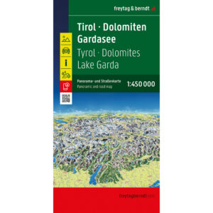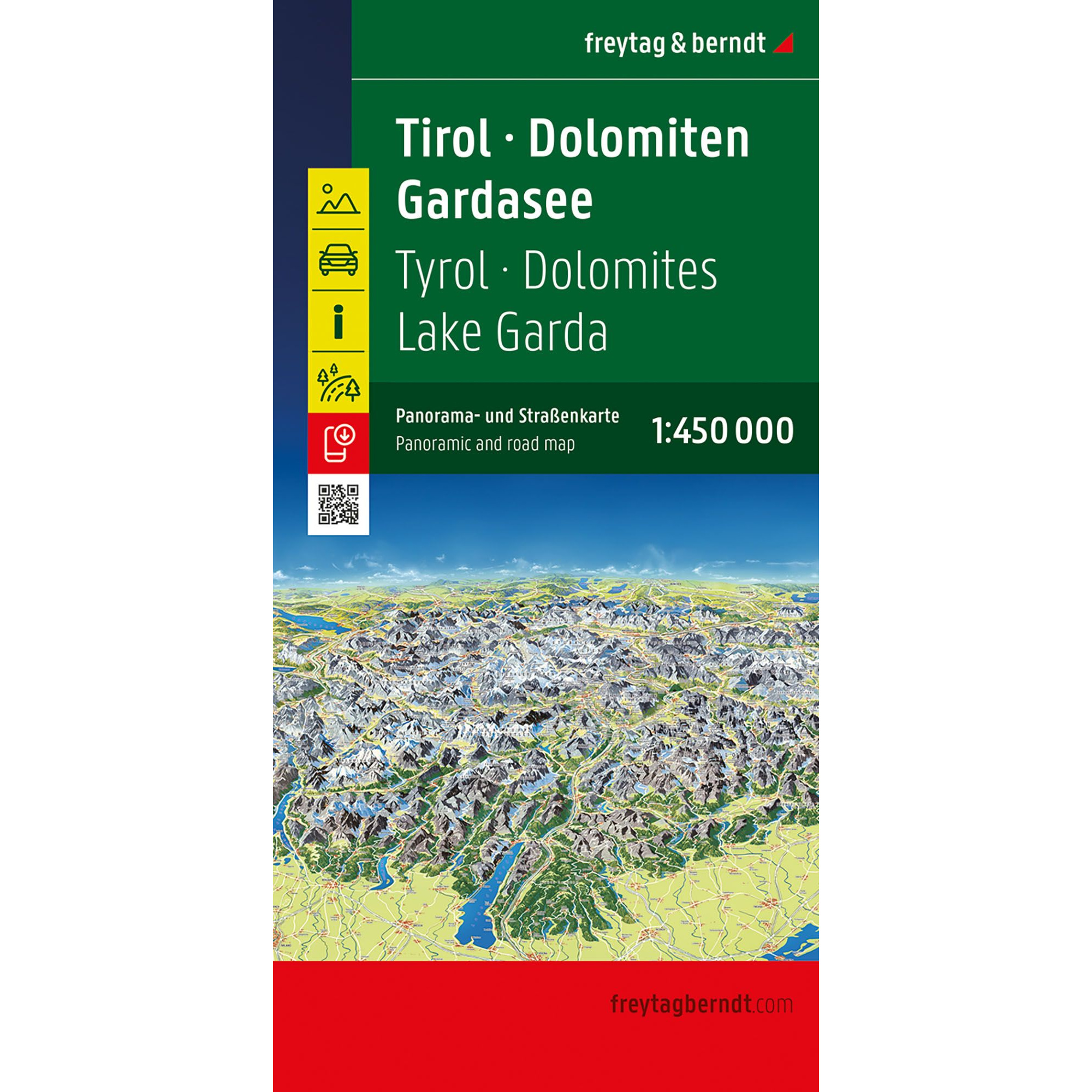
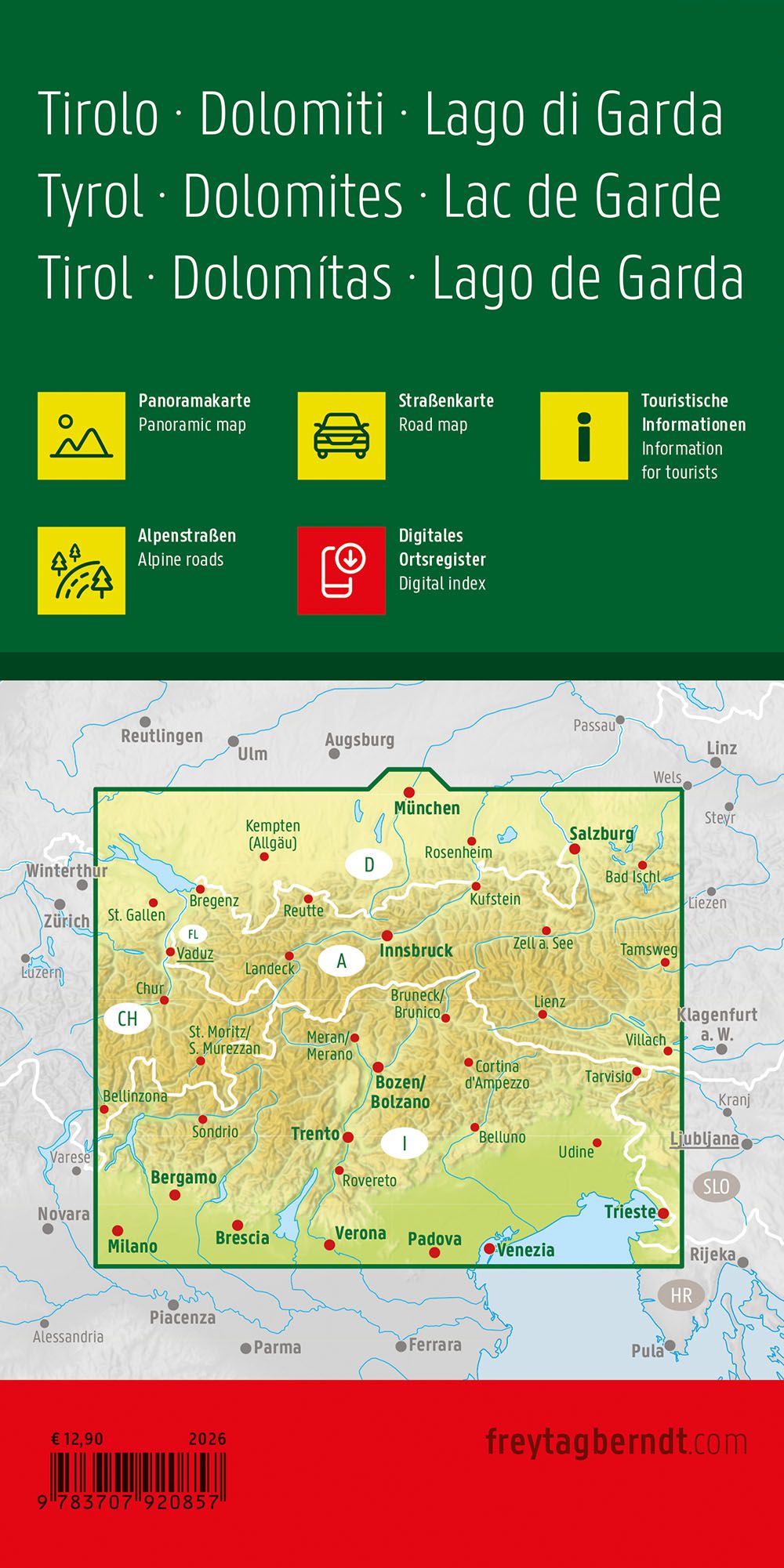
Description
Covering Tyrol, the Dolomites and Lake Garda, this detailed panoramic road map is designed for travelers who want both precise navigation and a visual overview of the landscape. The map combines a clear and easy-to-read road network with an illustrated panoramic view of the Alpine region, providing both practical orientation and inspiration for travel planning.
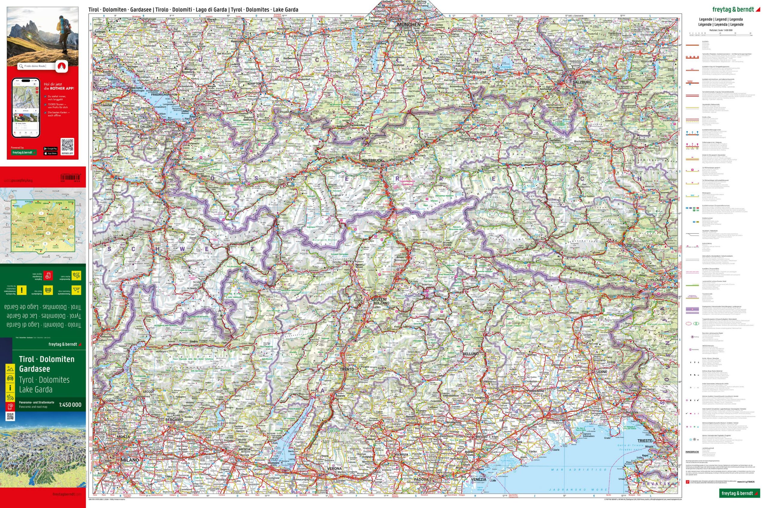
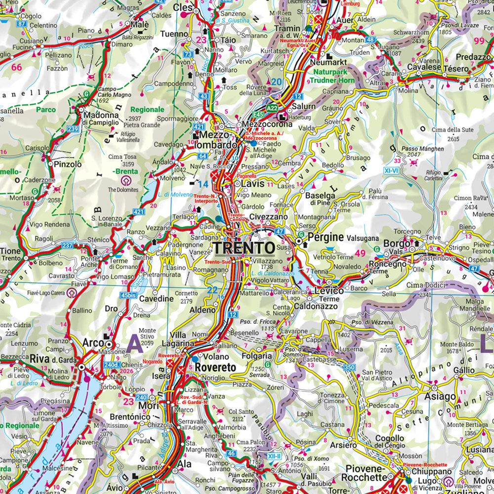
The front page shows a complete and clear road map at a scale of 1:450,000 with main and side roads, Alpine passes, tourist routes and important destinations. Distances and selected attractions are marked directly in the map image, making the map well suited for use by car, motorcycle or motorhome.
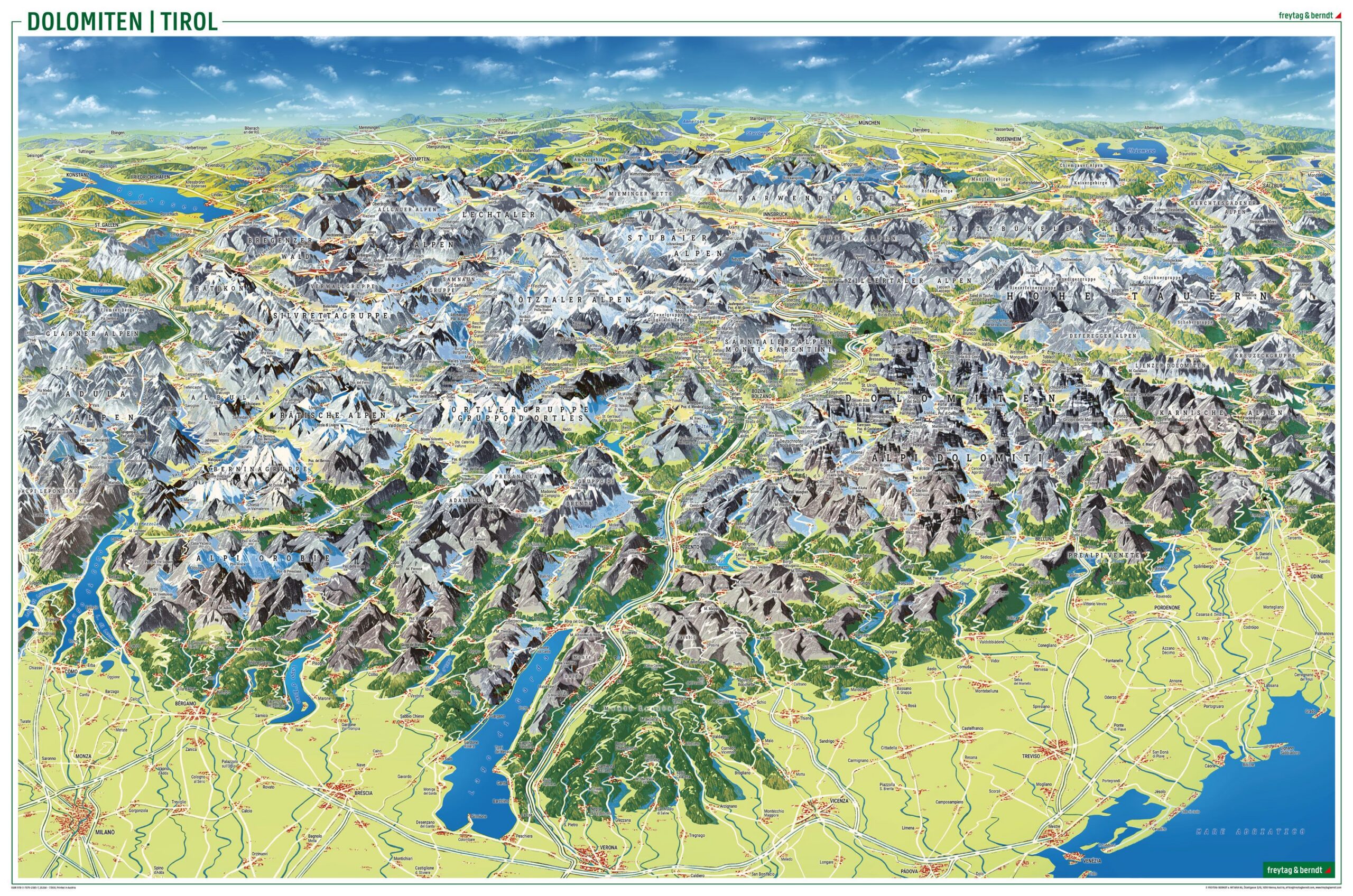
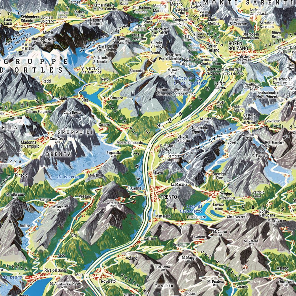
On the back is a separate, drawn panoramic map illustration that provides a comprehensive and easy-to-understand overview of the mountain areas of Tyrol and the Dolomites, as well as the region around Lake Garda. This provides a unique complement to the traditional road map and makes the map particularly suitable for planning routes in alpine terrain.
The map contains tourist information and alpine routes, as well as access to the digital location register via QR code.
The map is published in 2025 and printed in Austria by KOMPASS freytag & berndt.