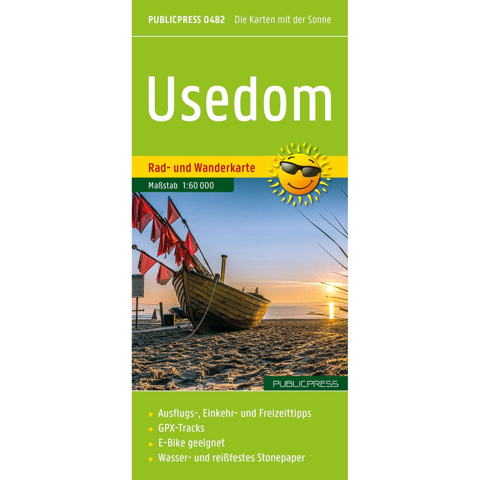
Description
This map covers the island of Usedom along the German Baltic Sea coast and provides a detailed overview of the area with a focus on hiking and activity-based travel. The map is well suited for planning and executing both cycling and hiking trips, and provides a good basis for exploring the island’s varied landscape.
The map shows an extensive network of marked cycling routes and hiking trails, stretching along the coast and through the island’s interior. Routes pass through traditional fishing villages, along lakes and through open landscapes, providing great opportunities for varied experiences. Tourist information and relevant stops are integrated into the map, making it easy to plan stages and find your way along the way.
The map is printed on durable, waterproof and tear-resistant material, making it suitable for active outdoor use in changing weather conditions. The clear cartography provides good legibility and overview, making it easy to find your way around the island.
Release year: 2026.