
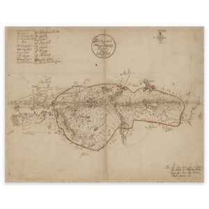

 Møre and Romsdal 1919


Møre and Romsdal 1919
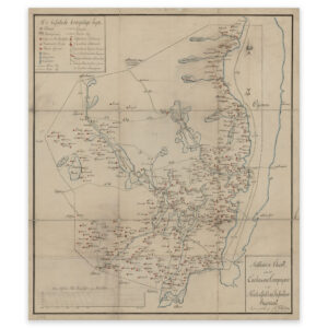
Map of parts of Møre og Romsdal from 1919. In the east, cartographers Ragnar Ziener and Fr. Eriksen have included Geiranger and Tafjord. The map is delivered in its original size of 76.5 x 52.8 cm. The size with frame and passepartout is 94.5 x 71.8 cm. Would you like the map in a different size? Just get in touch – we’ll be happy to give you a quote for customization.