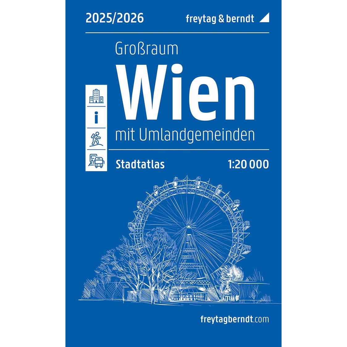

Description
This detailed road map of Vienna covers both the city center and the surrounding areas, including nearby municipalities in the metropolitan region. The map is designed in book format, making it convenient to use both when planning and moving around the city. The high cartographic precision and the clear map image make it easy to find your way around, whether you are traveling by car or want an overview of the city’s structure.
The map provides a comprehensive representation of the road network in Vienna, including one-way streets, short-term parking zones and thoroughfares, which is particularly useful for drivers. In addition, it contains information on public transport and walking areas close to the city, making it relevant also for visitors who want to explore the city on foot. A detailed street and place index makes it easy to look up addresses and navigate efficiently.
The cartography is structured so that both the city center and surrounding areas are presented in a clear way, with separate sections for the inner city and larger regional maps for Vienna and its surroundings. This makes the map well-suited both as a practical navigation tool and as a support for planning a stay in the city.
Release year: 2026.