The Norwegian Mapping Authority’s land maps – new and fully updated series (2025)
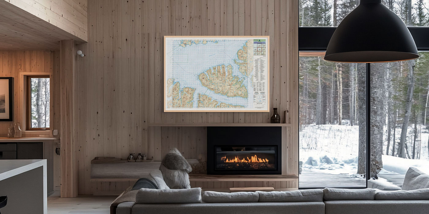
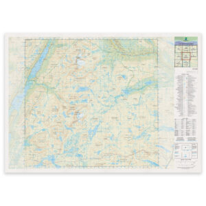
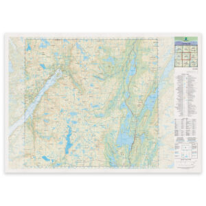
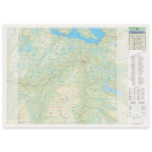
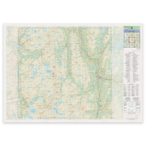
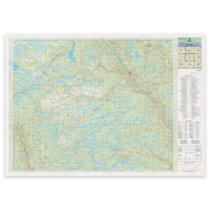
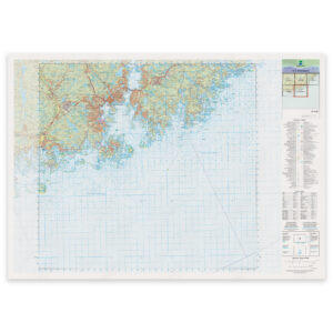
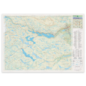
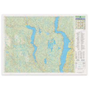
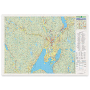
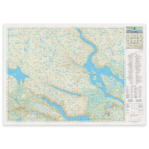
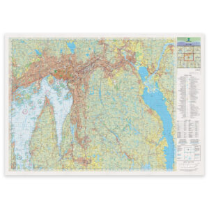
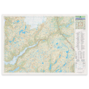
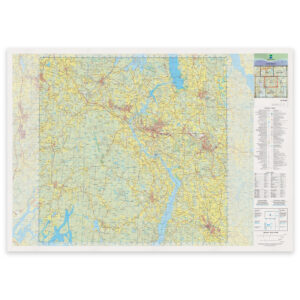
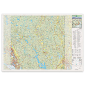
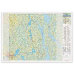
The Norwegian Mapping Authority’s N50 series are Norway’s official land maps. In May 2025, the Mapping Authority launched a brand new version – the first complete update in decades. The series consists of 405 map sheets at a scale of 1:50,000, covering the entire Norwegian mainland.
The maps show terrain, trails, roads, contour lines, and sea depths where relevant. They are printed on demand based on the latest available data.
You can view the entire map series in an overview map on the Norwegian Mapping Authority’s website (opens in a new tab).
View the overview map at the Norwegian Mapping Authority
All maps can be delivered framed, printed on an aluminum plate, or as loose sheets – ready for wall, table, or field use.
Select a county and find the maps covering your area:
-
Norwegian Mapping Authority – land map (N50): 25-E Nedre Fiplingvatnet
From 29,65 €
-
Norwegian Mapping Authority – national map (N50): 25-D Majavatn
From 29,65 €
-
Norwegian Mapping Authority – national map (N50): 26-D Aarborte Hattfjelldal
From 29,65 €
-
Kartverket – national map (N50): 26-C Trofors
From 29,65 €
-
Norwegian Mapping Authority – national map (N50): 10-G Bagn
From 29,65 €
-

Norwegian Mapping Authority – national map (N50): 04-H Larvik
From 29,65 €
-
Kartverket – national map (N50): 01-C Kristiansand
From 29,65 €
-
Norwegian Mapping Authority – national map (N50): 09-E Geilo
From 29,65 €
-
Norwegian Mapping Authority – national map (N50): 09-H Grymyr
From 29,65 €
-
Norwegian Mapping Authority – national map (N50): 08-H Hønefoss
From 29,65 €
-
Norwegian Mapping Authority – national map (N50): 07-E Haukeli
From 29,65 €
-
Norwegian Mapping Authority – national map (N50): 07-I Oslo
From 29,65 €
-
Norwegian Mapping Authority – national map (N50): 07-C Fjæra
From 29,65 €
-
Norwegian Mapping Authority – national map (N50): 06-K Askim
From 29,65 €
-
Kartverket – national map (N50): 05-I Porsgrunn
From 29,65 €
-
Norwegian Mapping Authority – national map (N50): 05-L Aremark
From 29,65 €