Norwegian Mapping Authority’s N50 Land Maps – Official Topographic Maps for Norway
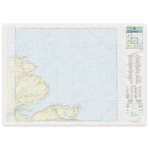
The Norwegian Mapping Authority’s N50 is Norway’s official topographic map series at a scale of 1:50,000. The maps provide precise overview of terrain, contour lines, water, trails, roads, and settlements – based on national map data from the Norwegian Mapping Authority, published in May 2025.
The maps in this series are well suited as wall maps and can be delivered ready-framed in glass and frame. The maps can also be printed directly on aluminum plate.
-

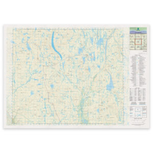
Swedish Mapping Authority – national map (N50): 38-M Vaggatem
From 29,75 €
Select options -
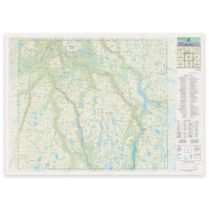
Swedish Mapping Authority – national map (N50): 39-G Mollejus
From 29,75 €
Select options -
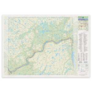
Swedish Mapping Authority – national map (N50): 40-G Gargia
From 29,75 €
Select options -
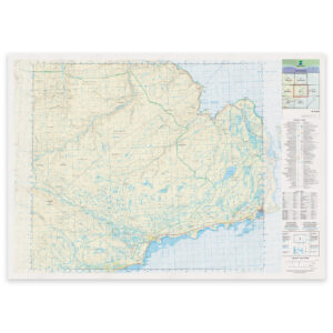
Swedish Mapping Authority – national map (N50): 41-J Sirbmá
From 29,75 €
Select options -
Swedish Mapping Authority – national map (N50): 42-L Kiberg
From 29,75 €
Select options -
Swedish Mapping Authority – national map (N50): 43-I Hamningberg
From 29,75 €
Select options