

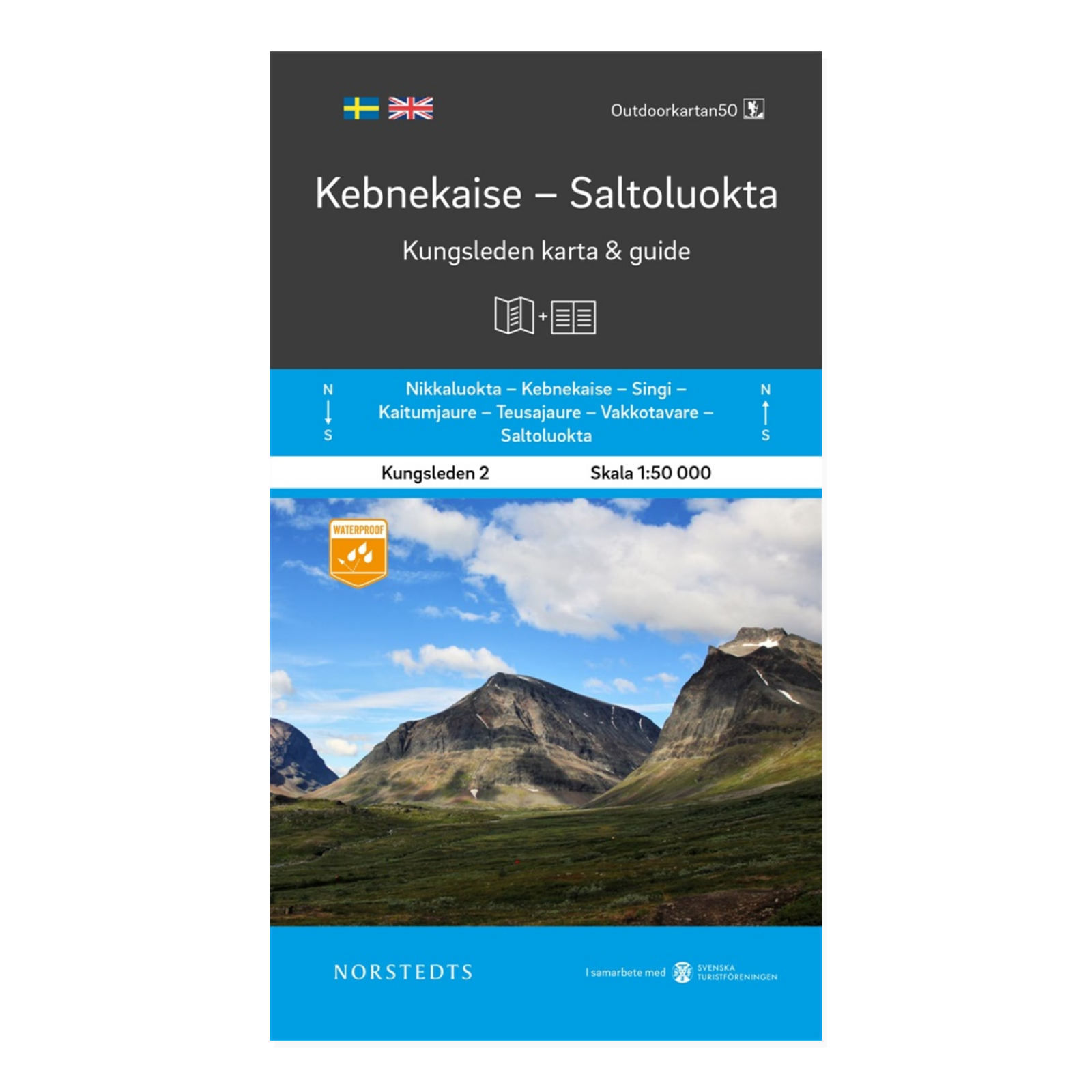

Description
Kungsleden 2 – Kebnekaise–Saltoluokta is a map and guide for this part of Sweden’s well-known long-distance walking route. It is a useful starting point for planning stages and getting to know the geography before a mountain walk along Kungsleden.
Area and place names connect this edition with Kebnekaise and Saltoluokta in Swedish Lapland. Use these endpoints when comparing the five Kungsleden titles and selecting the maps you need for your itinerary.
The 1:50 000 scale means one centimetre on the map represents 500 metres on the ground. This offers a closer view than a smaller-scale overview map, helping you study distances and terrain while planning.
Outdoorkartan Kungsleden comprises five titles extending from Abisko in the north to Hemavan in the south. This is part 2; it does not cover the entire Kungsleden trail on its own. For a longer through-hike, select additional parts to match your route.
Product details: Published in 2019. ISBN 9789113100869. Supplied as a physical map and guide from Kartförlaget.

