
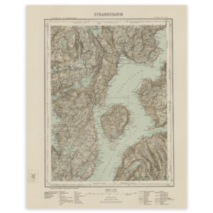


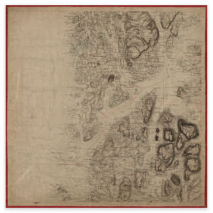
 Bømlo 1856


Bømlo 1856
Map of the area just north of Haugesund up to and including Bømlo and Stord. Hand-drawn by E. Lund in 1856. The map is delivered in its original size of 59.4 x 59.8 cm. The size with frame and passe-partout is 77.4 x 78.8 cm. Do you want the map in a different size? Just get in touch – we’ll be happy to give you a quote for customization.