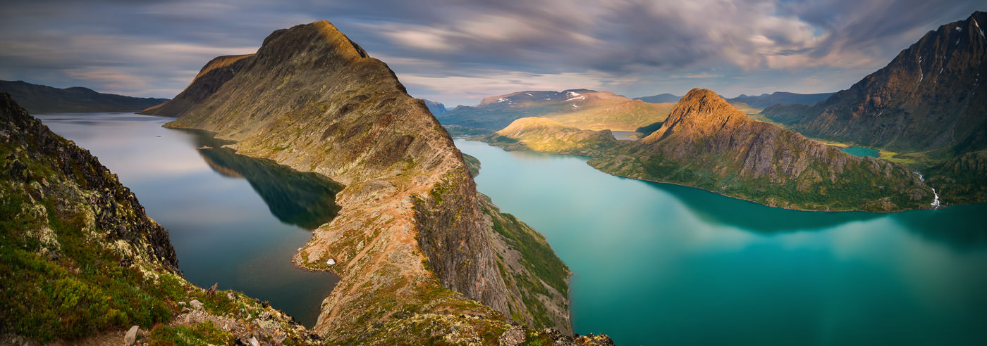
Besseggen
Besseggen, also known as Besseggi, is a prominent mountain ridge between Gjende and Bessvatnet in Jotunheimen, and is considered one of Norway’s most popular mountain hikes. Approximately 60,000 people complete the hike every year, enjoying views of the emerald-green Lake Gjende and the deep blue Lake Bessvatnet.
The hike can be completed in both directions, starting from either Gjendesheim or Memurubu, and typically takes 6–8 hours. The ridge is exposed to weather and wind, making thorough preparation essential. A map and compass, a fully charged mobile phone, first aid equipment, and a headlamp are always recommended, even during the summer season.
Memurubu Mountain Lodge is located at the base of the Memurudalen valley by Lake Gjende, midway between Gjendesheim and Gjendebu, with Besseggen and Bukkelægret on either side. The site has long traditions as a mountain farm and tourist cabin, and is today a popular starting point for excursions in Jotunheimen, including both day trips and longer mountain treks.
The Gjende boats provide easy access to the area during the summer season, with daily departures between Gjendesheim, Memurubu, and Gjendebu. Many choose to combine a boat trip with a hike, for example by hiking Besseggen one way and taking the boat back. From Gjendebu, marked trails lead further to destinations such as Glitterheim, Spiterstulen, and Leirvassbu.
Gjendebu is the DNT’s oldest tourist cabin, built in 1871, and is idyllically situated at the inner end of Lake Gjende. The area offers a varied high-mountain landscape with marked routes, making reliable maps essential for safe travel and effective planning.
Hiking Map of Besseggen
Here you will find selected hiking maps covering Besseggen, Gjende, and nearby mountain areas in Jotunheimen, suitable for both day trips and longer mountain treks.
-
In stock
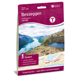
Besseggen DNT Hiking Map
18,98 € Add to cart -
In stock
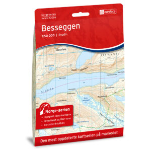
Besseggen Norway Series Hiking Map
18,98 € Add to cart -
In stock
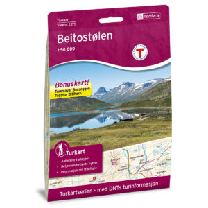
Beitostølen DNT Hiking Map
18,98 € Add to cart -
In stock
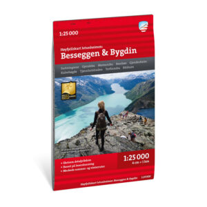
High mountain map Jotunheimen: Besseggen & Bygdin 1:25,000
17,52 € Add to cart -
In stock
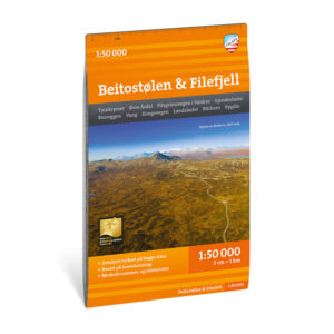
Turkart Beitostølen & Filefjell 1:50.000
17,52 € Add to cart
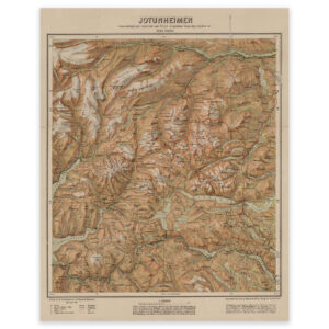
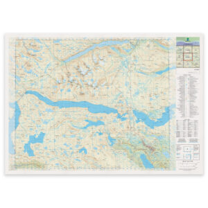
The Mapping Authority’s N50 Series – Besseggen
The Norwegian Mapping Authority’s N50 map series is Norway’s official land map, with a new version released in May 2025. The maps provide detailed and easy-to-read terrain information and are delivered as print-on-demand rolls in 103 × 73 cm format.

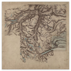
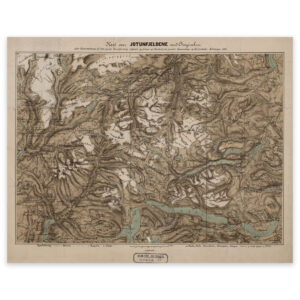
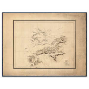
Historical Maps of Jotunheimen
A selection of historical maps showing Besseggen and Jotunheimen as the area has been mapped previously, suitable as both references and decorative wall maps.