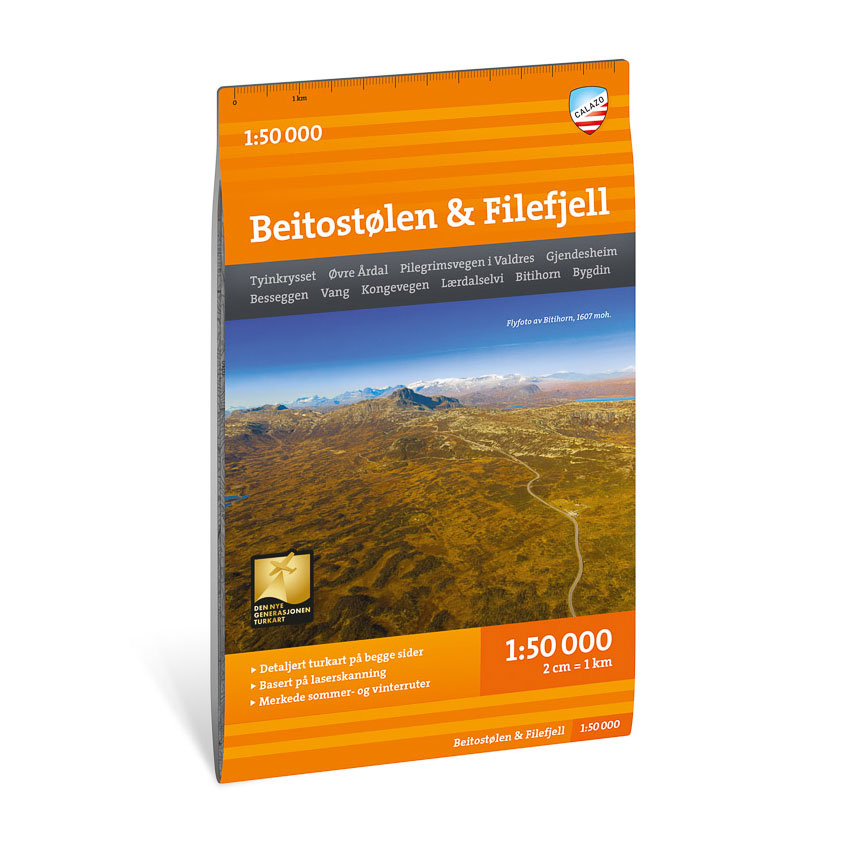
Description
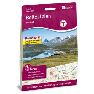
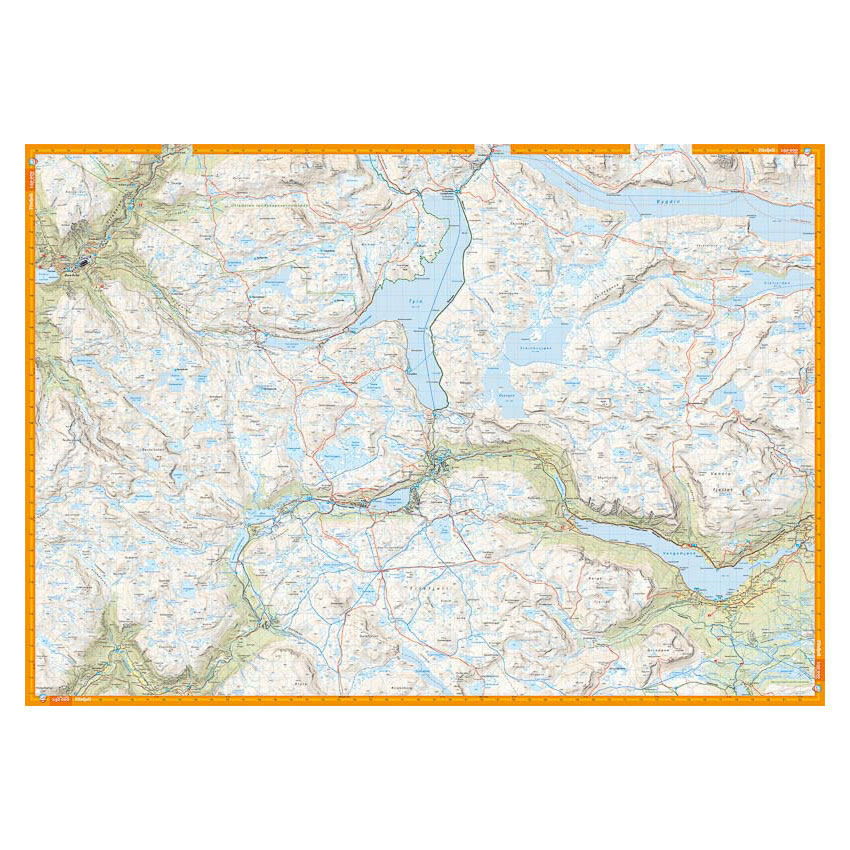
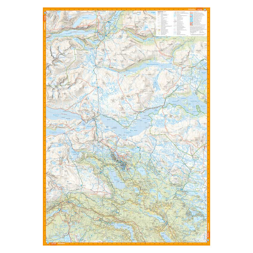
Turkart Beitostølen & Filefjell covers the northern valleys of the Valdres region and the southern parts of Jotunheimen. The map is printed with map sections on both the front and back and provides an overview of a varied mountain area with both short hikes and longer mountain walks.
The area includes popular hiking destinations and routes such as Pilegrimsvegen in Valdres, Besseggen and Bitihorn (1607 m). The map shows marked summer and winter routes, groomed ski trails and cabins run by DNT and other operators. Trails and routes have been reviewed and corrected using detailed aerial photographs and terrain data, providing an accurate representation of the route network in the area.
The map is at a scale of 1:50,000, which is the most common scale for longer mountain hikes. At this scale, 2 cm on the map corresponds to 1 km in the terrain. The terrain information is based on detailed elevation data and provides a clear and concise representation of the landscape.
Calazo Förlag is a Swedish publishing house specializing in maps and books for outdoor life in the Nordic region.
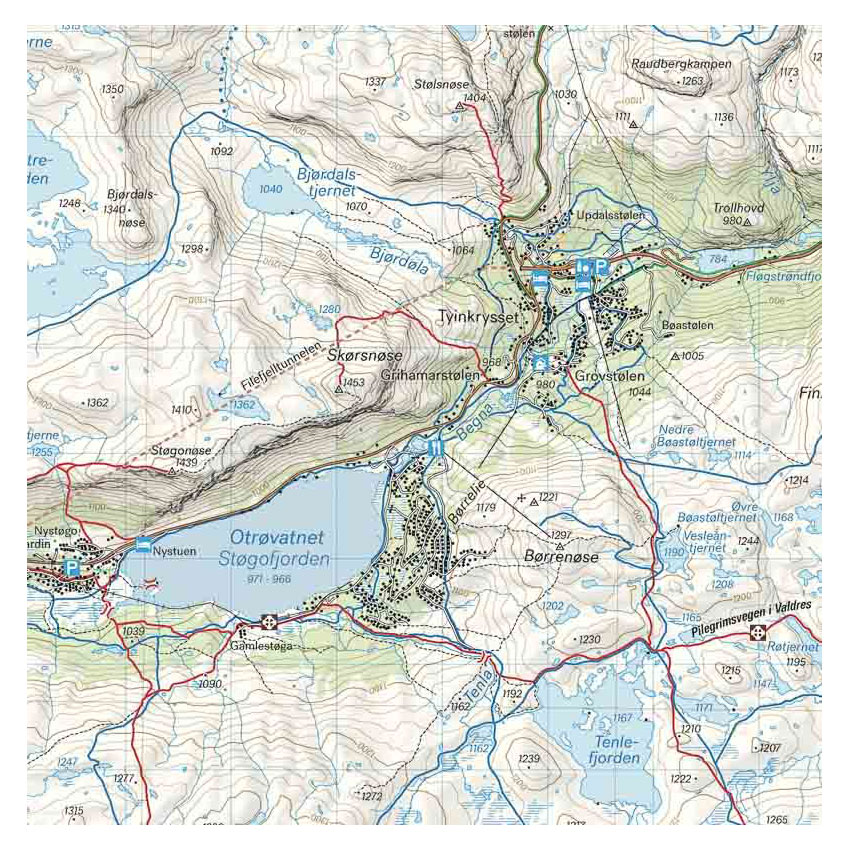
Here you can see the area the map covers:
The map is released in 2023.