Geiranger
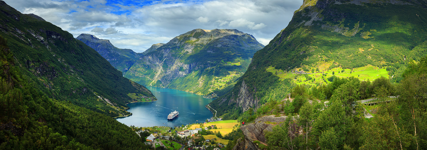
Geiranger is a small, idyllic village at the innermost part of Geirangerfjord, known for its dramatic scenery with deep fjords and high, snow-capped mountains. The area was inscribed on UNESCO’s World Heritage List in 2005 and has attracted visitors since the early 1800s.
Geirangerfjord is about 15 km long and up to 260 meters deep, while the surrounding mountains rise up to 1700 meters above sea level. The landscape was shaped by Ice Age glaciers, which created the characteristic fjords and the spectacular terrain that defines the area today.
The fjord is best experienced both from the sea and from viewpoints high above the valley. Fjord cruises and Hurtigruten offer views from the water, while famous viewpoints such as Flydalsjuvet, Ørnesvingen, and Dalsnibba provide panoramic views of Geiranger, the fjord, and the waterfalls. At Dalsnibba, you will also find Geiranger Skywalk, a viewing platform with glass railings and grates in the floor, offering a steep drop towards the fjord.
Geiranger offers a wide range of hiking opportunities, from easy waterfall walks to challenging summit hikes. The hiking trails in the area are well-marked, and popular routes include Storsæterfossen (2.4 km) and the long and demanding trip from Vesterås to Kaldhusseter (20.6 km). The area is also well-suited for activities such as paddling, cycling, and fishing, as well as more action-packed experiences like rafting, fjord safaris, and climbing.
The varied terrain and numerous viewpoints make good maps crucial for safe travel and effective planning, whether you are hiking, driving mountain roads, or exploring the fjord and surrounding areas.
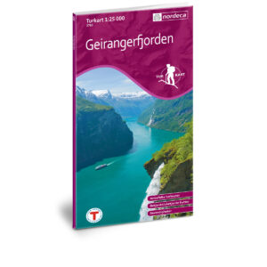
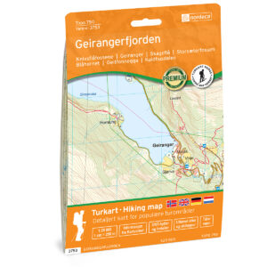
Hiking Maps of Geiranger
Here you will find hiking maps covering Geiranger, Geirangerfjord, and the surrounding mountain areas, suitable for both day hikes, summit tours, and planning high-mountain travel.
Experience Guides and Road Maps of Geiranger
Experience guides and road maps that make it easier to plan routes, viewpoints, and attractions in and around Geiranger. A good supplement to hiking maps for road trips and exploring the fjord and mountain roads in the area.
-
In stock
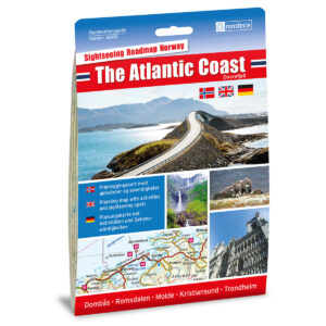
The Atlantic Coast / Dovrefjell 1:250 000 Experience Guide
18,23 € Add to cart -
Low stock

The mountains / Gudbrandsdalen 1:250,000 Experience Guide
18,23 € Add to cart -
In stock
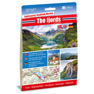
The Fjords / Vestlandet 1:250,000 Sightseeing Guide
18,23 € Add to cart -
In stock

Gamle Strynefjellsvegen National Tourist Routes
18,23 € Add to cart -
BestsellerIn stock
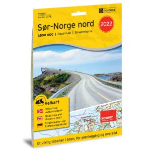
Road Map Southern Norway North
16,77 € Add to cart -
In stock
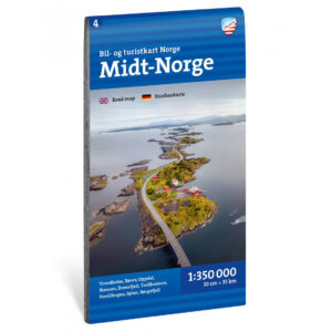
Car and tourist map Central Norway 1: 350 000
16,47 € Add to cart -
In stock
Central Norway – roadmap (multilingual)
16,77 € Add to cart
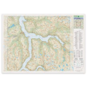
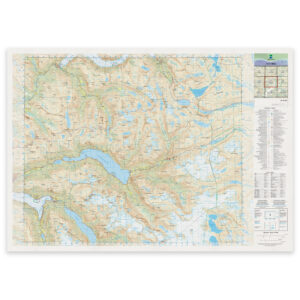
Kartverket’s N50 Series – Geiranger
Kartverket’s N50 map series is Norway’s official land map, with a new version released in May 2025. The maps provide detailed and easy-to-read terrain information, and are delivered as print-on-demand on a roll in 103 × 73 cm format.
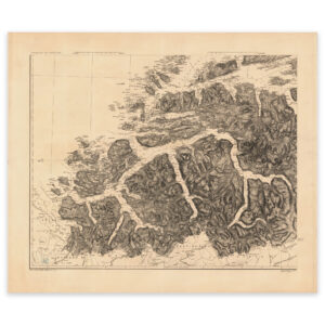
Historical Maps of Geiranger
Historical maps showing Geiranger and Geirangerfjord as the area has been mapped previously, suitable both as reference and decorative wall maps.