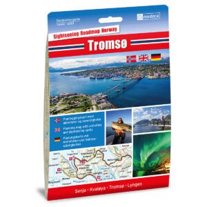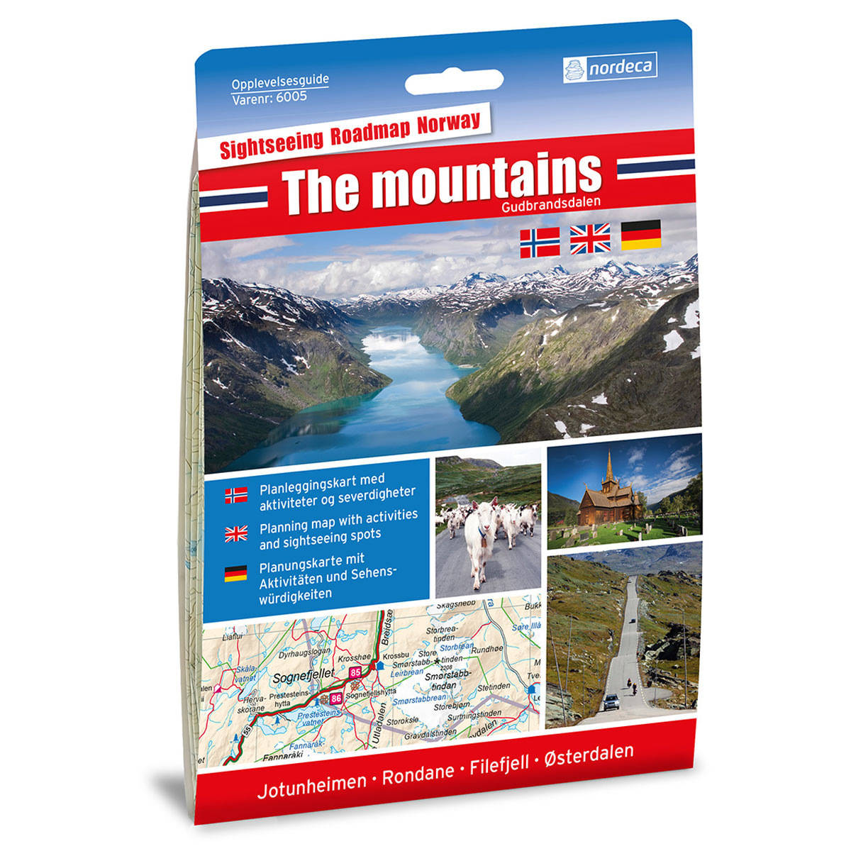
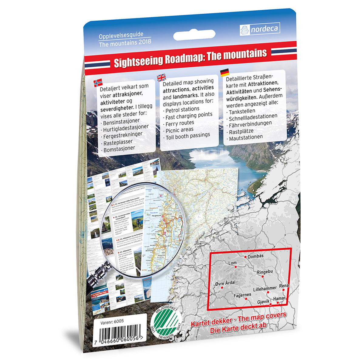
Description
This experience guide is designed for those who want to explore The mountains / Gudbrandsdalen by car and get a good overview of areas, attractions and popular destinations. The guide combines clear road maps at scale 1:250,000 with texts and images that provide inspiration and useful context before and during the journey.
The content is adapted for planning road trips and provides a comprehensive presentation of the region, with focus on experiences, stopping points and tourist destinations along the way. The guide works well as a supplement to digital maps and navigation, and functions as a practical and clear aid in the car or during planning at home.
The guide was published in 2018. Although some roads, route choices and details related to destinations are not always 100% up to date, the guide still provides a good and relevant overview of the area and is well suited as inspiration and travel aid for road trips.
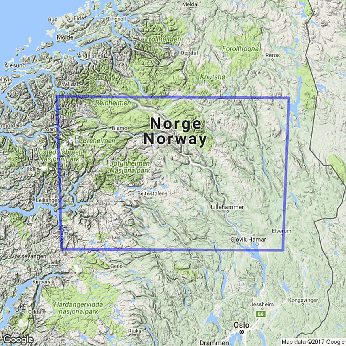
The map covers places such as Dombås, Lom, Ringebu, Rena, Lillehammer, Gjøvik, Fagernes, Øvre Årdal, Jotunheimen, Rondane, Filefjell, Østerdalen, Geiranger, Strynefjellet, Folldal, Koppang, Gudbrandsdalen, Elverum and Brumunddal.