
Description
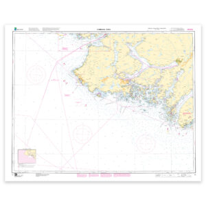
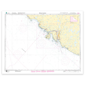
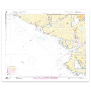
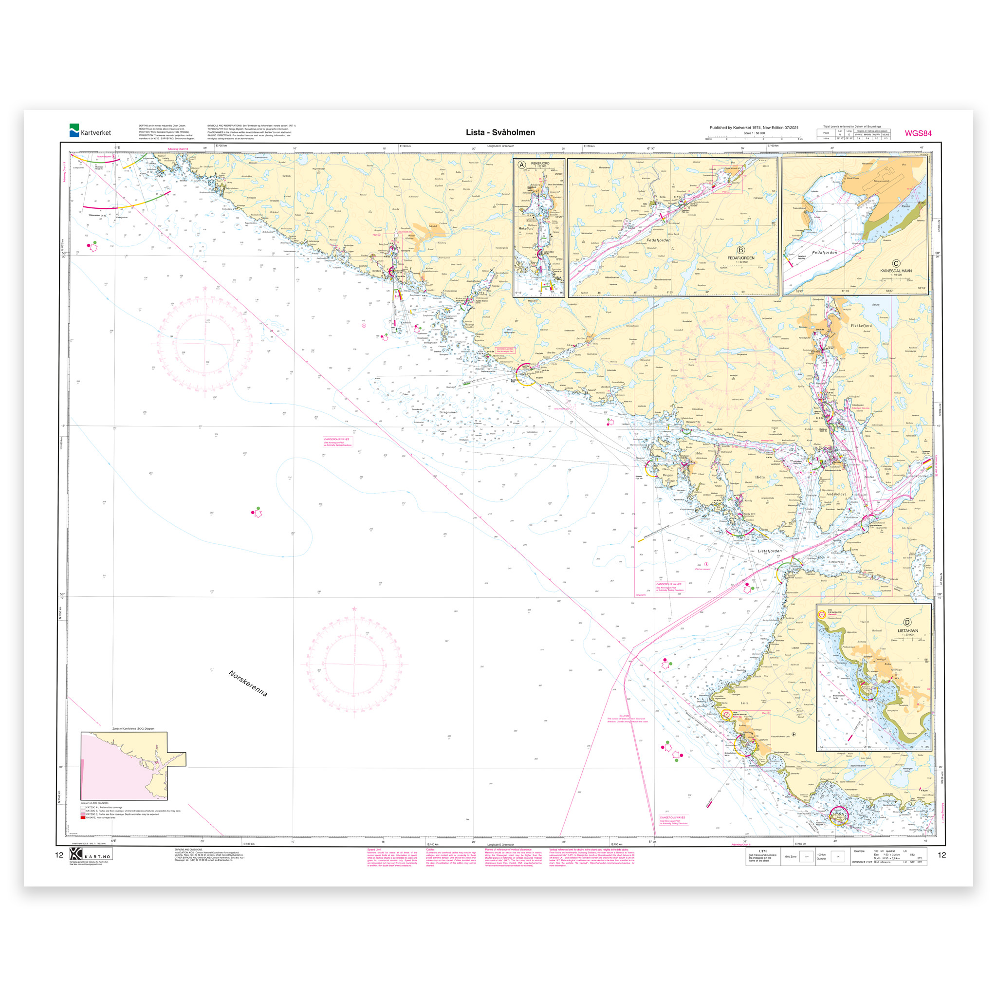
Nautical chart covering the waters Lista – Svåholmen. Map sheet 12 in the Norwegian Mapping Authority’s main map series. The map is 86 x 106 cm and has a scale of 1:50,000. Can also be delivered on a plate or framed. Size with passepartout and frame is 107 x 126 cm.
The nautical chart for Lista – Svåholmen provides a good overview and precise information for safe navigation and planning in the area. The coverage is particularly useful for those who are looking for nautical charts for this particular area, and who want a clear overview of local waters and nearby coastlines.
Map sheet 12 in the Norwegian Mapping Authority’s main map series. This map has a scale of 1:50,000 and a size of 86 x 106 cm, which provides good legibility in the area. Since the map is printed when ordered as print-on-demand, you will receive a product with the latest available updates from the Mapping Authority.
The nautical chart is based on official data from the Norwegian Mapping Authority and is designed for those who want quality, precision and up-to-date map information.
For many, 125-gram map paper is the right choice when the map is primarily intended as a backup, while 180-gram map paper is the best option for active navigation and notes along the way. If the map is to be used in harsh environments, Tyvek is a very durable alternative. For framing and decoration, art paper is an exclusive choice with a clear structure and high quality.
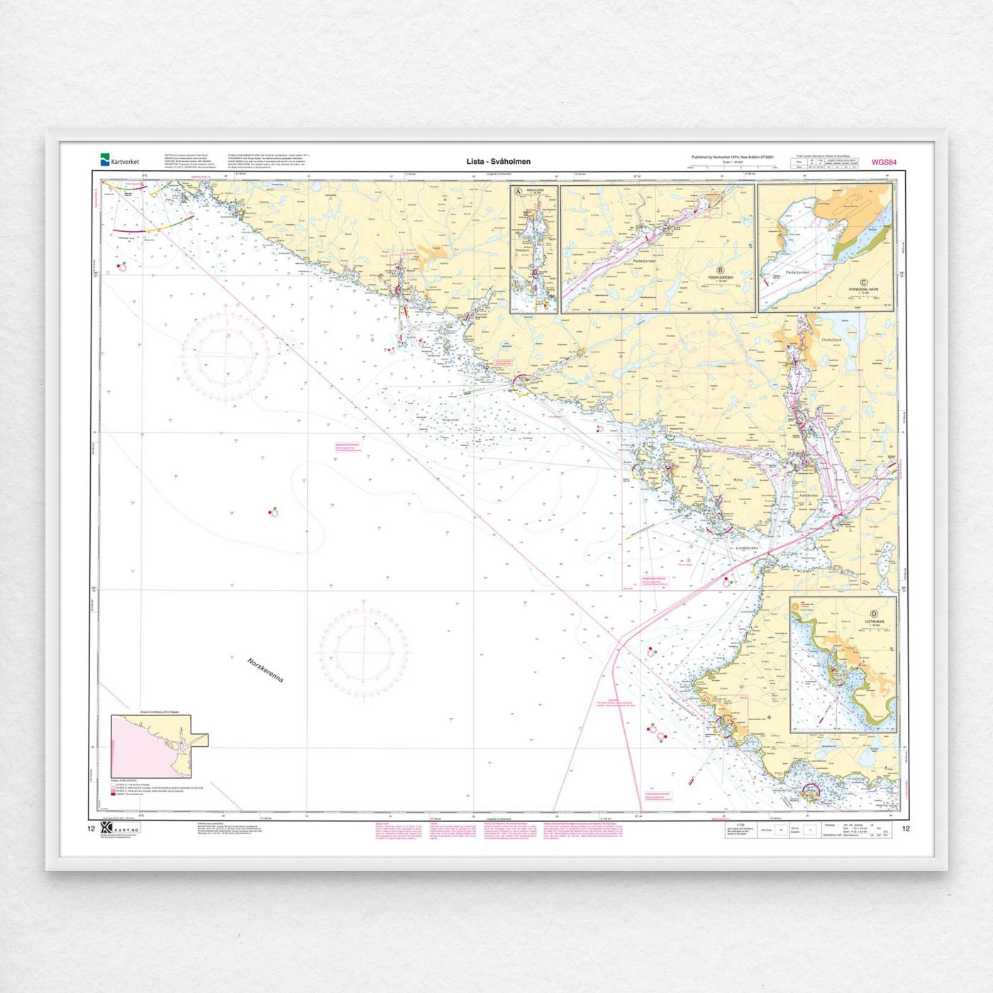
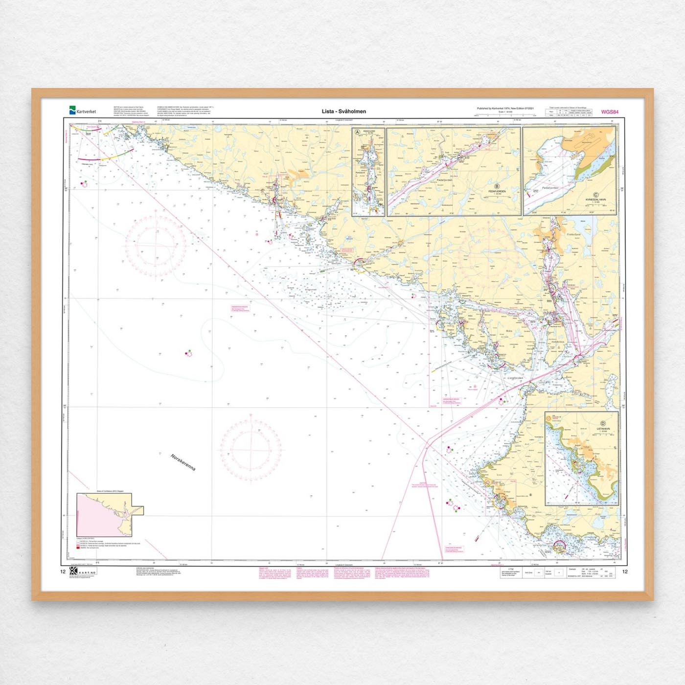
The map can also be delivered framed, with passepartout, or mounted on aluminum plate. This makes it just as suitable for use as a wall map in your home, cabin or office. Size with passepartout and frame is 107 x 126 cm.