Description
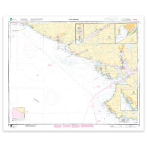
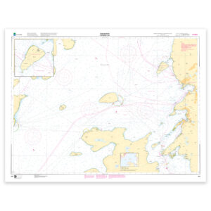
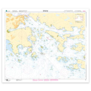
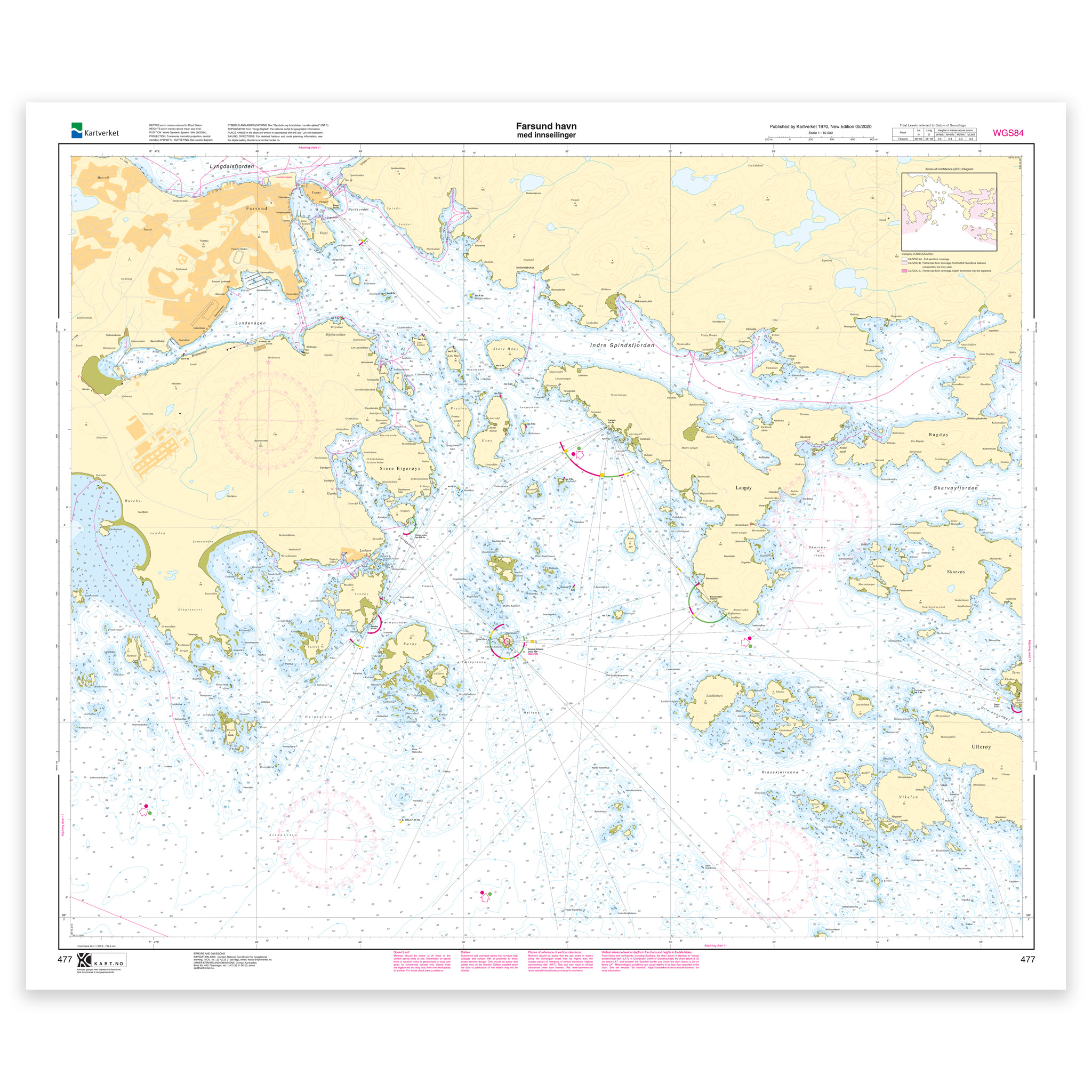
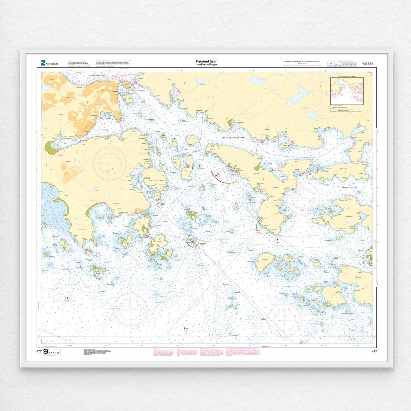
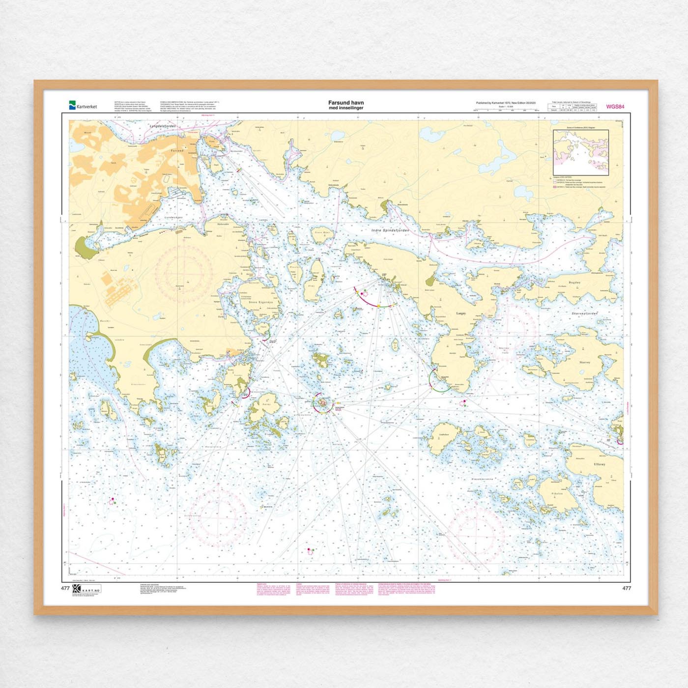
Nautical chart covering the waters of Farsund harbor with approaches. Map sheet 477 in the Norwegian Mapping Authority’s harbor map series. The map is 86 x 102 cm and has a scale of 1:10,000. Can also be delivered on a plate or fully framed. Size with passepartout and frame is 107 x 122 cm.
The map covers the port of Farsund and its approaches and is designed for those who need an up-to-date nautical chart for active use along the coast. The place names in the map area make it easy to find the right coverage for this particular part of the coast, whether you use the map actively on board or want it as an overview map.
Map sheet 477 in the Norwegian Mapping Authority’s harbor map series. This map has a scale of 1:10,000 and a size of 86 x 102 cm, which provides good readability in the area. This nautical chart is produced when ordered, so you get a fresh edition with updated information from the Norwegian Mapping Authority.
The nautical chart is based on official data from the Norwegian Mapping Authority and is designed for those who want quality, precision and up-to-date map information.
For many, 125-gram map paper is the right choice when the map is primarily intended as a backup, while 180-gram map paper is the best option for active navigation and notes along the way. If the map is to be used in harsh environments, Tyvek is a very durable alternative. For framing and decoration, art paper is an exclusive choice with a clear structure and high quality.
In addition, the map can be delivered with a frame or on an aluminum plate, ready to hang up as a practical and decorative map. Size with passepartout and frame is 107 x 122 cm.