
Description
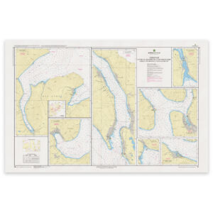
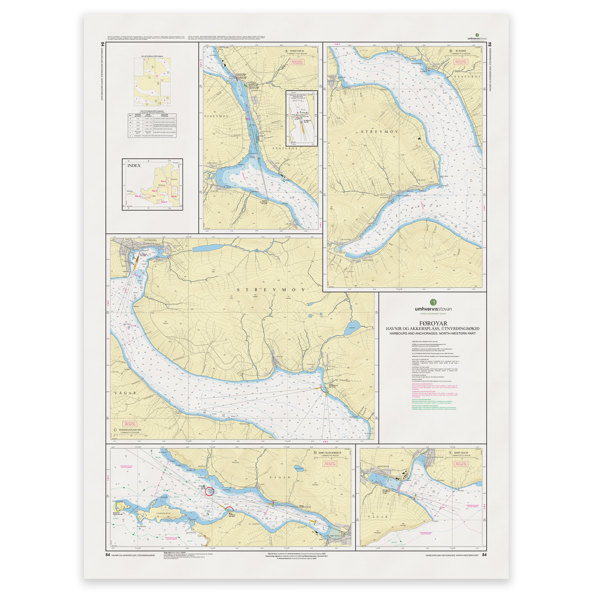
Harbours and anchorages in the northwestern Faroe Islands. Chart 84 from the Faroese Hydrographic Office covers this area at a scale of 1:20,000.
Chartwork for these waters. Chart 84 provides a reference for working with routes through the area described above. The 1:20,000 scale indicates the level of detail; any inset plans may use a different scale.
Places on this chart. Coverage includes Vestmannasund, Oyrargjógv and the waters between Kjalnestangi and Selatrað.
Printed to order. Each copy is printed to order using Print-on-Demand (POD) on matt 125 gsm chart paper. We use the latest available chart file at the time of printing. Chart corrections may be issued after printing and should be applied to the chart used on board.