
Description
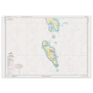
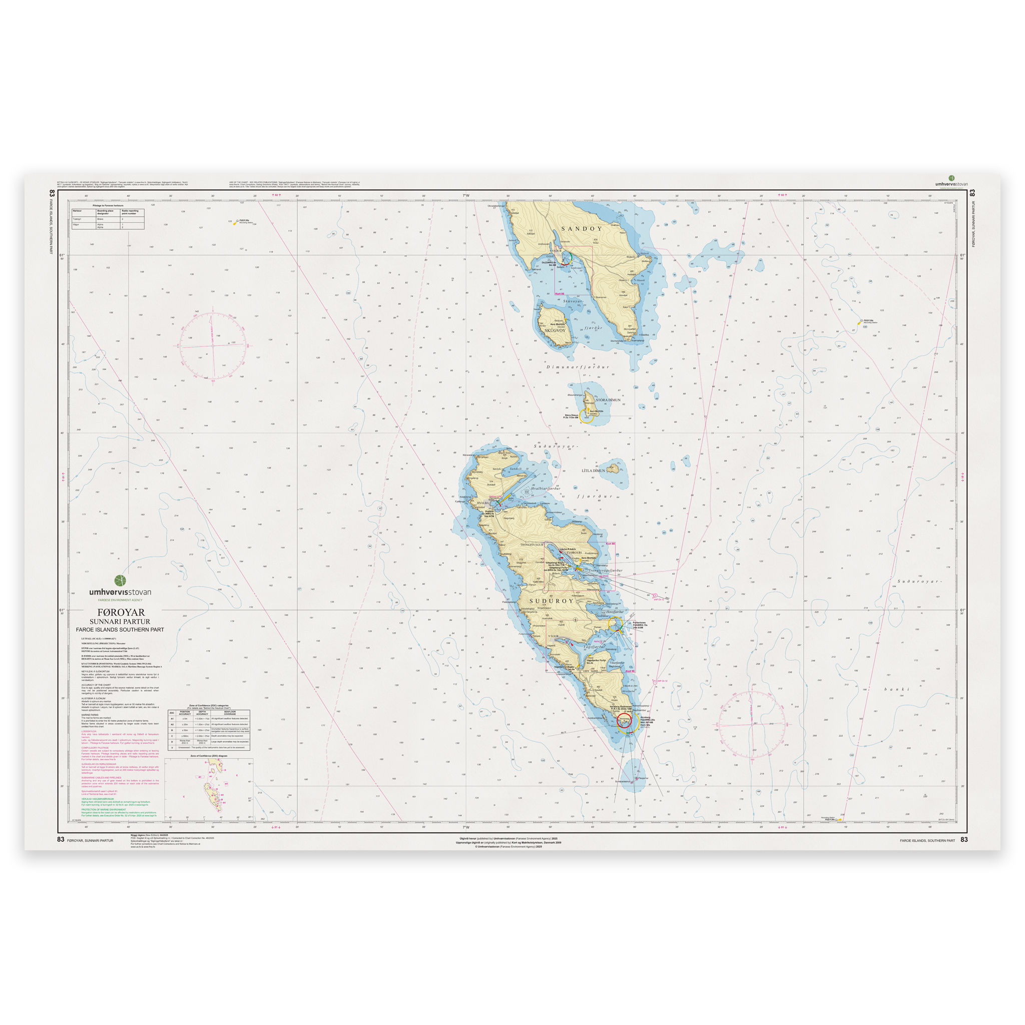
Faroe Islands Chart 83 – Southern Part (Føroyar Sunnari partur) is an official nautical chart published by Geodatastyrelsen at a scale of 1:100 000.
The map covers the southern part of the Faroe Islands and associated sea areas. With a scale of 1:100,000, the map provides a detailed depiction of the main waters, coastlines and key passages in the southern part of the archipelago. The map is well suited for calls, planning and execution of sailing between the islands as well as navigation in open and more coastal waters.
The map shows depths, shoals, navigation installations, lighthouses, beacons and other nautical information necessary for safe navigation. The waters to the south of the Faroe Islands are exposed to weather and sea swells from the North Atlantic, and the combination of currents, steep coastal sections and changing weather conditions places high demands on navigation and an up-to-date chart base.
The map serves as an important working map for both commercial and leisure vessels operating in the area. For navigation in narrow straits and when entering smaller harbors, larger scale charts are recommended where available.
The map is delivered as Print-on-Demand (POD) under license from Geodatastyrelsen. It is produced when ordered and updated to the latest available Notices to Mariners at the time of printing. You’ll receive a fresh and updated reprint based on current official map data.
The map is printed on durable, matte 125 g paper approved for official nautical charts. Corrections are published continuously, and new updates may occur after printing. With Print-on-Demand, you get the most up-to-date paper edition practical at the time of ordering.