Description
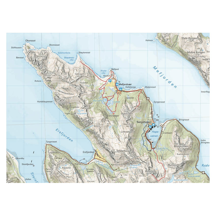
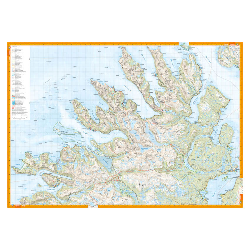
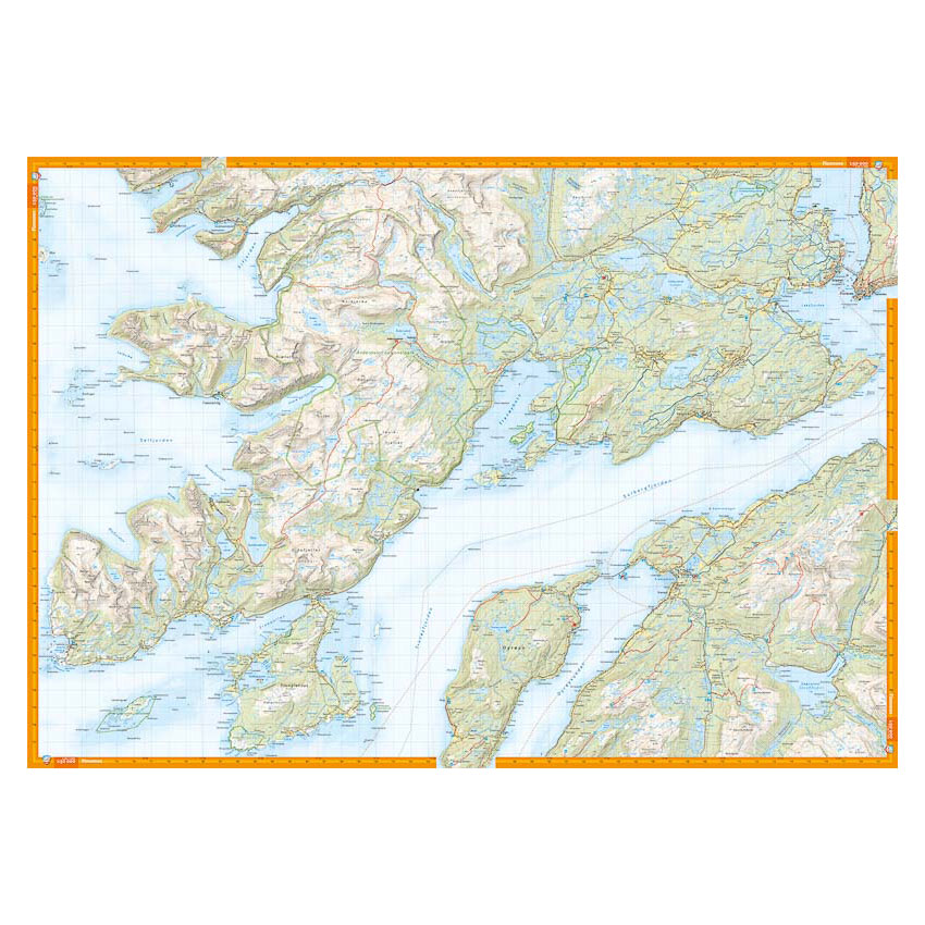
Turkart Senja covers the whole of Senja with map sections on both the front and back. The island is known for its high, steep mountains with a distinct alpine feel, and offers some of Norway’s most popular areas for ski touring and challenging mountain hikes.
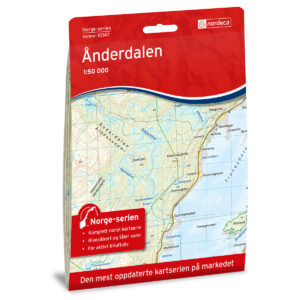
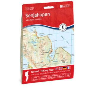
The map includes hiking destinations such as Keipen (938 m), Luttinden (759 m) and Kvænan (963 m), as well as areas such as Segla, Botnhamn, Senjahopen and Ånderdalen National Park. The terrain information is based on detailed elevation data and provides a precise representation of mountain ridges, water, peaks and other landscapes. The map shows marked routes where applicable and provides a good basis for planning both summer and winter hikes in steep and exposed terrain.
The map is at a scale of 1:50,000, which is the most common scale for longer mountain hikes. At this scale, 2 cm on the map corresponds to 1 km in the terrain. This provides a good balance between level of detail and overview of larger areas.
Calazo Förlag is a Swedish publishing house specializing in maps and books for outdoor life in the Nordic region.
Here you can see the area the map covers:
The map is released in 2023.