
Description
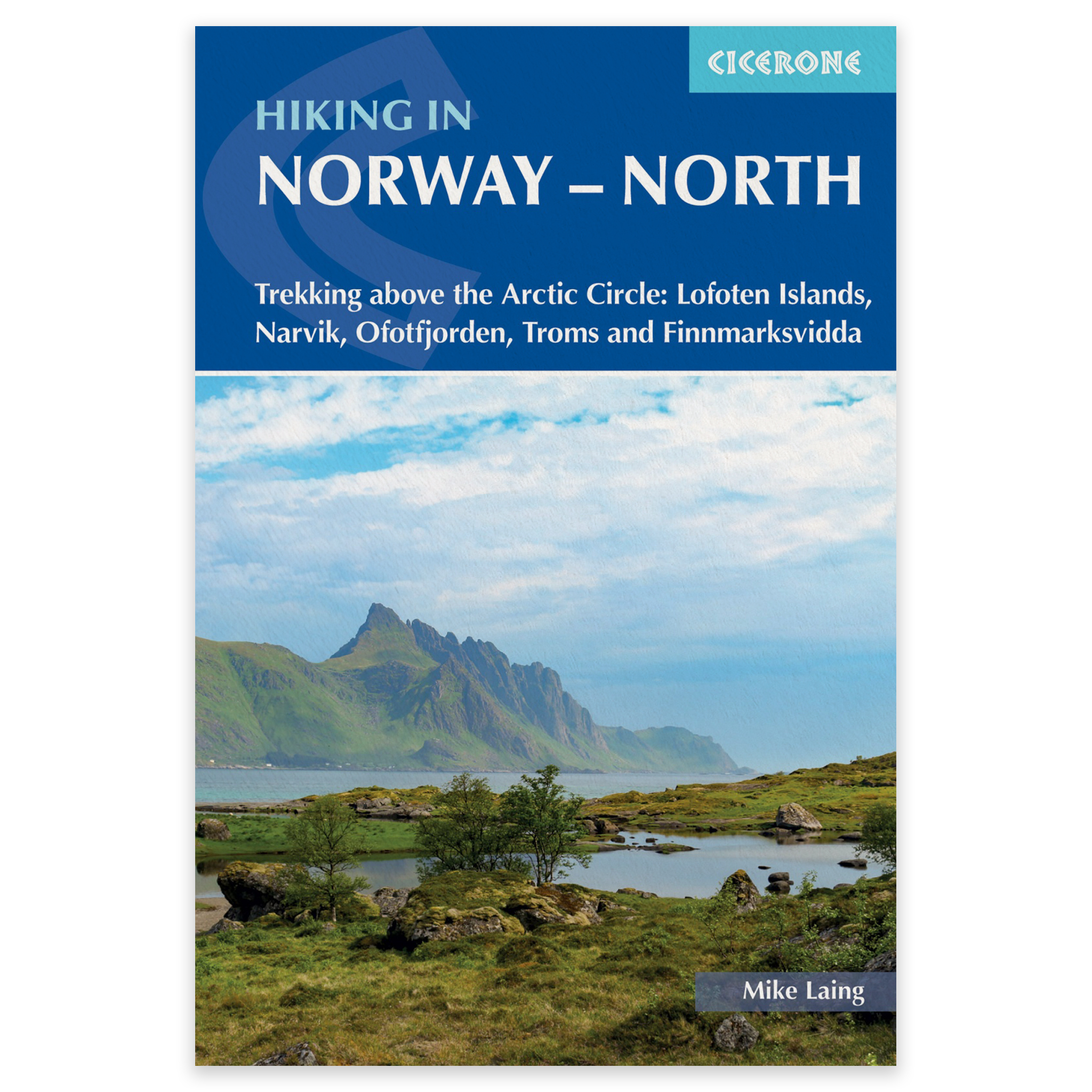
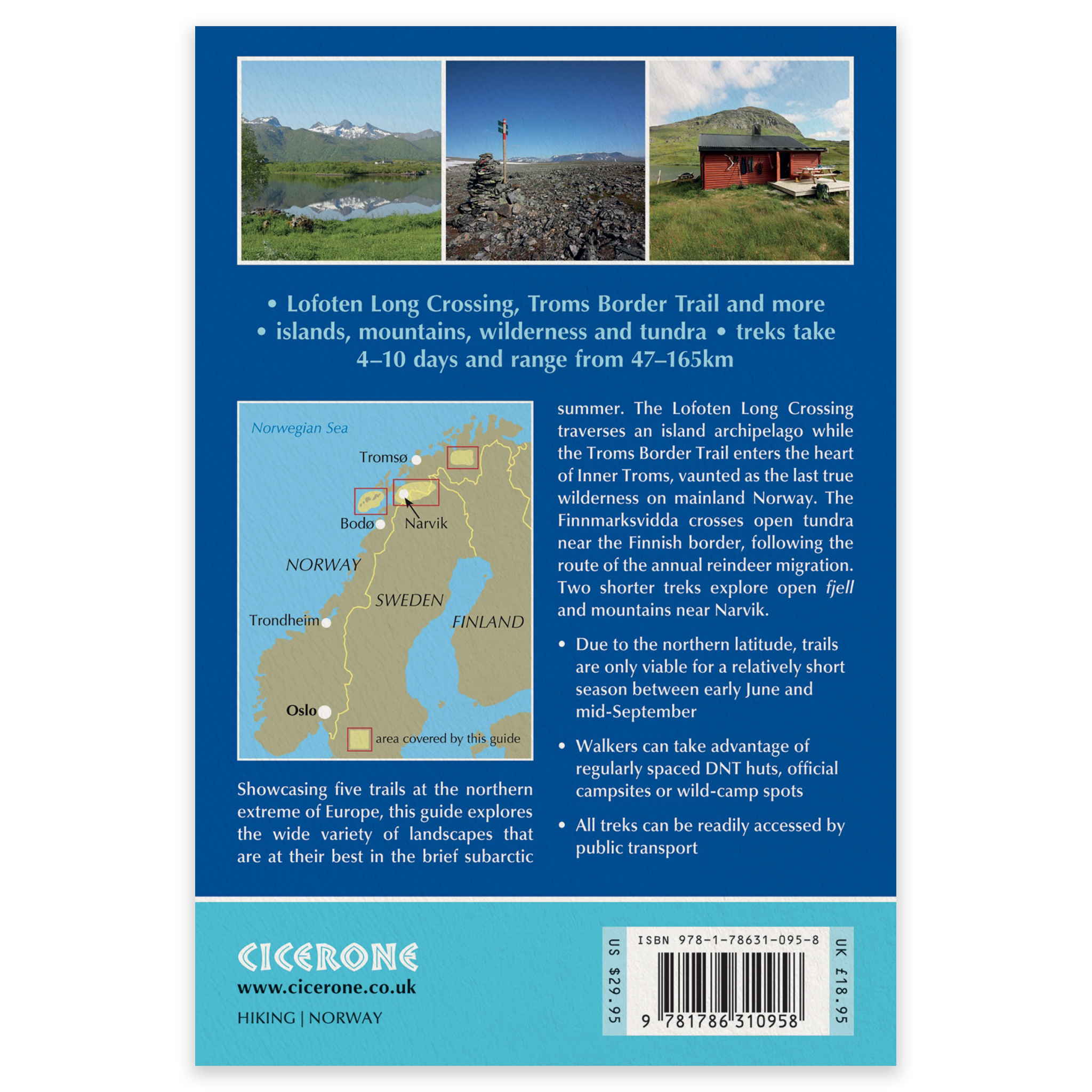
Hiking in Norway – North is an English-language Cicerone guide to five challenging multi-day hikes in northern Norway. All the routes lie above the Arctic Circle and explore some of the most dramatic and remote landscapes of the Lofoten Islands, Narvik, Ofotfjorden, Troms and Finnmarksvidda.
The treks range from 48 to 165km and take between 4 and 10 days to complete. They offer a remarkable variety of landscapes, from the steep mountains and coastline of Lofoten to open tundra, deep fjords and the wilderness of Europe’s far north. Some routes also cross into Sweden or Finland.
Five multi-day hikes above the Arctic Circle
The guide contains detailed descriptions of five independent long-distance treks, each offering different landscapes, challenges and accommodation options:
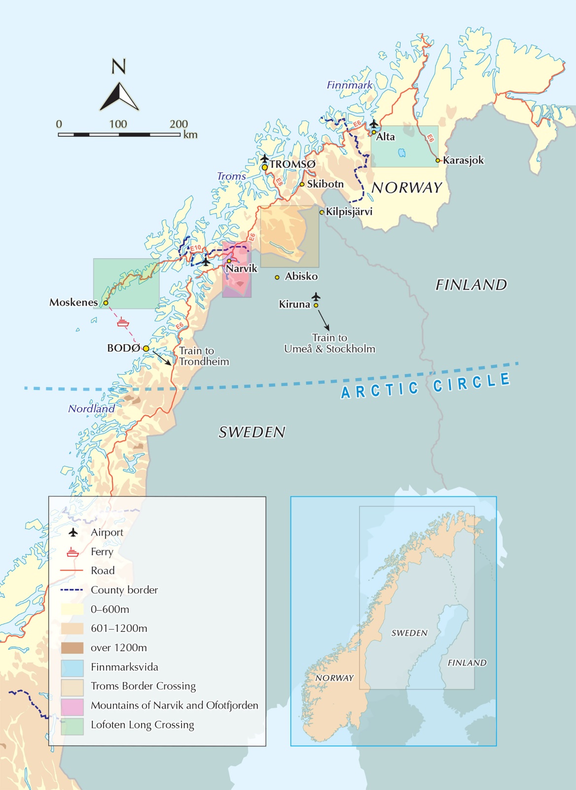
The Lofoten Long Crossing through Lofoten’s mountain and island landscapes
The Mountains of Narvik around the northern Norwegian town of Narvik
The Mountains of Ofotfjorden above the dramatic Ofotfjord
The Troms Border Trail through the remote borderlands of Troms
Finnmarksvidda across one of Europe’s largest mountain plateaus
The routes are mainly linear, but several include alternative stages or options for adjusting the distance and itinerary.
Maps, GPX files and stage descriptions
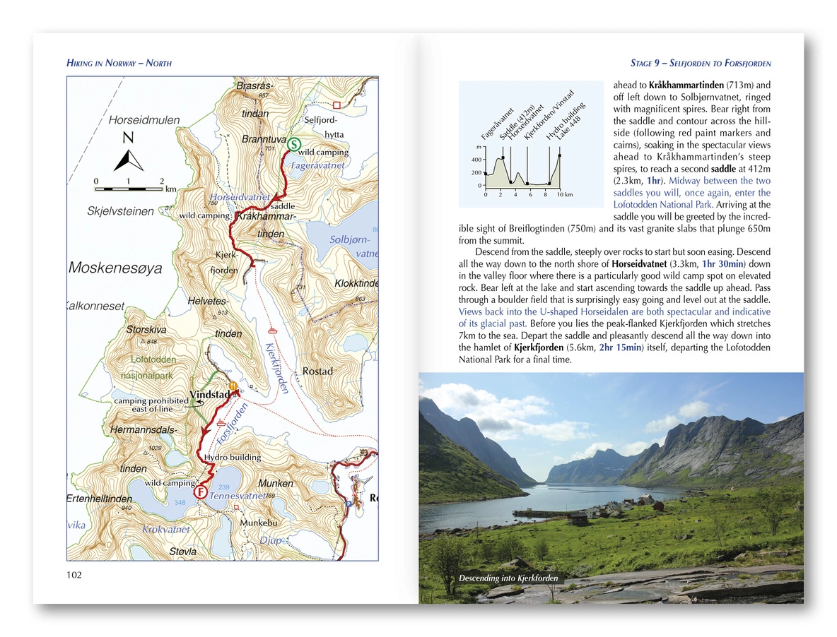
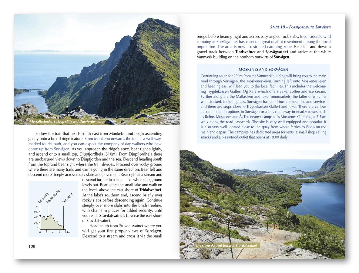
Each trek is divided into manageable daily stages with detailed route descriptions and 1:100,000 maps. The book also contains 1:500,000 overview maps, route summaries, stage-planning information and access to downloadable GPX files for GPS devices or smartphones.
The guide provides practical information about reaching and leaving the routes by public transport, including buses and ferries. It also contains listings for Norwegian Trekking Association huts, campsites, facilities and wild-camping opportunities along the way.
For experienced hikers
The routes cross mountains, fjords, islands, tundra and remote wilderness. They are best suited to experienced hikers and backpackers with good fitness, strong navigation skills and experience of changeable weather and challenging terrain.
Snow can remain at higher elevations well into summer, and some stages cross remote areas with few facilities. Careful planning, suitable equipment and the ability to navigate independently are therefore essential.
Midnight sun and a short hiking season
The recommended hiking season is generally from early June to mid-September, although conditions vary according to snow cover, elevation and weather. From mid-May to mid-July, much of the region experiences the midnight sun and continuous daylight.
Product details
Full title: Hiking in Norway – North: Trekking Above the Arctic Circle
Area: Northern Norway, above the Arctic Circle
Regions covered: Lofoten, Narvik, Ofotfjorden, Troms and Finnmarksvidda
Number of treks: 5 multi-day routes
Duration: 4–10 days per trek
Distance: 48–165km per trek
Terrain: Mountains, fjords, islands, tundra and wilderness
Mapping: 1:100,000 route maps and 1:500,000 overview maps
Additional content: Stage information, accommodation listings and downloadable GPX files
Publisher: Cicerone
Author: Mike Laing
Edition: First edition, 2024
Pages: 248
Language: English
ISBN: 9781786310958