Description
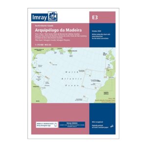
This overview chart from Imray covers the Madeira archipelago, including Madeira, Porto Santo and the Desertas Islands, and is designed for sailors navigating the North Atlantic. It provides a clear and concise representation of the archipelago and its strategic location on the sailing routes between Europe, Africa and the Caribbean.
Imray has a long tradition of creating charts specifically for leisure boats and long-distance sailing, with a focus on good readability, clear cartography and practical navigation information. This chart is ideal for overall route planning, assessing sea crossings and as a reference chart when calling at the Madeira region.
Printed on durable, water-resistant paper, the map withstands use in maritime environments. A solid choice for sailors planning a stopover in Madeira, or who want a reliable overview chart for sailing in the eastern North Atlantic.