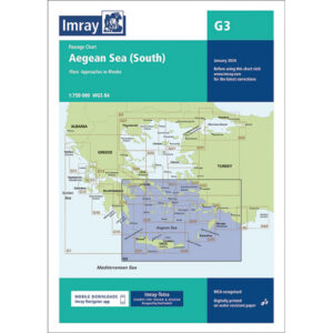
Description
This boating map covers the southern Aegean Sea in Greece, an area known for its open stretches of sea, archipelagos and good sailing conditions. The map provides a clear overview of the waters, sailing routes and key navigation points for both planning and executing a sailing trip.
Detailed coverage of key areas
The map includes, among other things, detailed approaches to Rhodes, with separate plans for port areas and coastal waters. This provides good support for port calls and navigation in more complex areas.
Developed for cruising in the Aegean Sea
Developed specifically for leisure sailors, Imray charts combine official chart data with practical information gathered by experienced sailors. This results in a more user-friendly chart focusing on anchorages, ports and local conditions that are important for cruising.
Updated and robust chart for shipboard use
This edition has been updated with the latest available chart data, including updated depth data and general revision. The chart is printed on water-resistant paper and comes in a convenient format that can withstand use in maritime environments.