Description
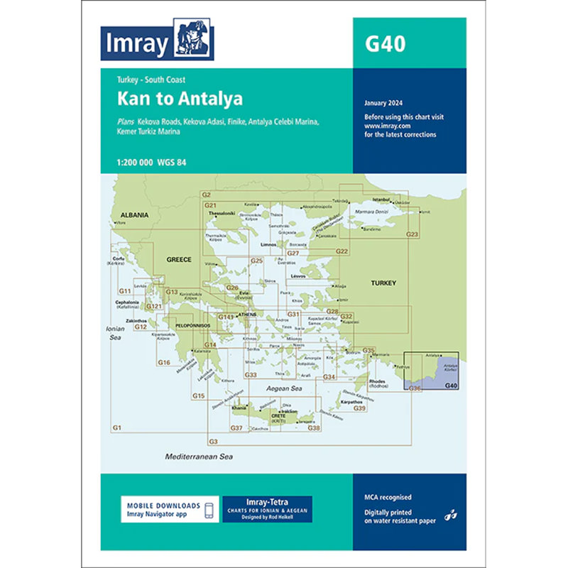
This boating map covers the coastal stretch from Kaş to Antalya along the south coast of Turkey, an area known for its clear waters, sheltered coves and good sailing conditions. The map provides a detailed overview of the waters, harbors and anchorages, and is well suited for both planning and navigation along the way.
Detailed coverage of coast and ports
The map includes detailed plans for Kekova Roads, Kekova Adasi, Finike, Antalya and Kemer, with a focus on approaches, port conditions and anchorage areas. This provides good support for navigation in both open and more complex waters.
Designed for cruising the Mediterranean
Developed specifically for leisure sailors, Imray charts combine official chart data with practical information gathered by experienced sailors. This provides useful insights into local conditions, anchorages and facilities that are often not included in traditional nautical charts.
Updated and robust chart for use on board
The chart is updated with available depth data and includes information on harbor depth and modern navigation aids. It is printed on durable, water-resistant paper and comes in a practical format that can withstand use in maritime environments.