Description
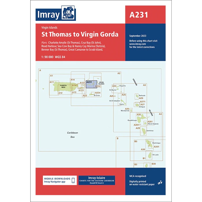
This boating chart from Imray covers the sailing area between St Thomas and Virgin Gorda in the Virgin Islands. Designed for coastal navigation and inter-island sailing, the chart provides a good combination of overview and detail for this central area of the US and British Virgin Islands.
The chart shows coastlines, depths and key sailing areas, and includes detailed plans of key harbors, bays and anchorages, including around St Thomas, St John, Tortola and Virgin Gorda. It is ideal for leisure boats and sailboats traveling in the Virgin Islands, both for active navigation and for planning routes and calls.
Imray is a renowned British manufacturer of nautical charts, known for its easy-to-use boating charts designed specifically for practical sailing and cruising in international waters.