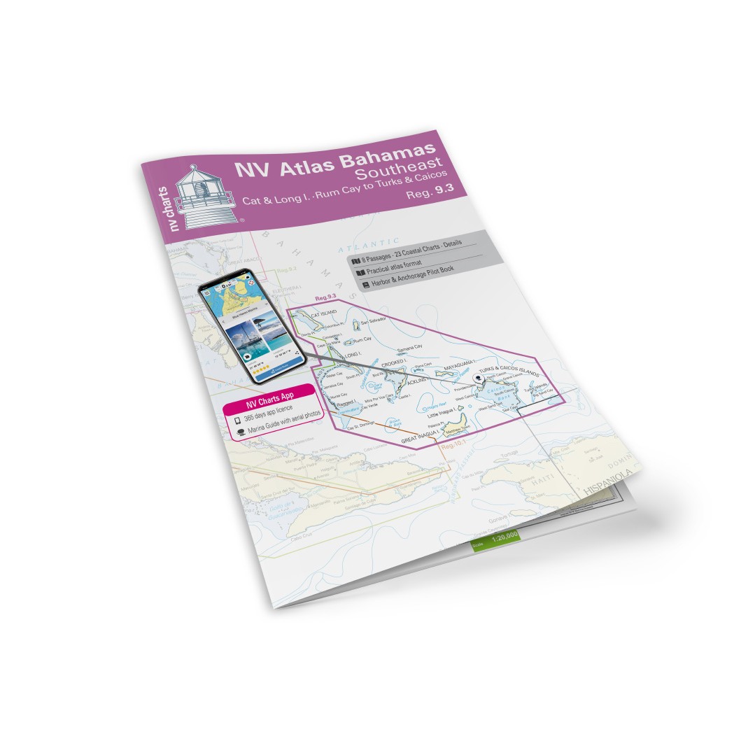
Description
NV Charts Bahamas 9.3 Cat Island-Long Island-Rum Cay-Turks & Caicos is a comprehensive chart package of paper and digital nautical charts covering the southern Bahamas and beyond to the Turks & Caicos Islands. The charts provide detailed navigational information on water conditions, inlets, coral reefs, channels, harbors, anchorages and sailing routes in this popular Caribbean area.
The chart set comes in atlas format with clear and user-friendly cartography, combined with digital access via the NV Charts app and PC/Mac. The digital charts can be used offline, so you have access to up-to-date and accurate navigation data both when planning and sailing.
Characteristics
Paper maps in atlas format with a high level of detail and good overview.
Digital access via the NV Charts app with offline use.
Detailed navigation information for Cat Island, Long Island, Rum Cay and the Turks & Caicos area.
Port plans and mooring options for islands, bays and passages along the route.
Map overview
The chart set covers the stretch from Cat Island and Long Island, via Rum Cay, and further southeast to the Turks & Caicos Islands. The charts have levels to support both local coastal sailing, transitions between island groups and long distance sailing in this part of the Caribbean.
Updates
Always delivered in the latest available edition from NV Charts. If a new and updated edition is launched within 30 days of purchase, the map can be exchanged for a new edition free of charge.
EAN / ISBN
9783945902543