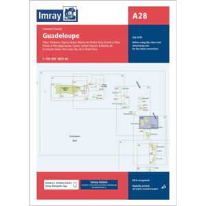
Description
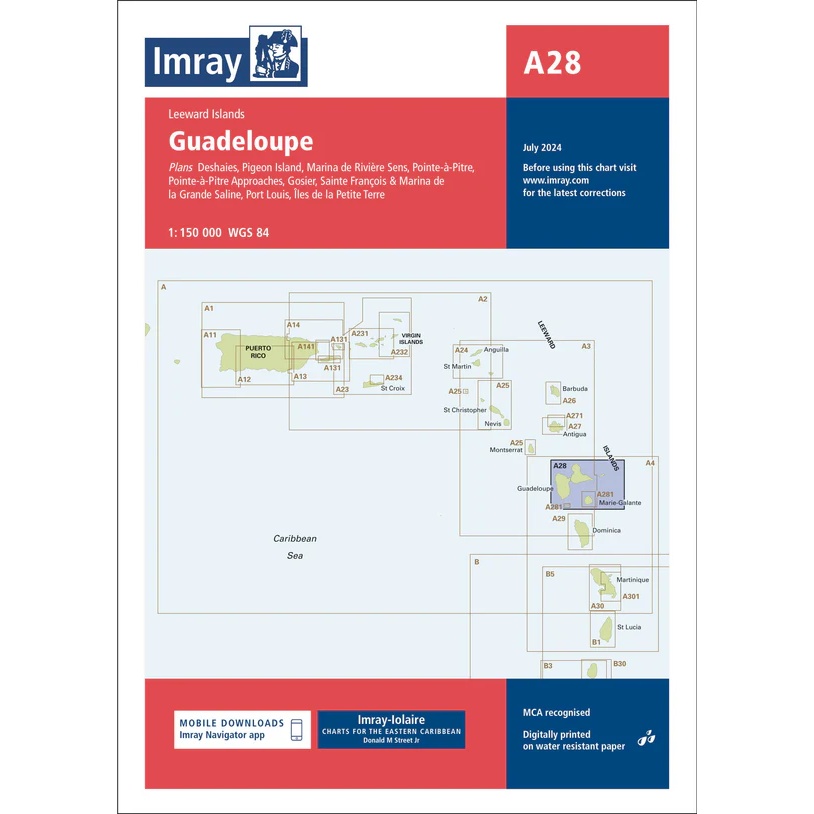
This boating chart from Imray covers the island of Guadeloupe and associated waters in the Leeward Islands. The chart is designed for coastal navigation and provides a good overview of the coastline, depth conditions and key sailing areas around the archipelago.
The map contains plans of selected harbors, bays and anchorages, and is well-suited for leisure boats and sailboats traveling around Guadeloupe. It serves both as a practical navigation map along the way and as a support for planning routes and calls in the area.
Imray is a renowned British manufacturer of nautical charts, known for its easy-to-use boating charts designed specifically for practical sailing and cruising in international waters.