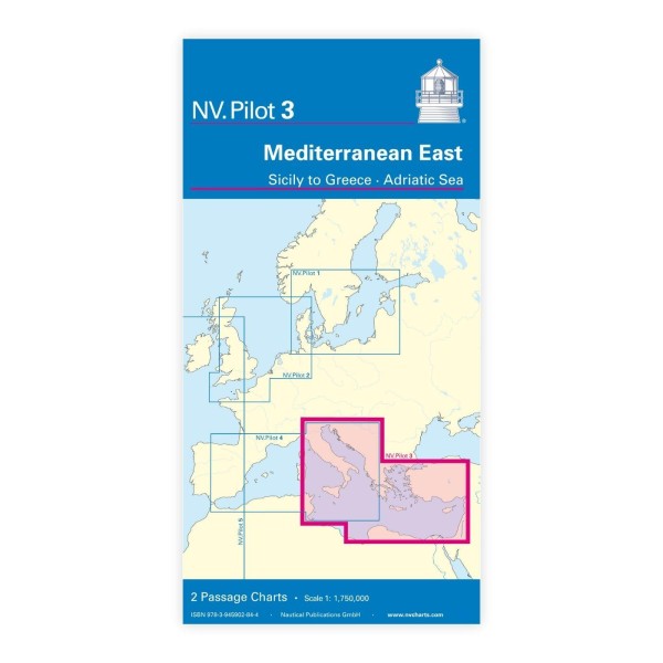
Description
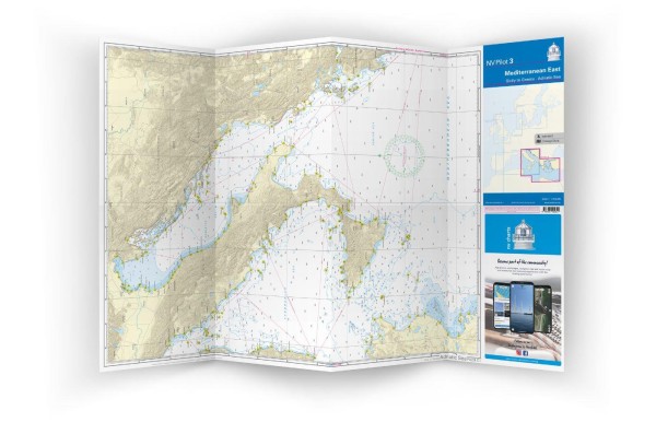
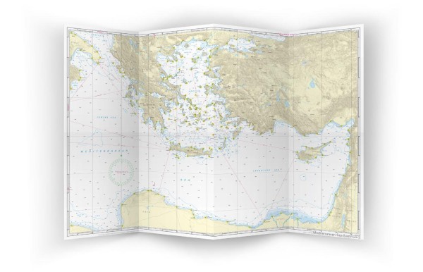
NV Charts Pilot 3 Mediterranean East is a large planning chart for the Eastern Mediterranean, covering the sailing areas from Sicily in the west via the Ionian Sea towards Greece and further north through the Adriatic Sea. The chart is specifically designed for long distance sailing and clear planning of longer legs on the high seas, showing key sailing routes, ports, lighthouses and fairway details over large distances.
Published in a large A1 format that folds down to a convenient size for the chart table, this planning chart provides a good overview of sailing opportunities in the eastern regions of the Mediterranean. In addition, relevant information on wind directions, ocean currents and navigation explanations are included, which are useful for route planning over longer distances in the area.
Features
Easy-to-handle planning charts in A1 format.
Detailed overview of the Eastern Mediterranean with sailing routes and navigation details.
Information on wind, current and local conditions for strategic planning.
Application
Ideal for planning long-distance voyages in the Eastern Mediterranean, including voyages from Sicily via Greece to the Adriatic Sea, or as an overview map before detailed planning with local nautical charts.
Updates
Always delivered in the latest available edition. If a new and updated edition is launched within 30 days of purchase, the map can be exchanged for a new edition free of charge.
EAN / ISBN
9783945902844