Description
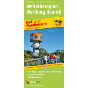
This cycling and hiking map covers the Welterberegion Wartburg Hainich in Thuringia and is designed for active exploration on foot and by bike. The map provides a detailed and clear presentation of cycling and hiking routes in one of Germany’s most distinctive natural areas and is suitable for both planning and use in the field.
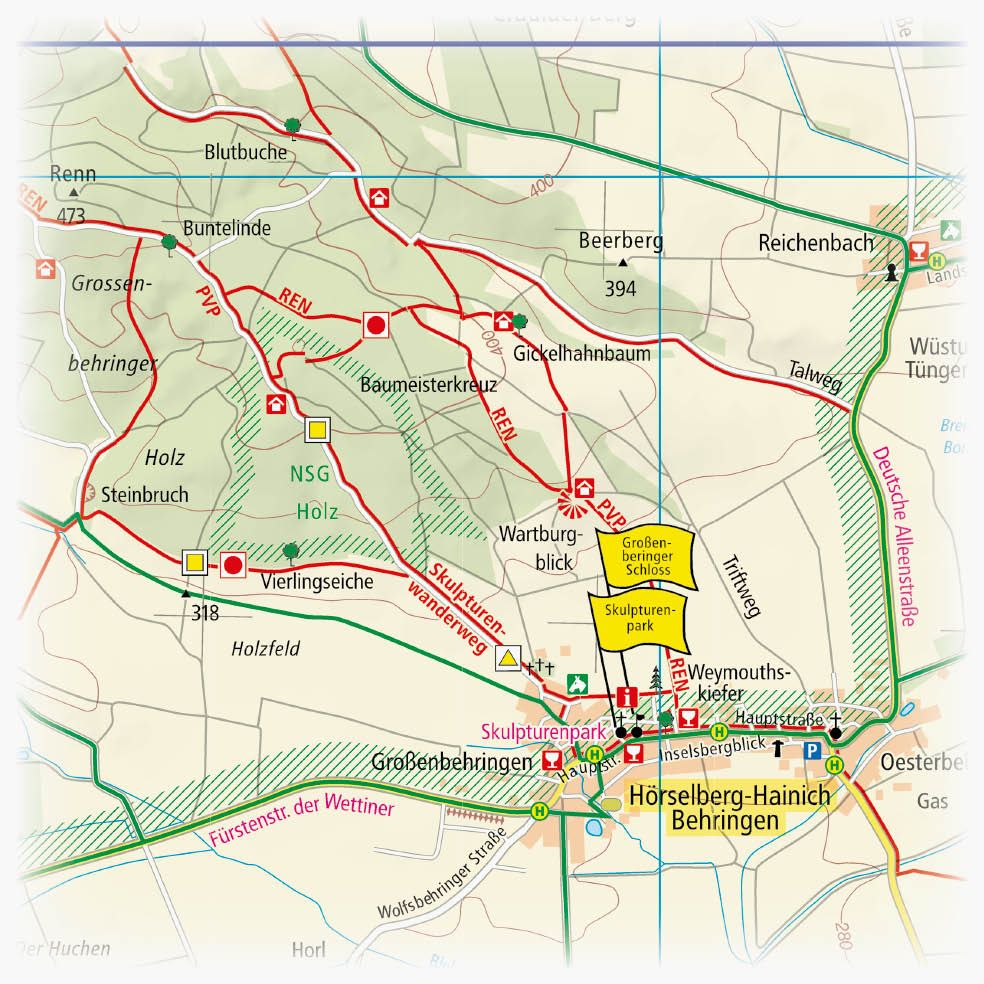
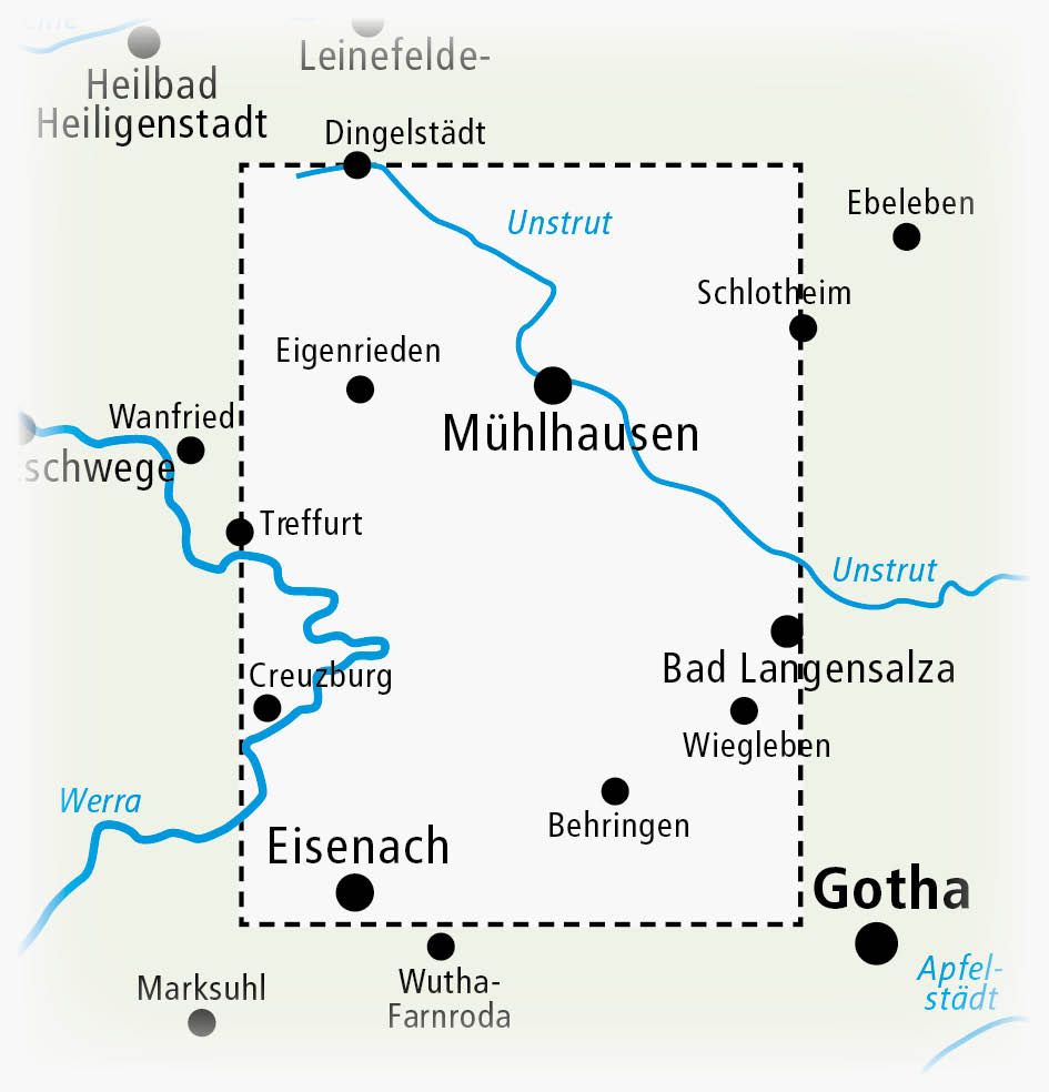
The area includes parts of the Hainich National Park, one of the largest contiguous deciduous forests in Europe and a UNESCO World Heritage Site. The map shows a dense network of local and regional cycling and hiking routes linking natural areas, towns and sights. Routes to Eisenach, Bad Langensalza, Eichsfeld and along the rivers Unstrut and Werra are clearly marked.
On the map’s information page, selected excursion destinations and highlights are collected, including the famous treetop trail in Hainich, which offers spectacular views from above the treetops. The map is printed on durable material that is both water and tear resistant, and can be wiped clean after use. It is therefore well suited for active use in all weathers.
The map is in German, but can easily be used by travelers with no knowledge of German. Road, cycling and hiking maps are mainly based on symbols, route markings and place names, providing quick and intuitive orientation regardless of language.
The product is released in 2015.