Description
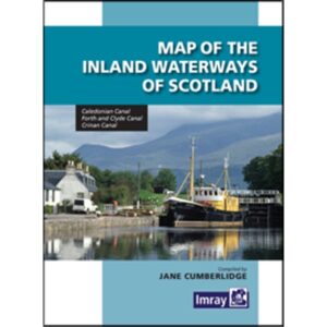
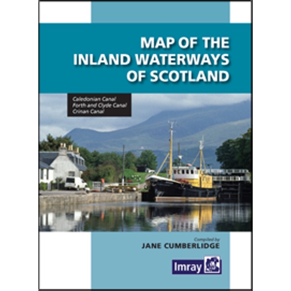
The Map of the Inland Waterways of Scotland is an overview map showing Scotland’s main inland waterways and canal links. The map covers the Caledonian Canal, Crinan Canal, Forth & Clyde Canal and Union Canal, among others, and gives a clear picture of how these routes are connected.
The publication is designed for recreational boaters and canal users traveling on Scottish inland waterways and serves as a useful pre-sailing planning tool. The map provides a quick overview of connections, geographical extent and main routes, and is often used in combination with more detailed canal guides and port books.
The map is suitable both for practical use on board and as a reference in planning work on land. It provides a comprehensive understanding of Scotland’s canal network and is particularly useful for those planning longer continuous voyages through multiple waterway systems.
Published by Imray, a leading publisher of nautical charts and guides for recreational sailors.