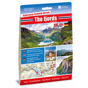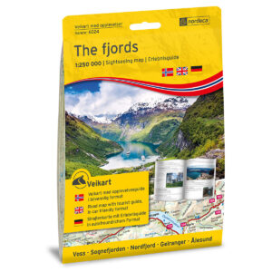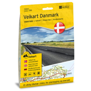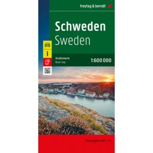

Description
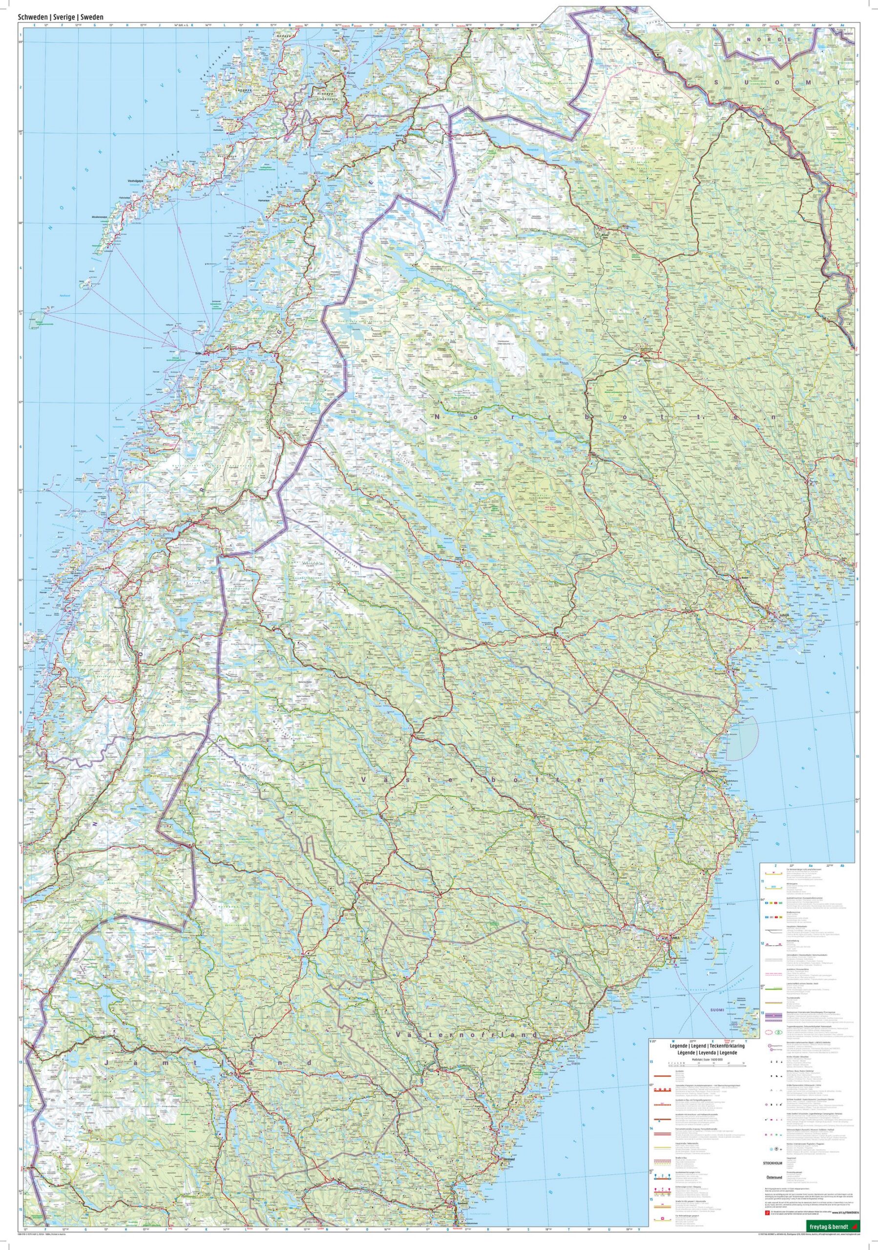
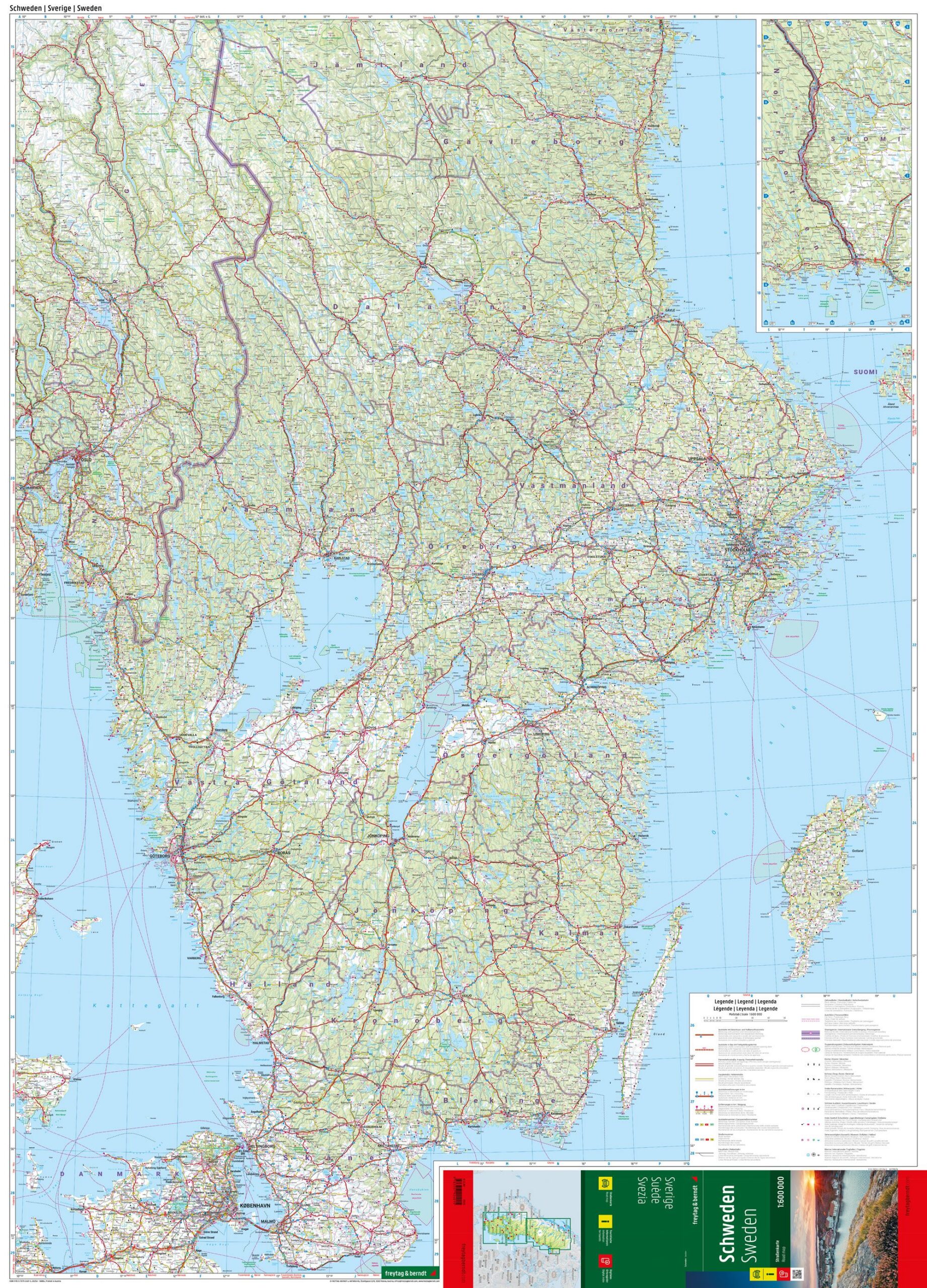
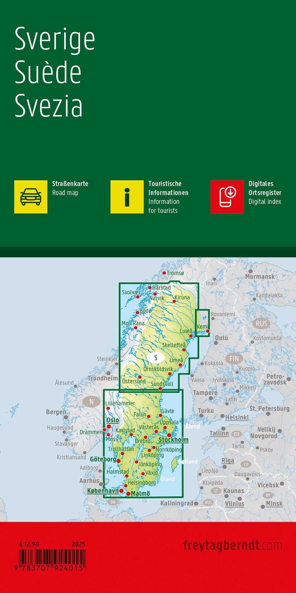
This road map covers the whole of Sweden at a scale of 1:600,000 and provides a clear and precise representation of the country’s road network. The map is well-suited for travel by car, motorcycle or campervan, and provides good support for both pre-departure planning and navigation along the way. Main roads, important side roads and connections are clearly marked, along with distances, cities and towns. The map also includes tourist information and selected points of interest, making it easier to plan stops along the route. The map is printed double-sided and provides good coverage of the entire country in one coherent map. The detailed cartography makes the map a reliable tool for travel in both southern and northern Sweden. The map is printed in Austria and is of high print and paper quality.