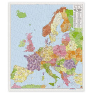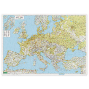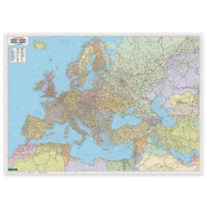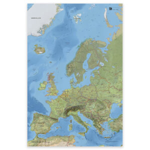
Description
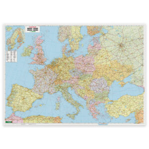
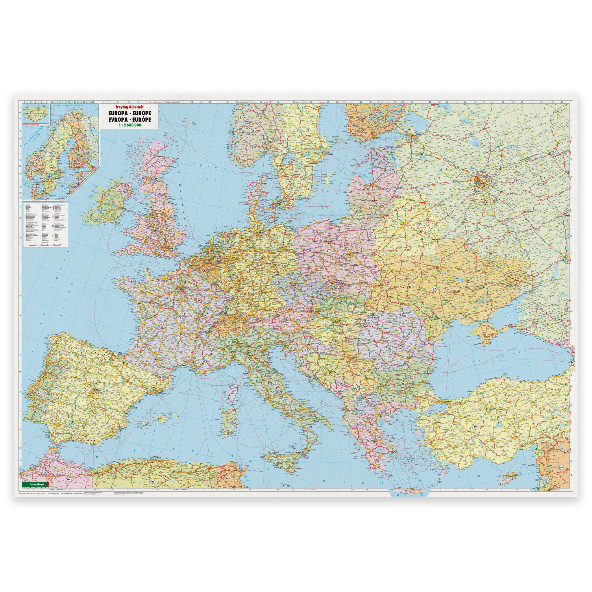
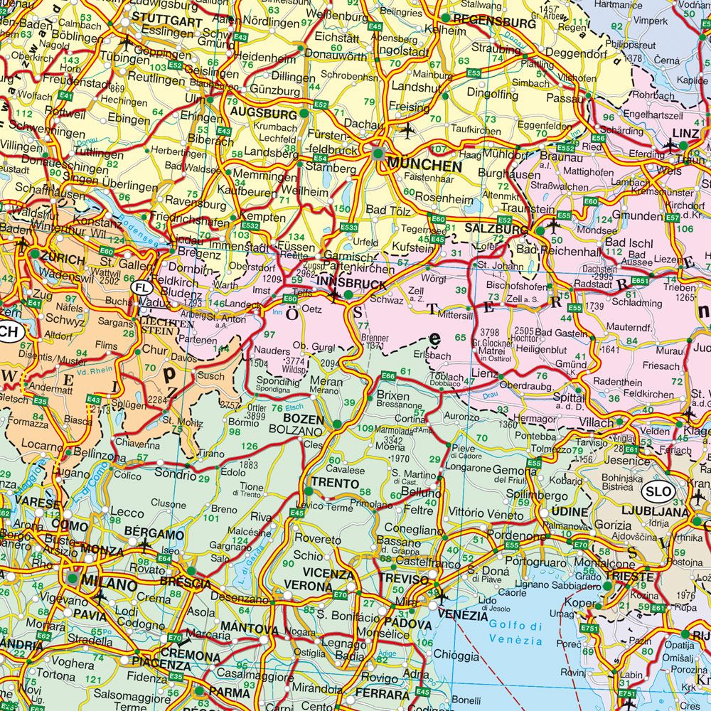
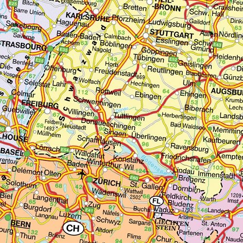
Europe – wall map large format is a large and clear political wall map of Europe at a scale of 1:2,600,000, which provides a more detailed map image than the standard edition. The larger physical format makes the map particularly suitable for wall mounting in meeting rooms, classrooms, offices and other rooms where good legibility at a distance is required.
The map shows European countries and borders, major cities and key locations, as well as main transportation routes such as highways and main thoroughfares. Distances are given in kilometers and countries are color-coded for clear visual differentiation. The map provides a good overall picture of Europe and works both as an orientation tool and as informative wall decor.
The map is published by Freytag & Berndt, a recognized European map publisher known for precise and functional cartography. This is a pre-produced map poster in fixed large format, delivered rolled in protective packaging and intended for wall mounting.
The map is released in 2020.