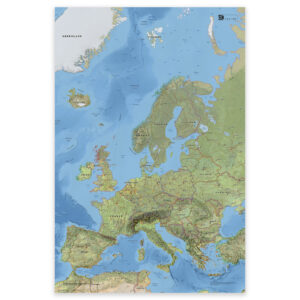
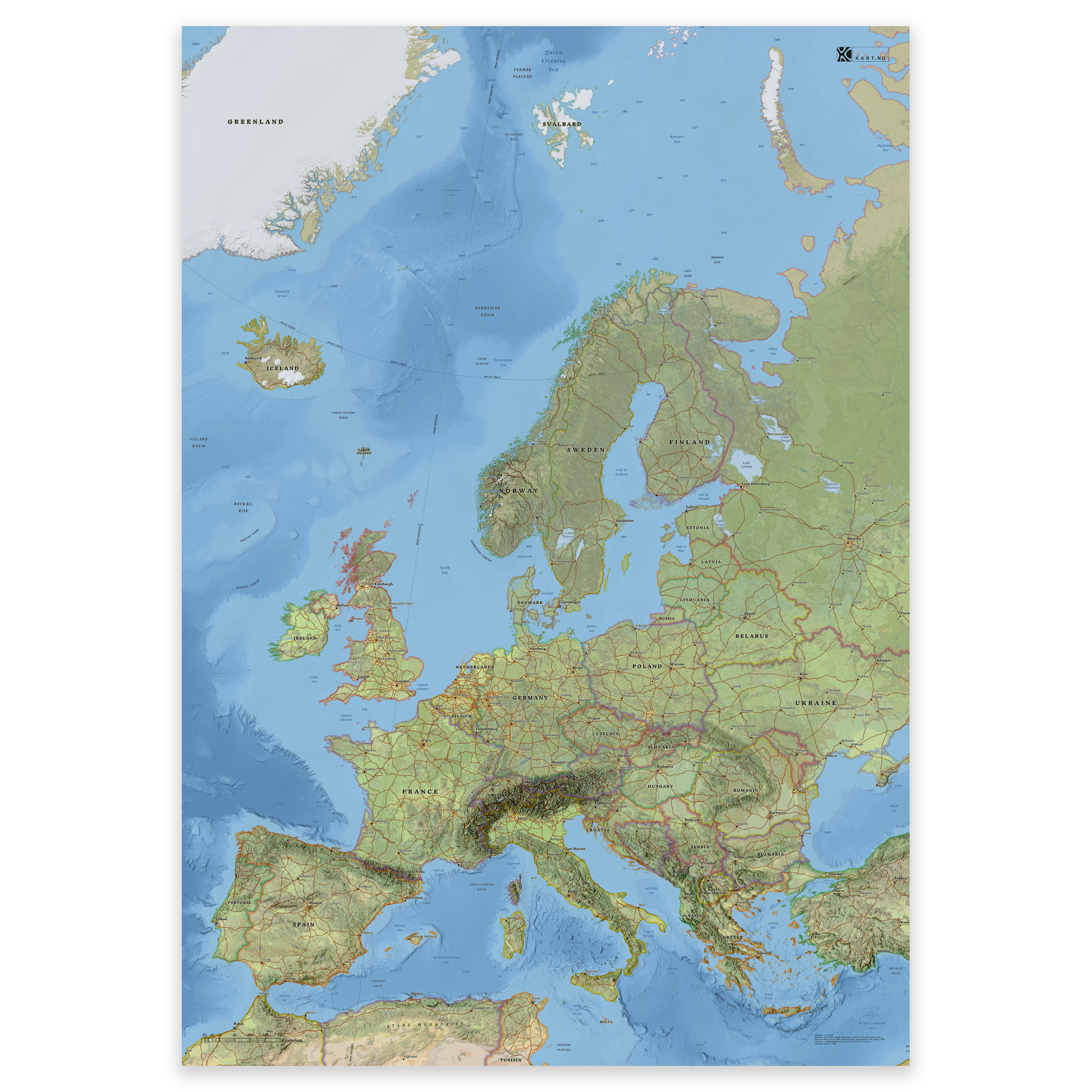
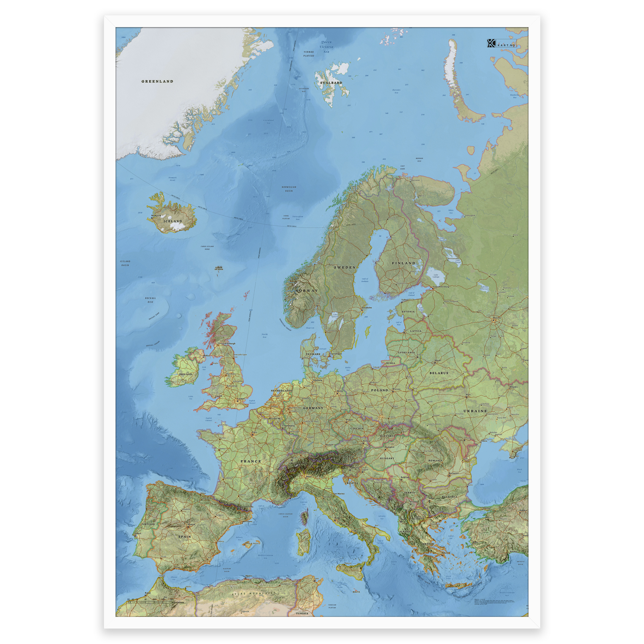
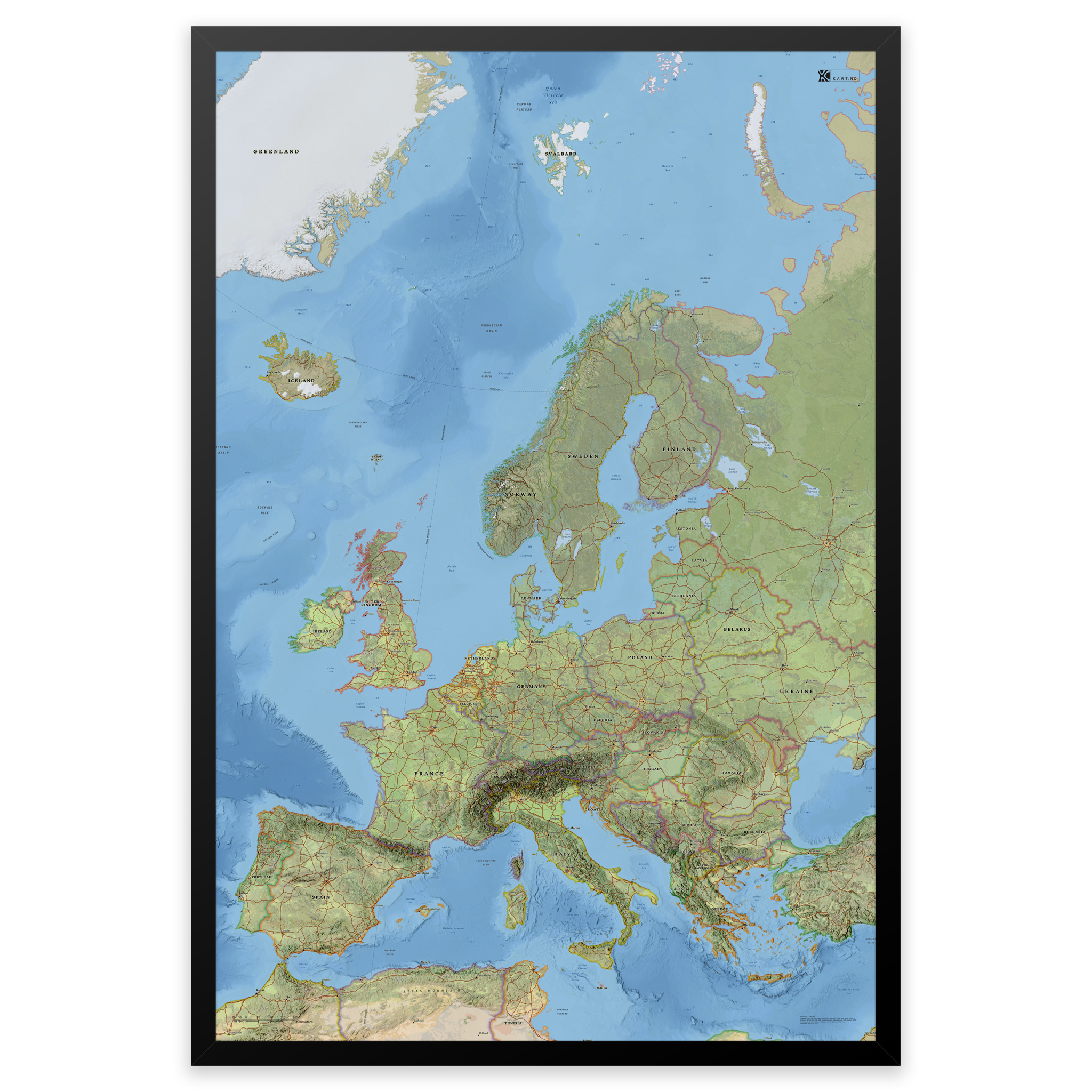
 Map of Europe with countries and capitals – classic and detailed wall map
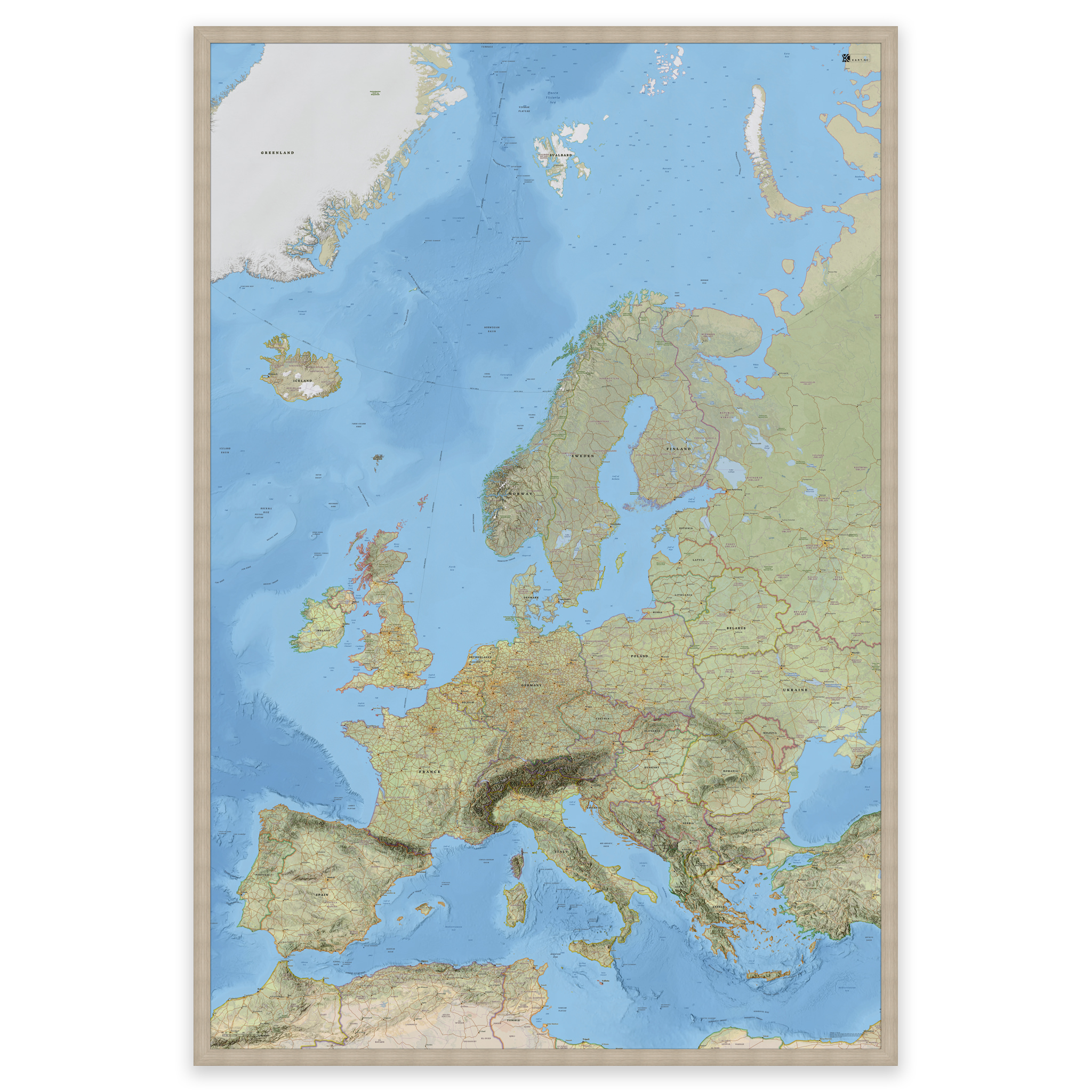
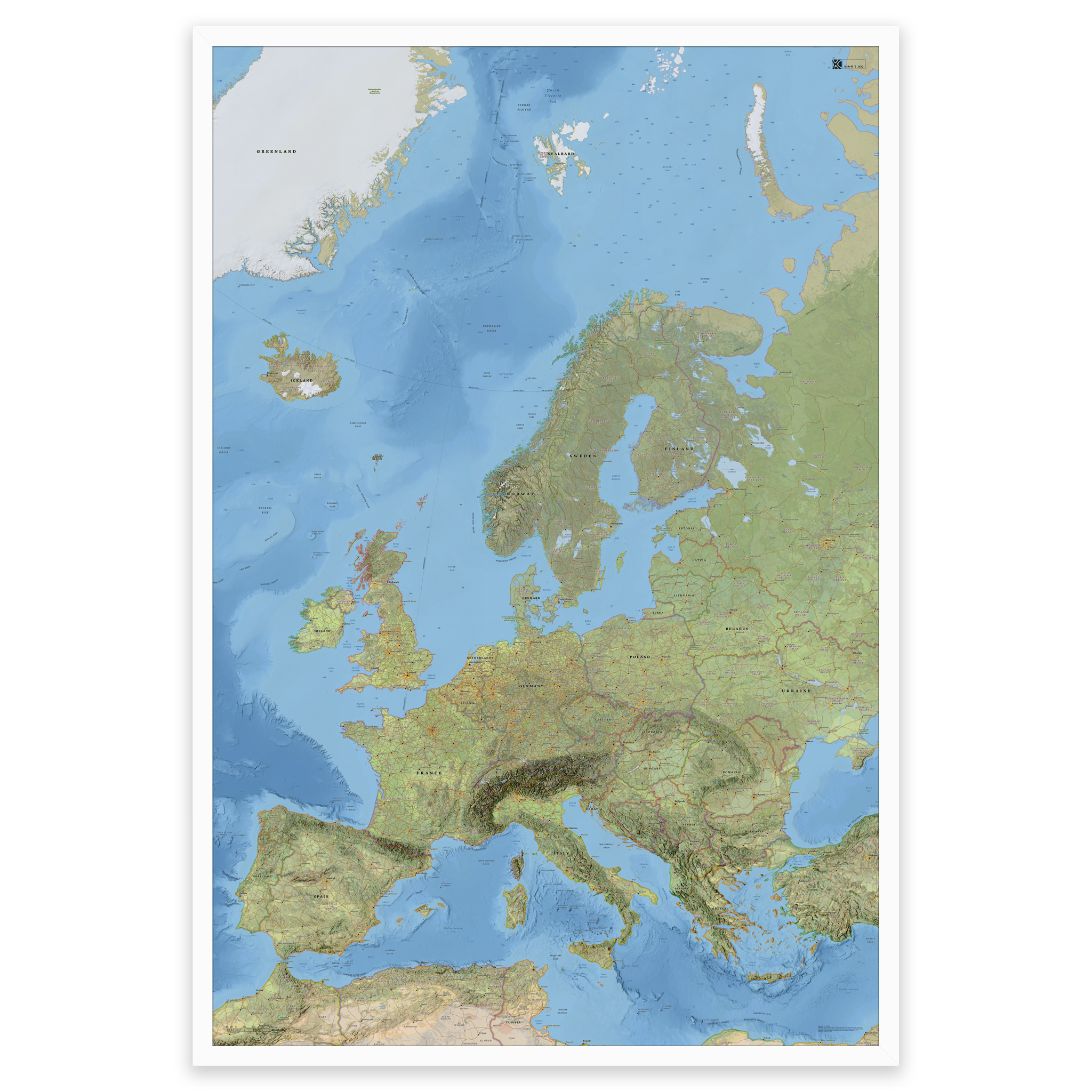
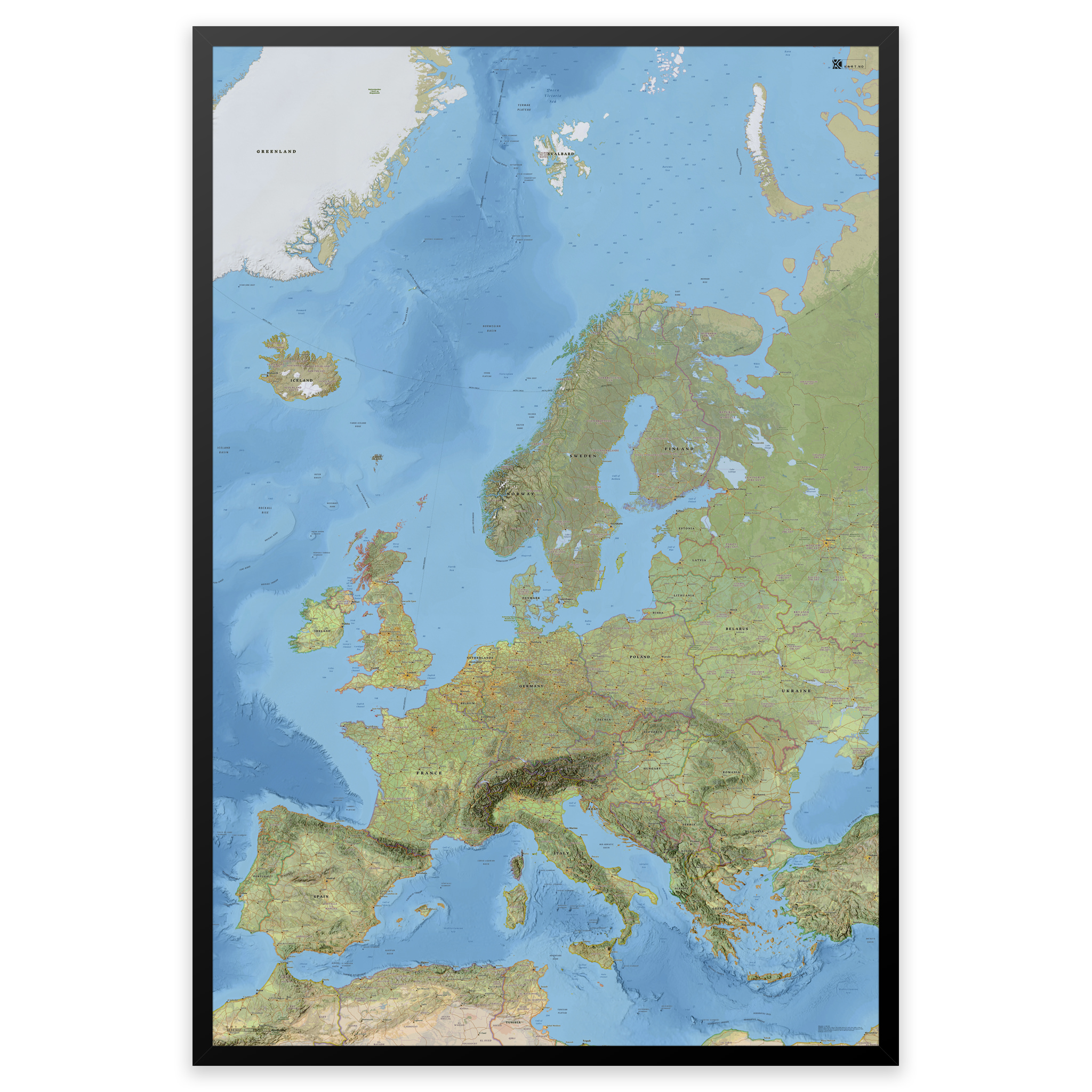
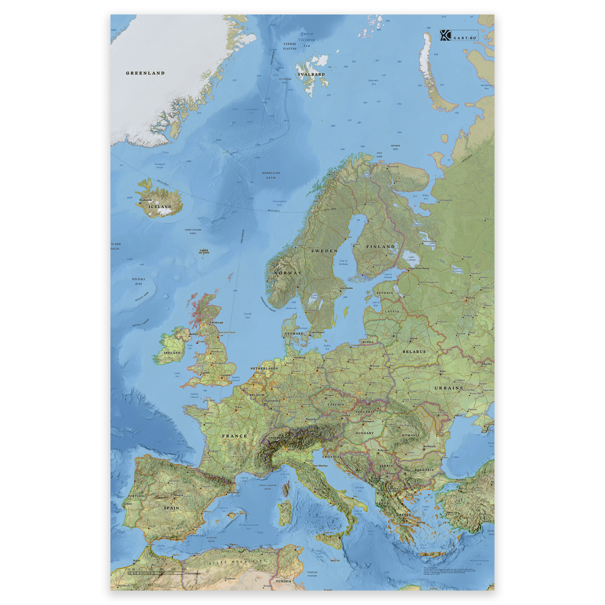
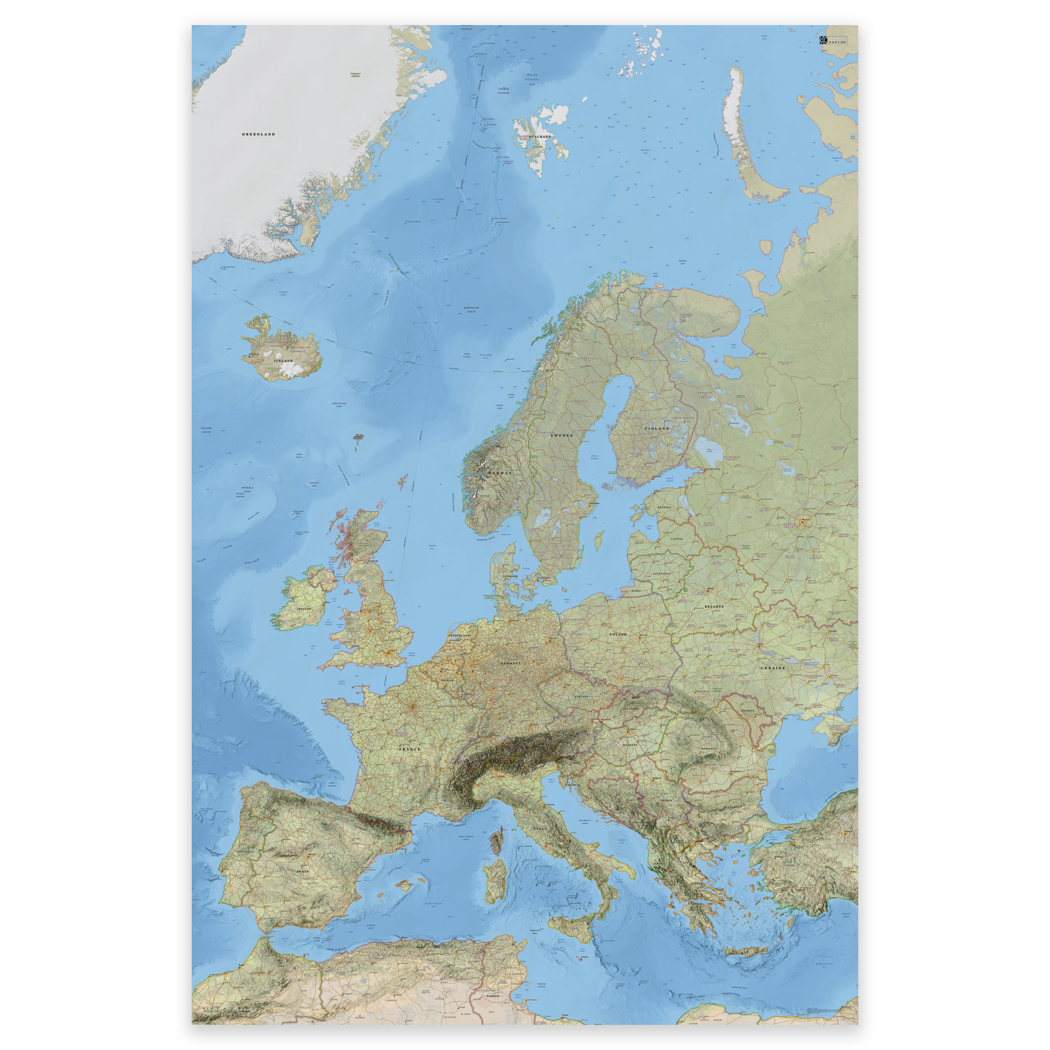
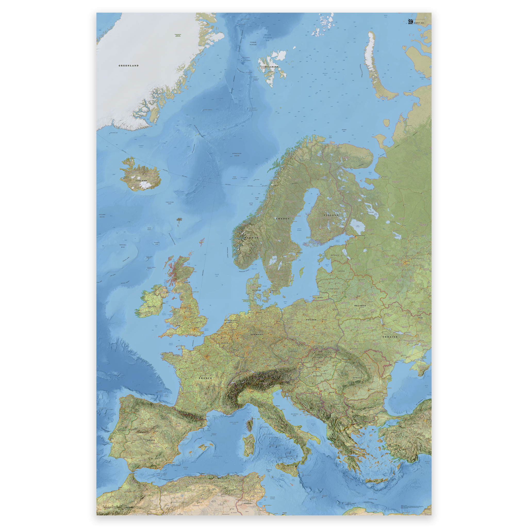

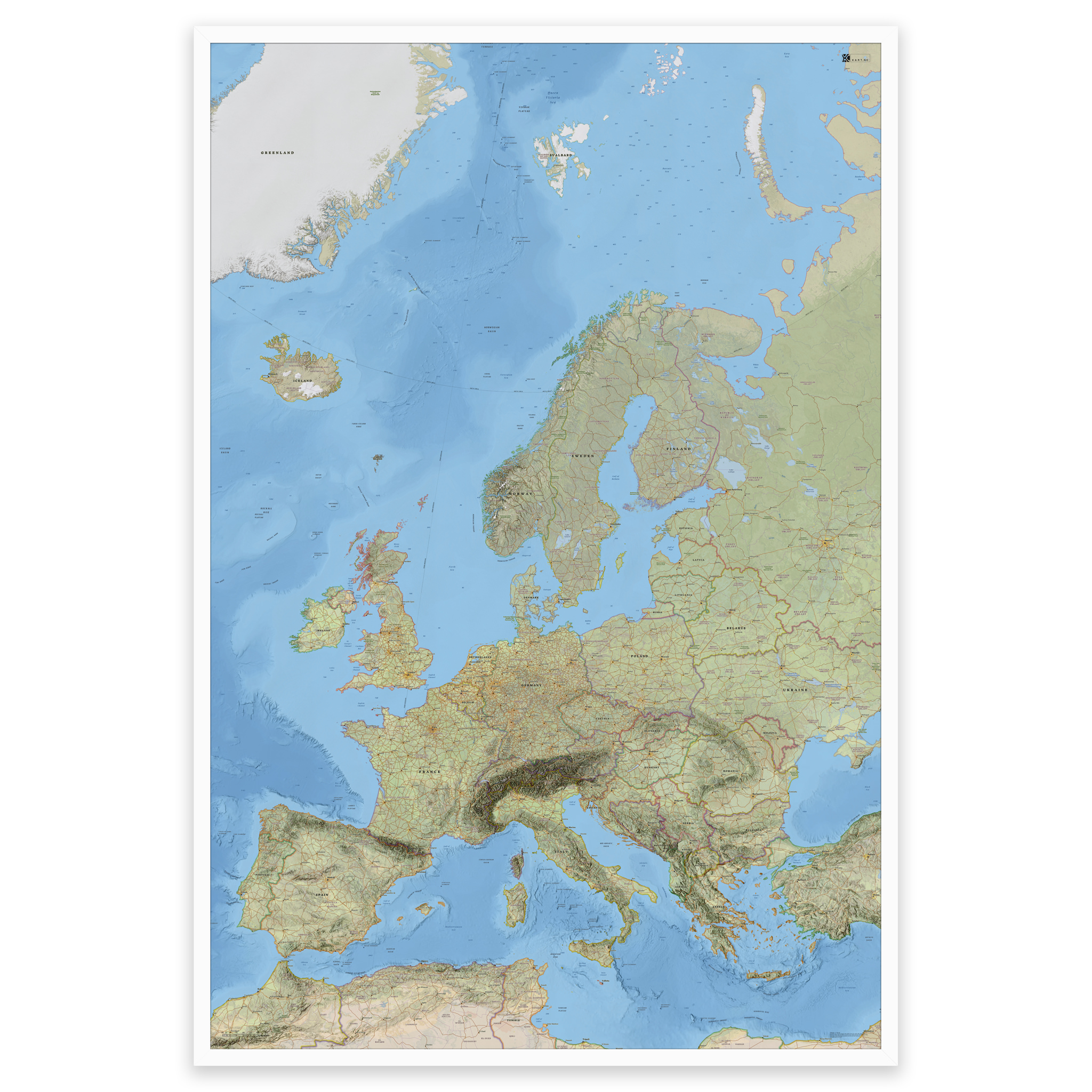


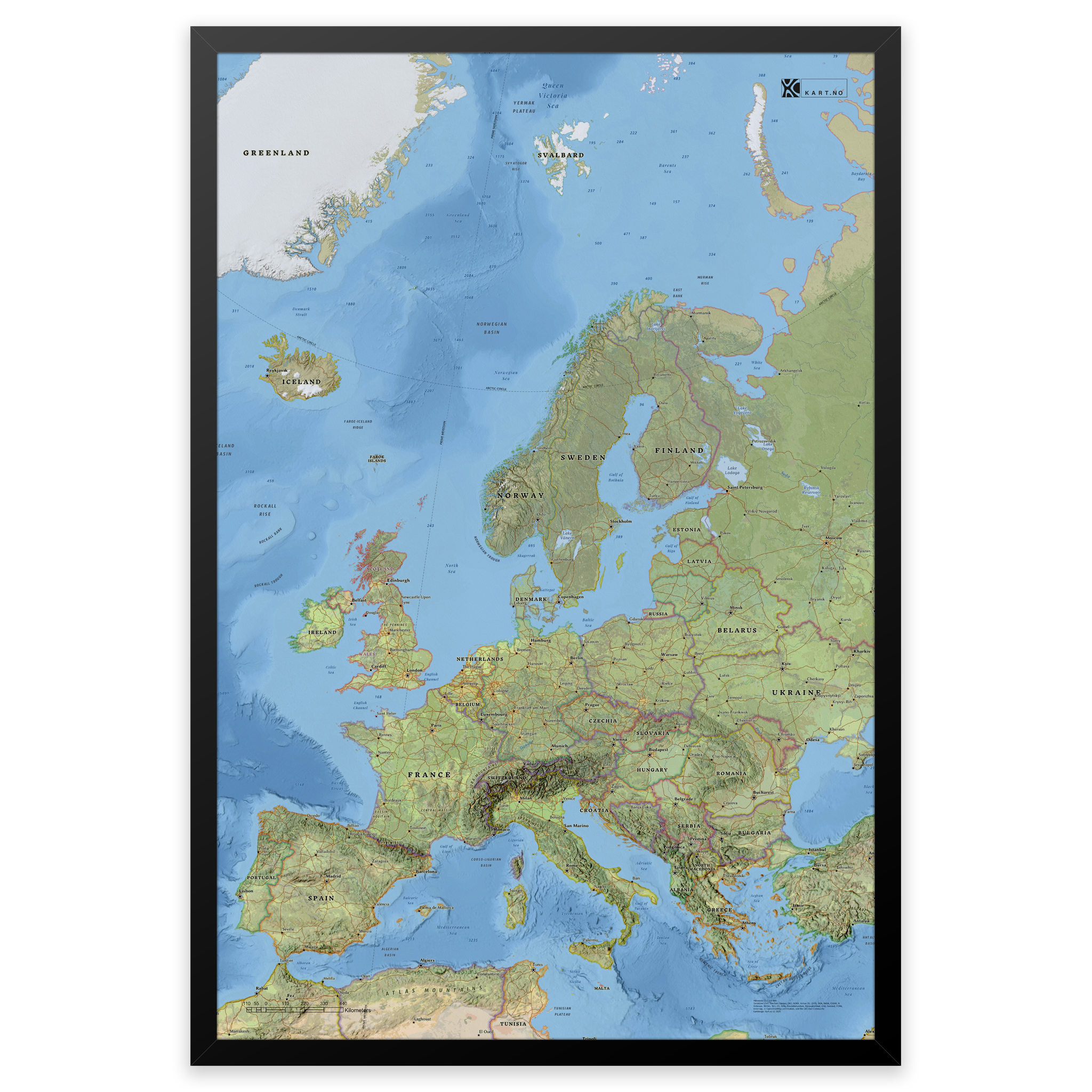
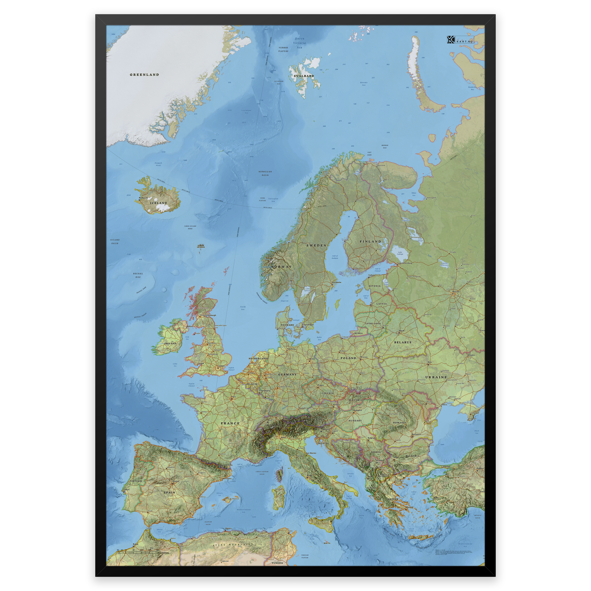
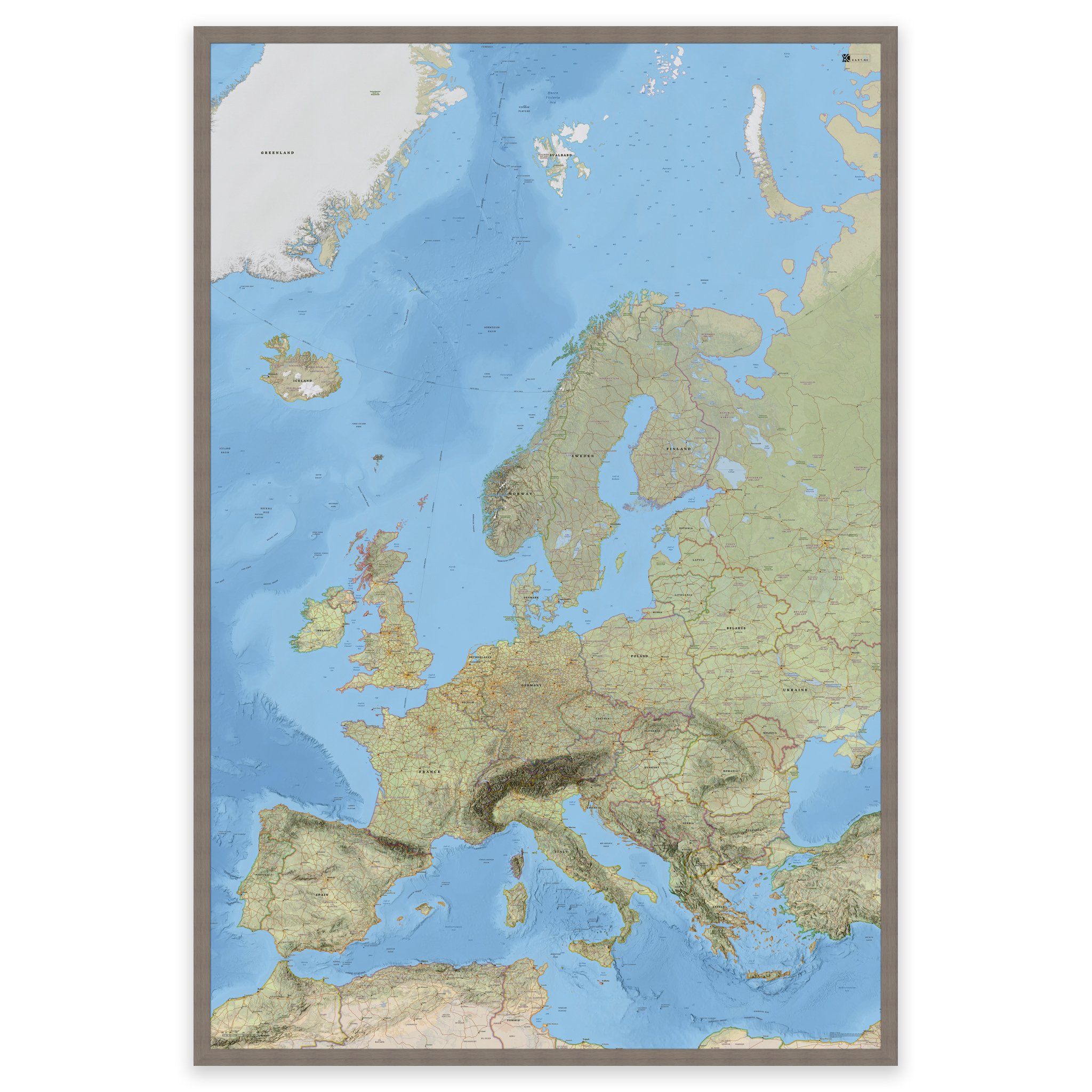
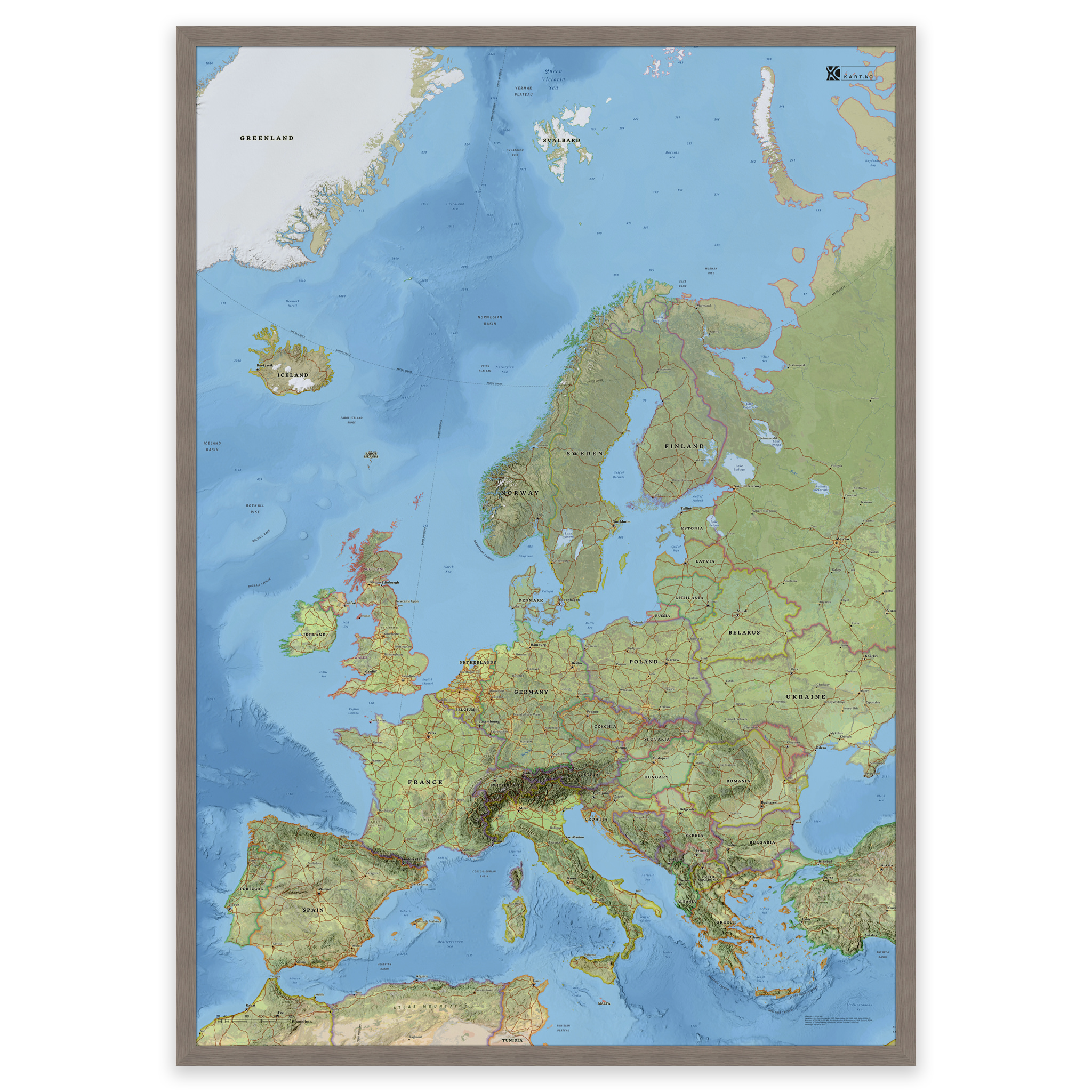
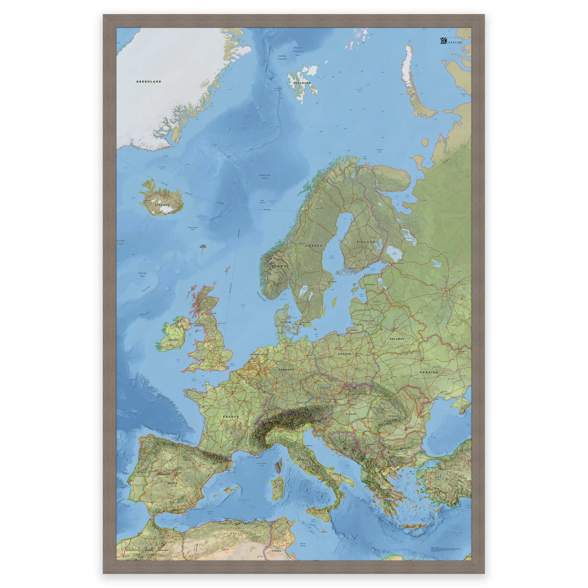
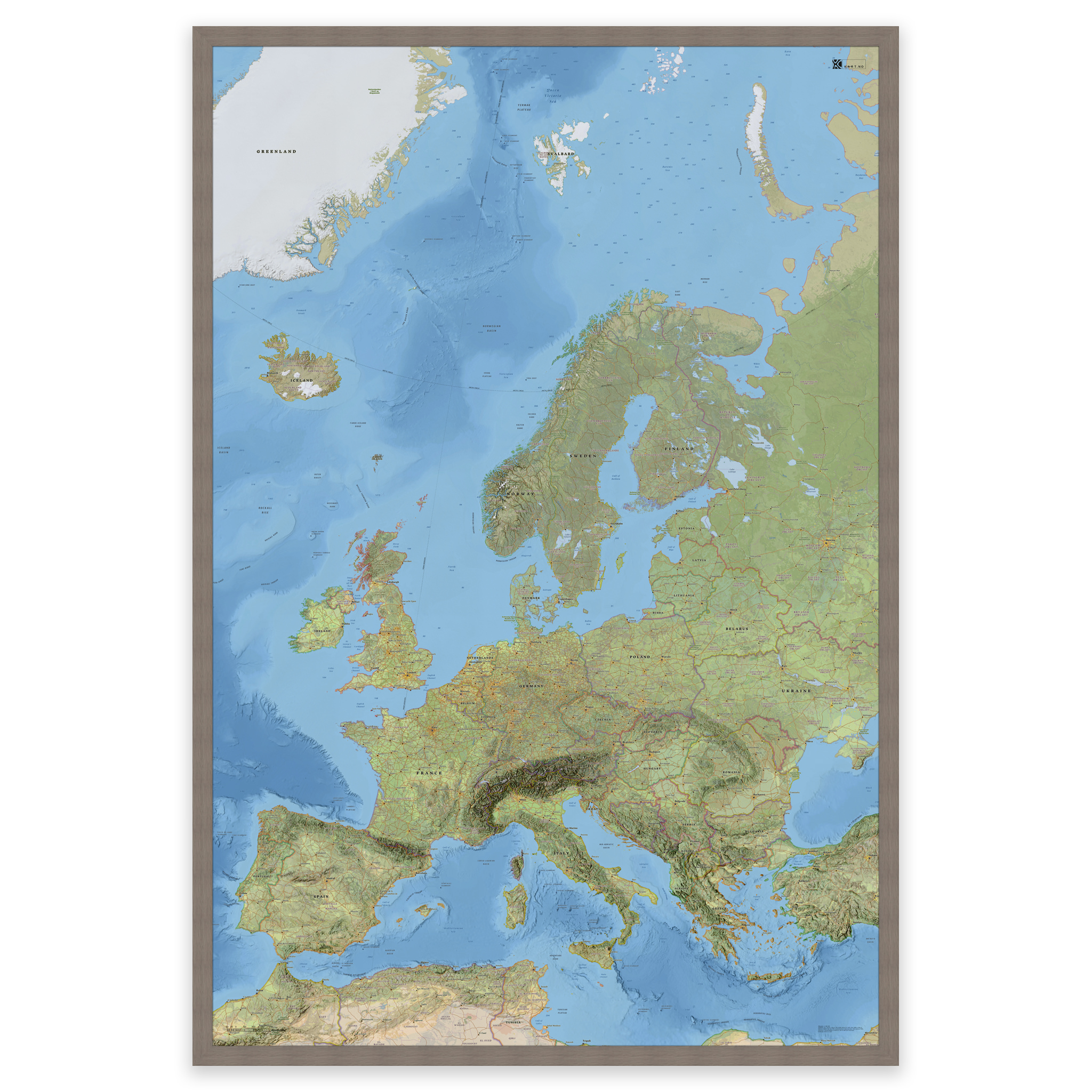
Map of Europe with countries and capitals – classic and detailed wall map
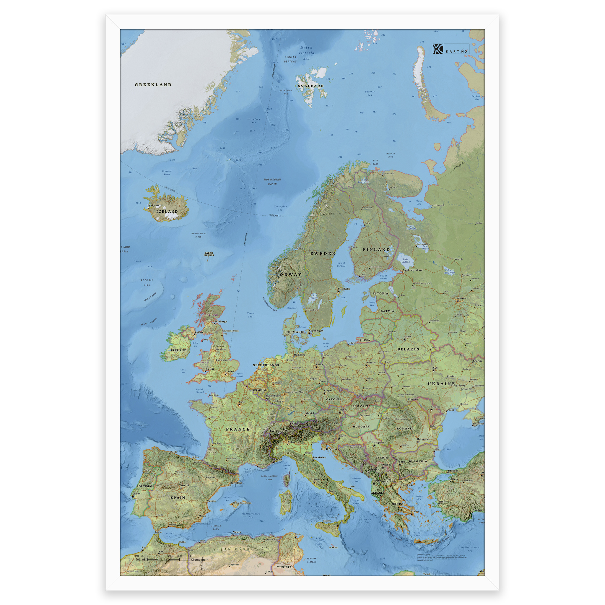
Stylish and detailed map of Europe – available in five sizes.
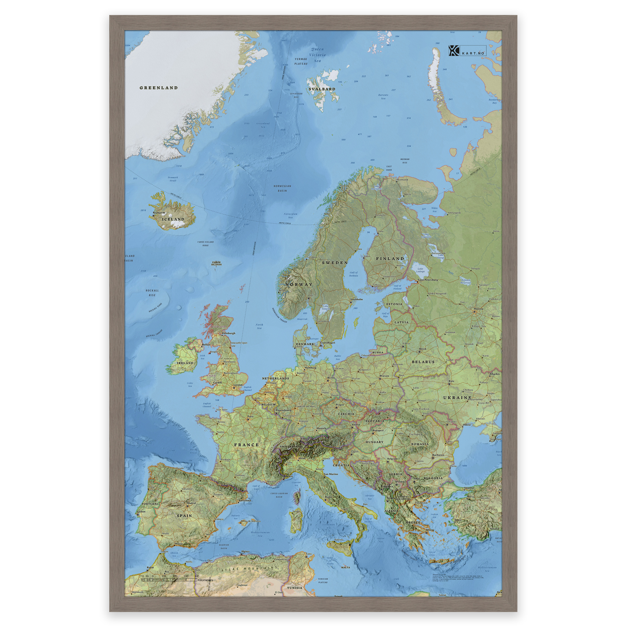
The map is designed in the same style as our world map, combining classic cartography with modern GIS technology. It shows countries, borders, cities and natural features across Europe – from Iceland in the west to the Caucasus in the east.
The map is projected in ETRS 1989 LAEA, a European area-correct projection that provides a balanced and realistic image of the continent. The map is in English and all sizes include names of countries and capitals.
Order as a poster, map on board or framed print on art paper – perfect for your home, office or classroom.
Printed with 12-color pigment inks for great detail, deep colors and long life – up to 400 years.
From 21,96 €
Related products
-
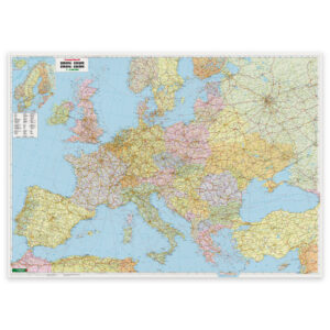
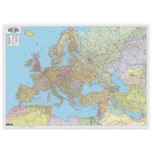
Europe Map – Political – 125 × 90 cm – Freytag & Berndt
Fra 58,40 € Select options This product has multiple variants. The options may be chosen on the product page -
In stock
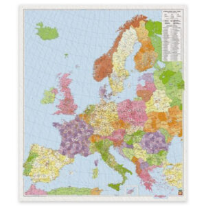
Europe – postcode map – 96 x 113 cm
51,06 € Add to cart -
Europe – Middle East – Central Asia Map – Political – 127 × 90 cm – Freytag & Berndt
Fra 58,40 € Select options This product has multiple variants. The options may be chosen on the product page -
In stock
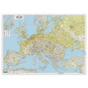
Europe Map – Physical – approx. 172 × 123 cm – Freytag & Berndt
87,78 € Add to cart