
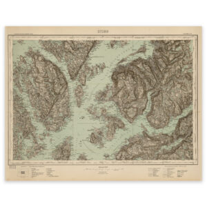
 Stord 1923
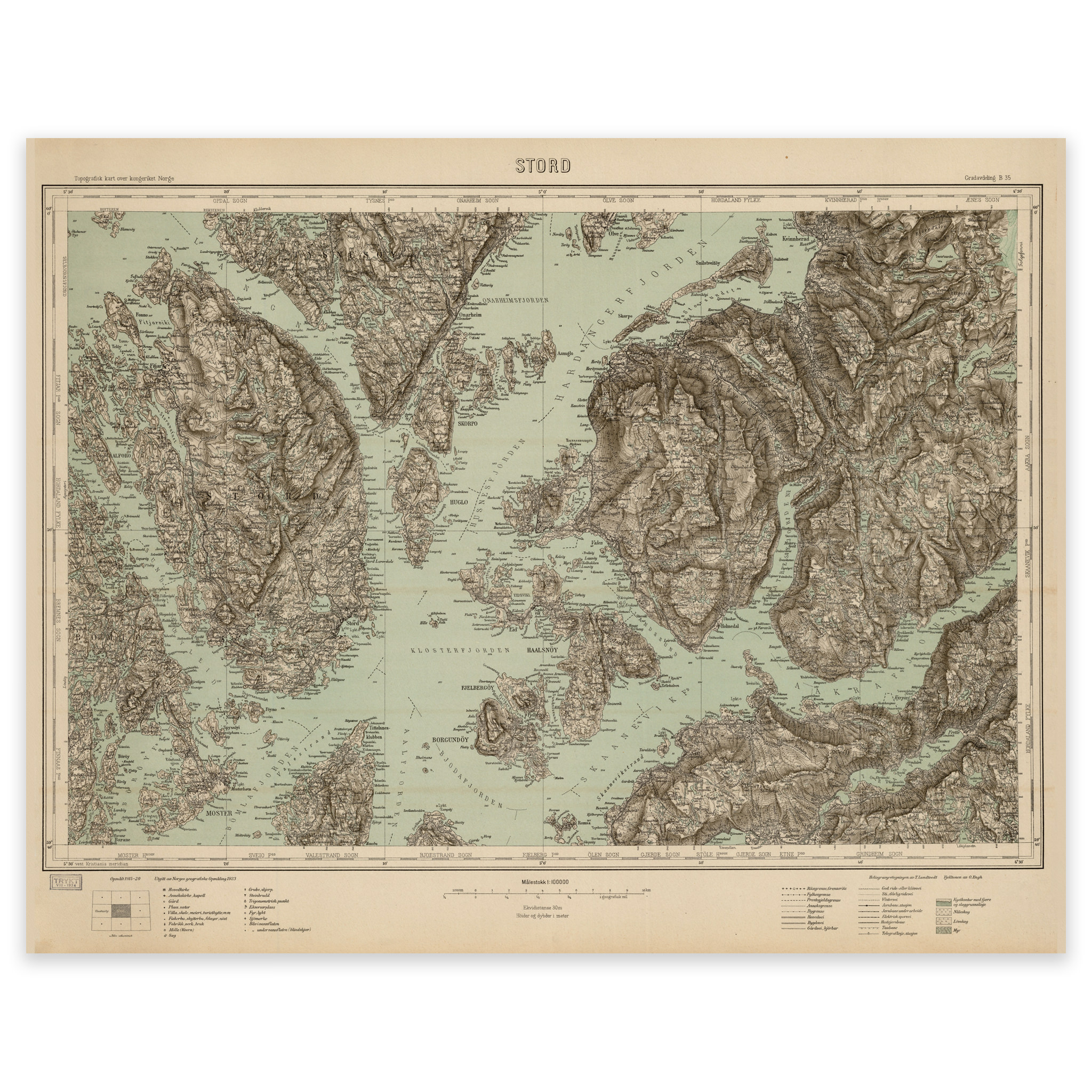


Stord 1923
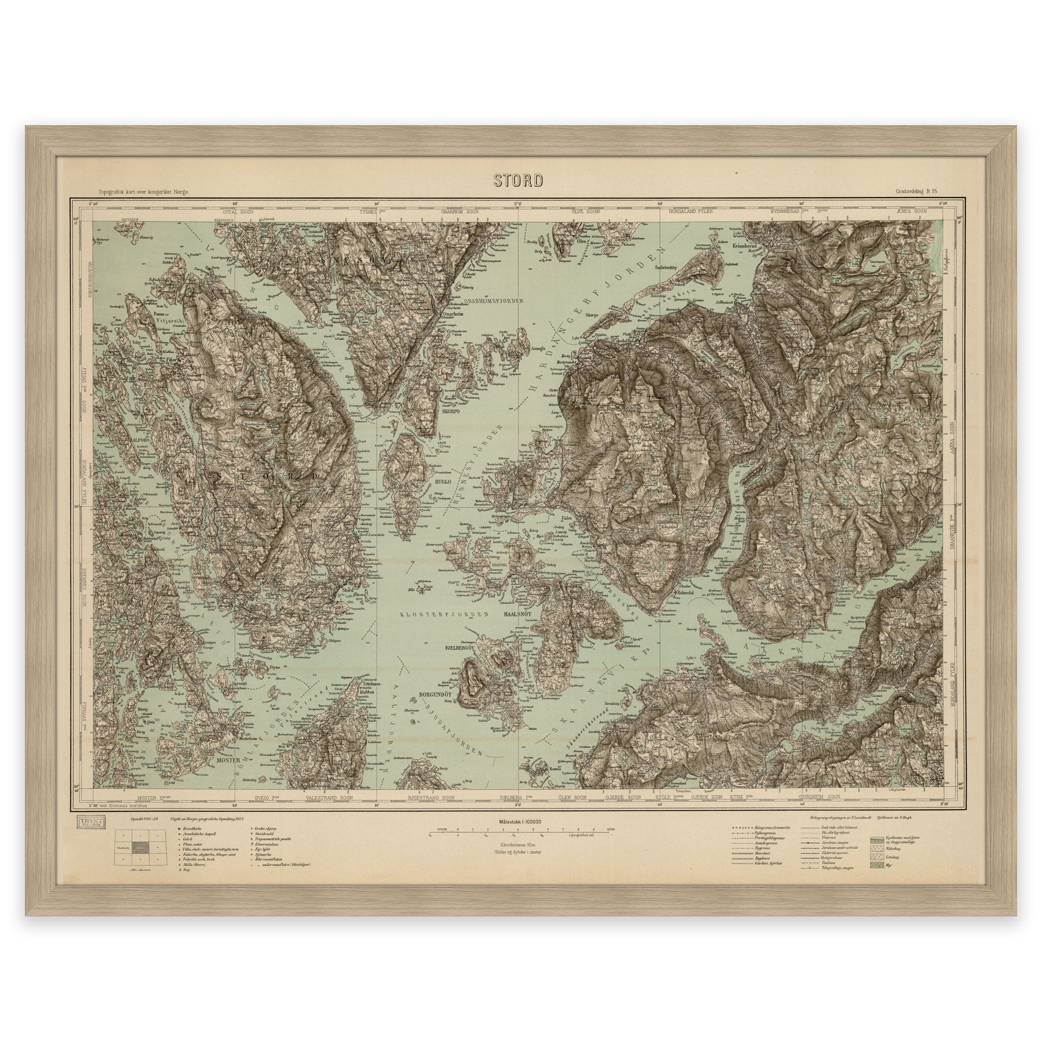
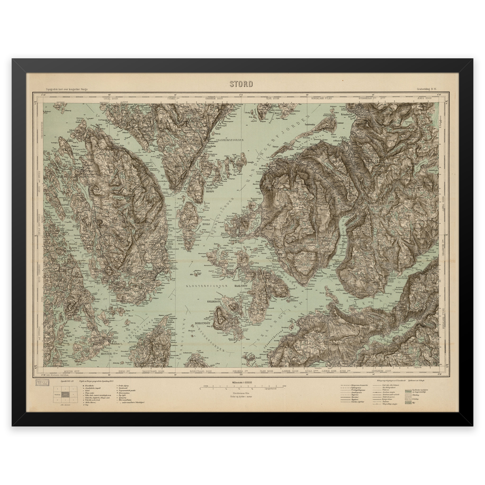
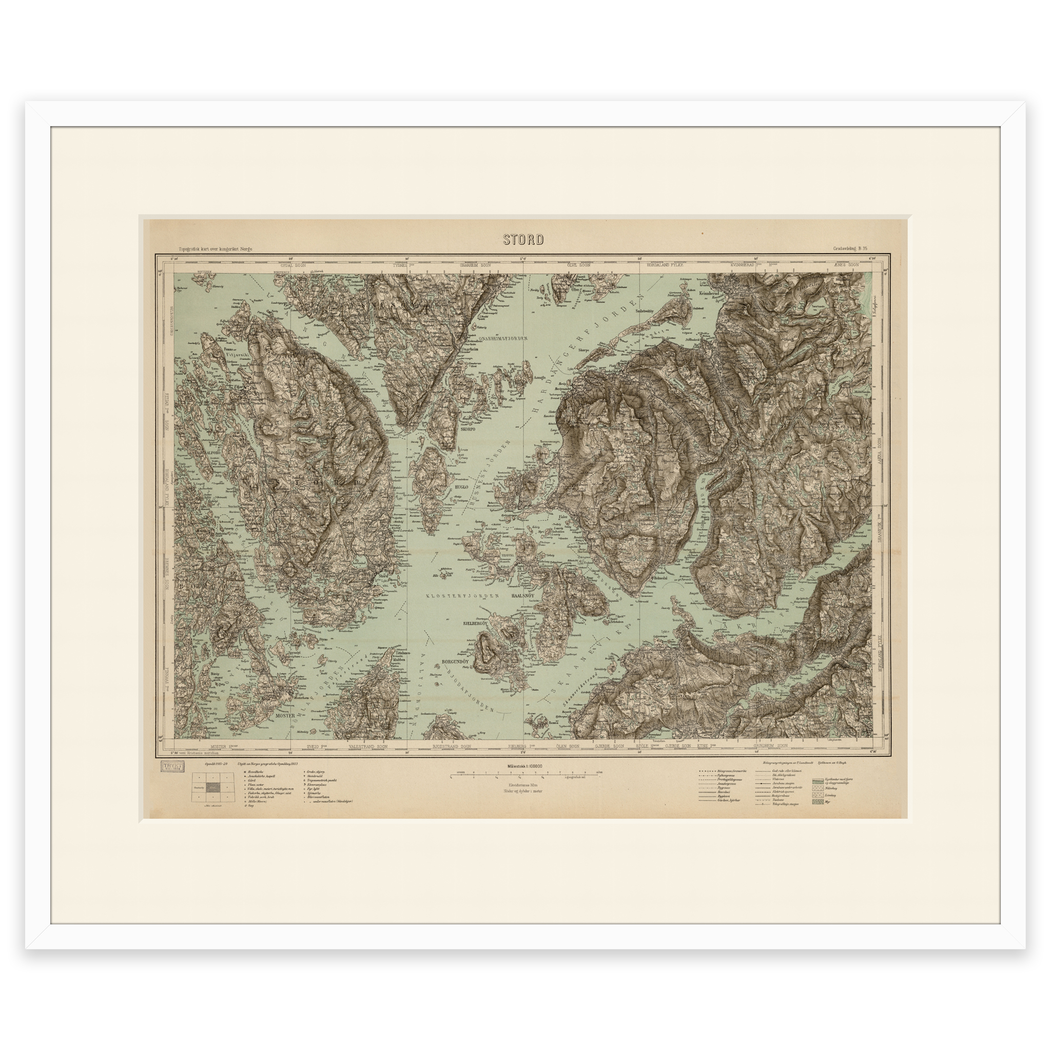
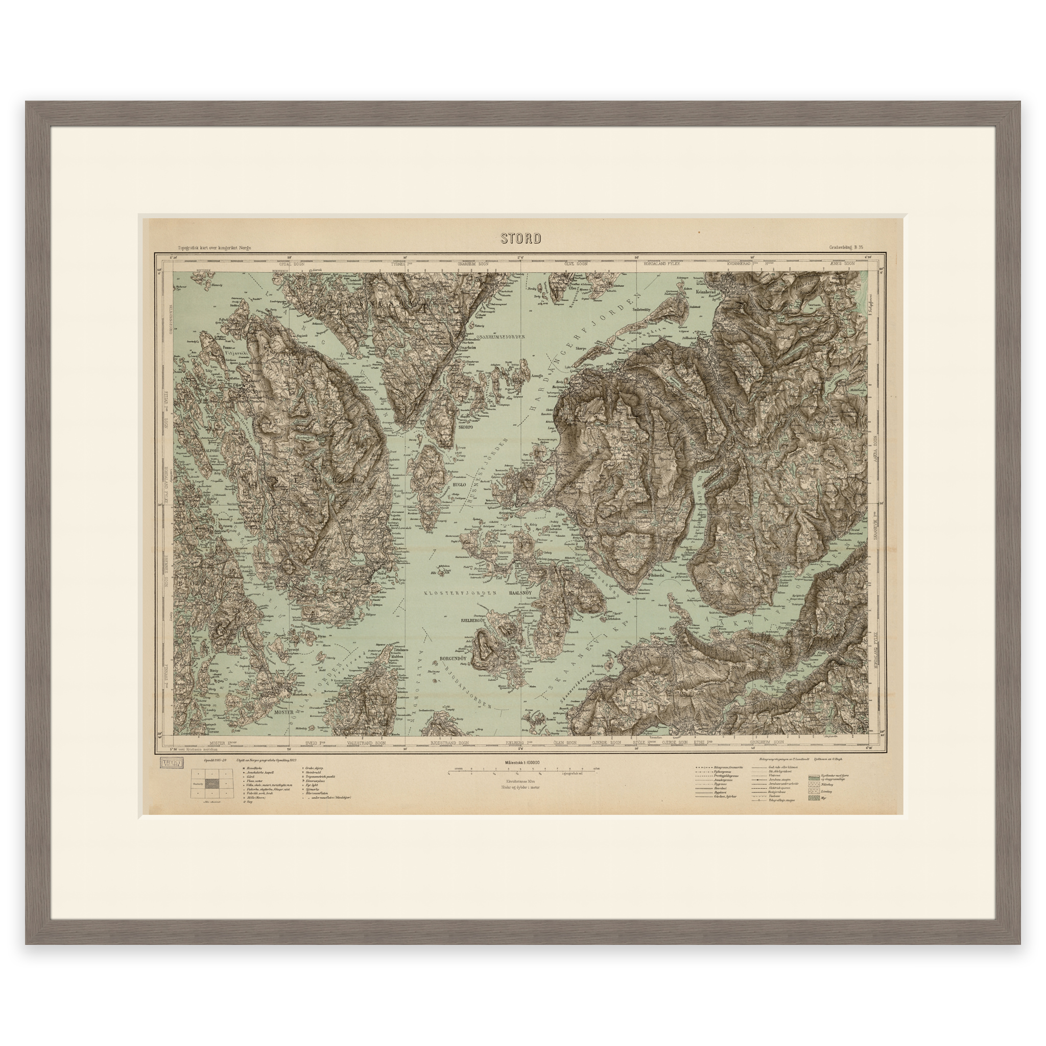
Map from 1923 of Bømlafjorden, Husnesfjorden and Kvinnheradsfjorden. The map covers the area between Mosterhavn, Stord and Rosendal. The map is delivered in its original size of 60.8 x 47.7 cm. The size with frame and passepartout is 78.8 x 66.7 cm. Would you like the map in a different size? Just get in touch – we’ll be happy to give you a quote for customization.