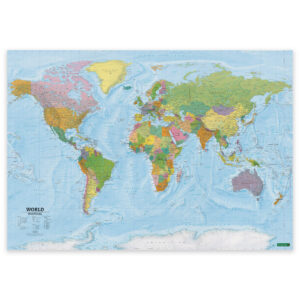
 Classic world map with countries and capitals


Classic world map with countries and capitals
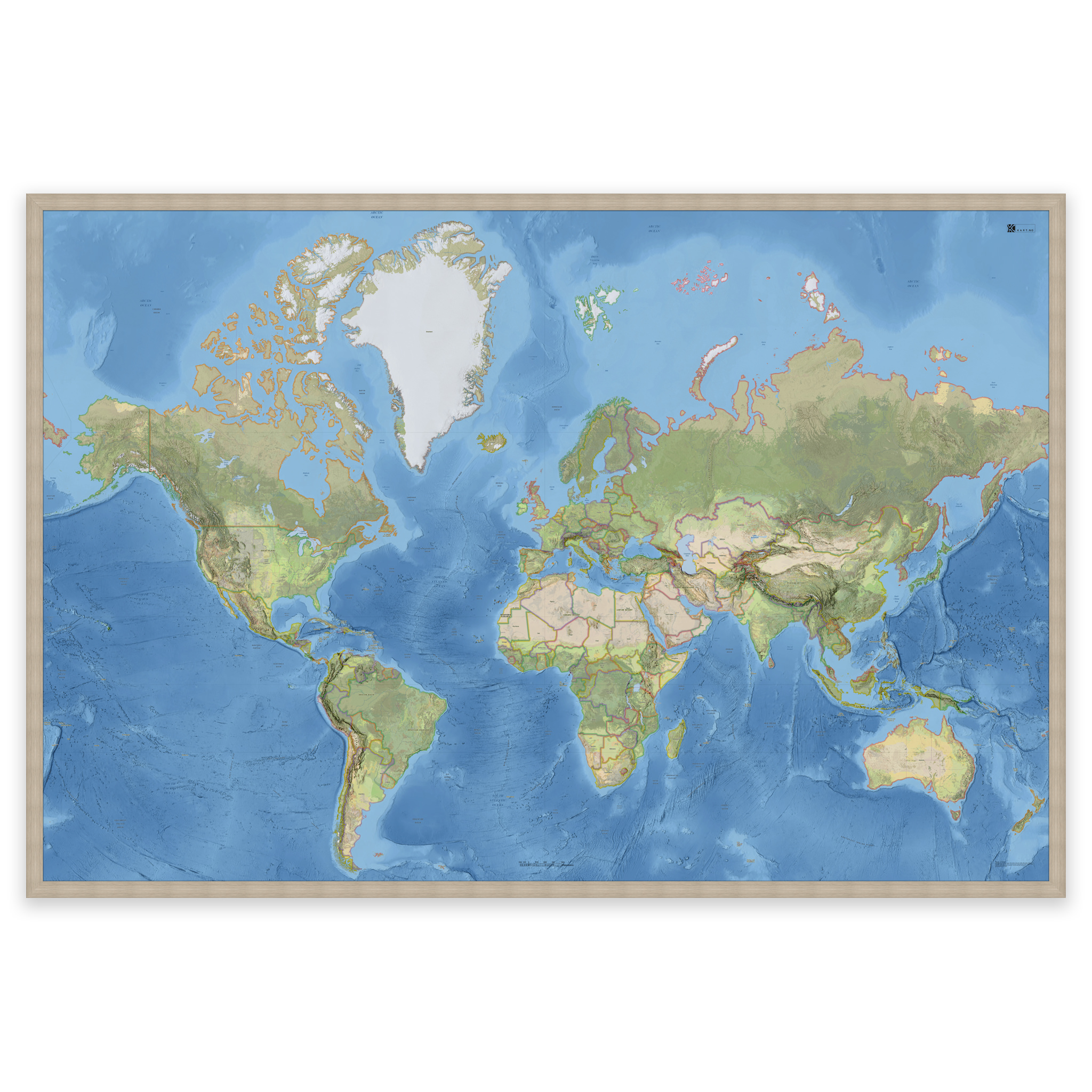
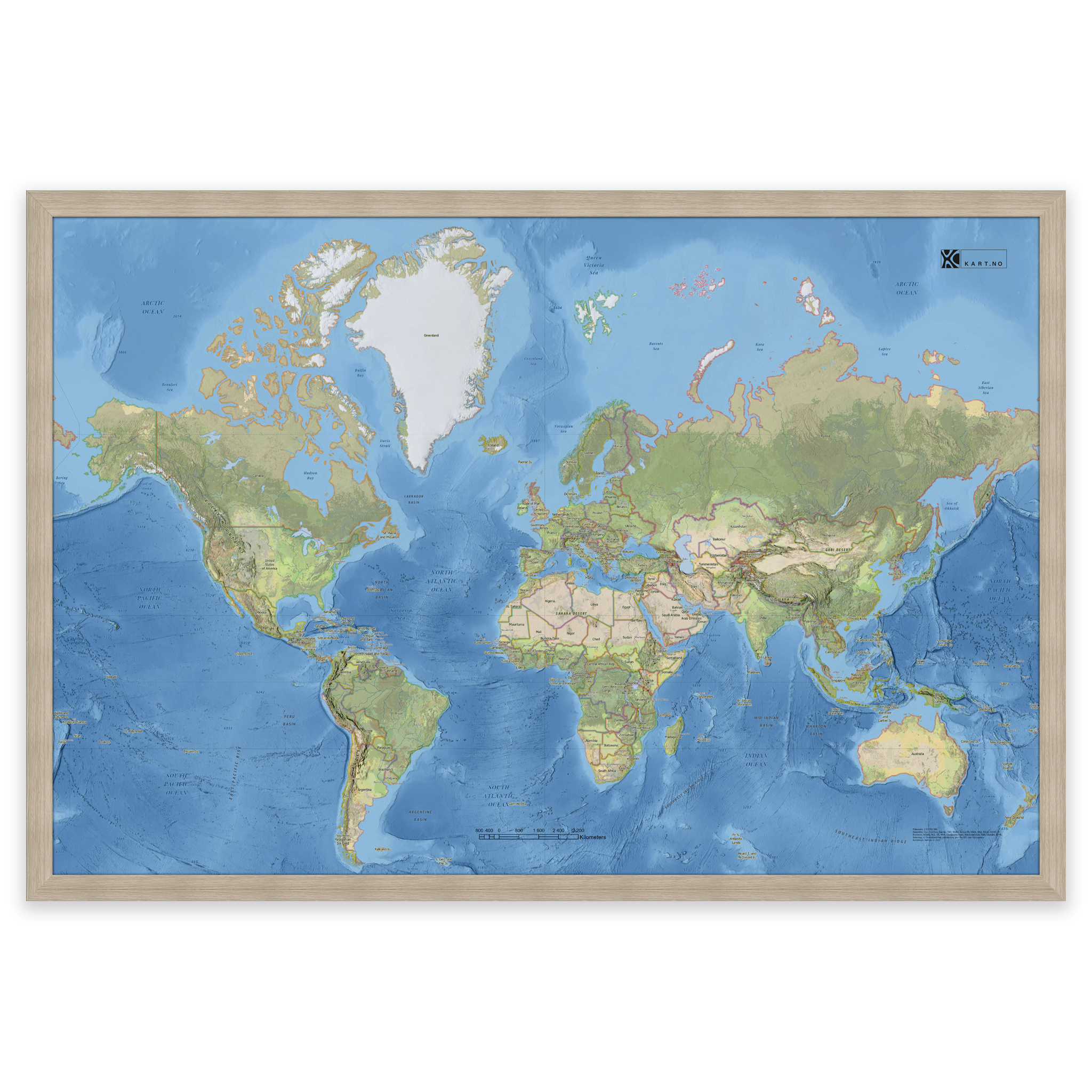
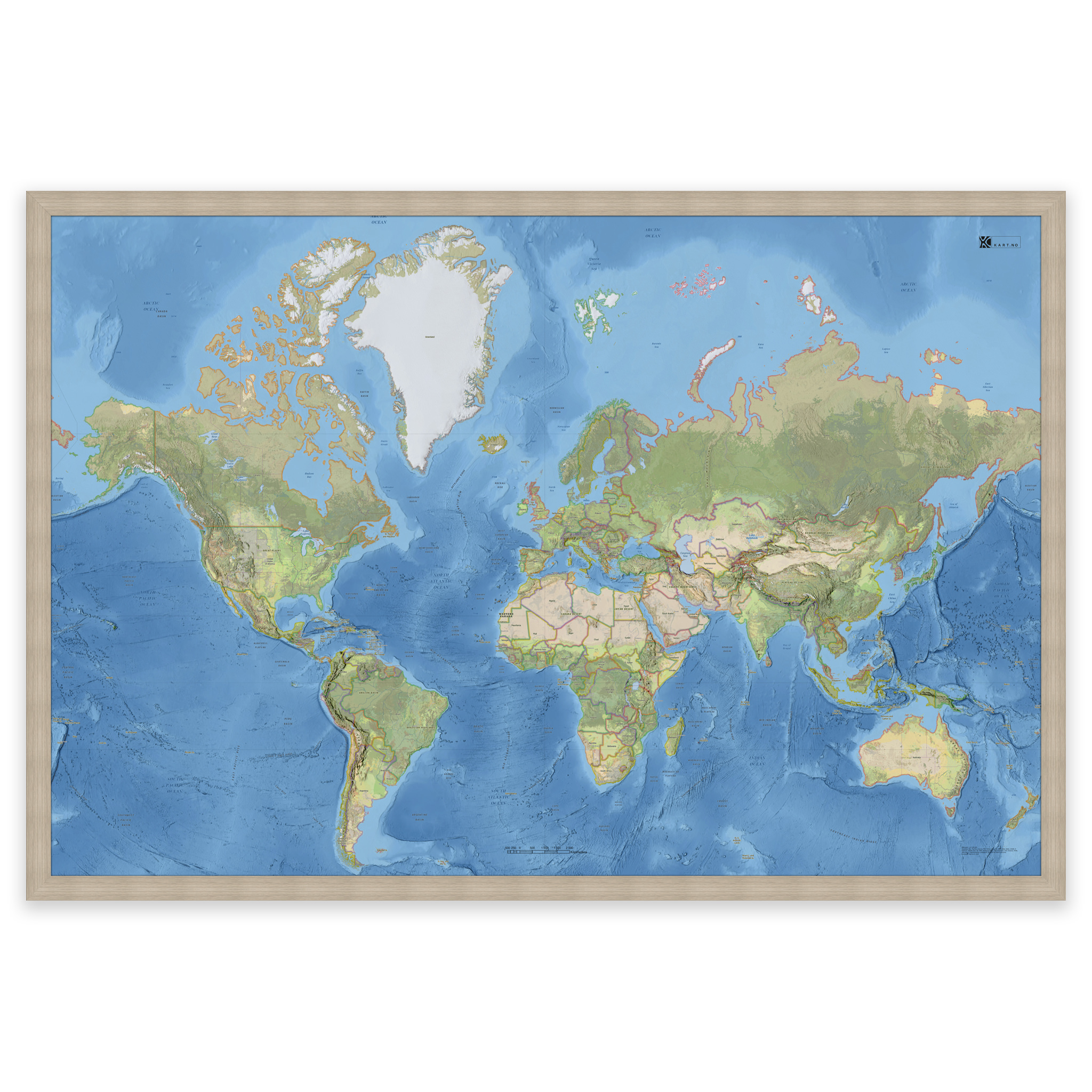
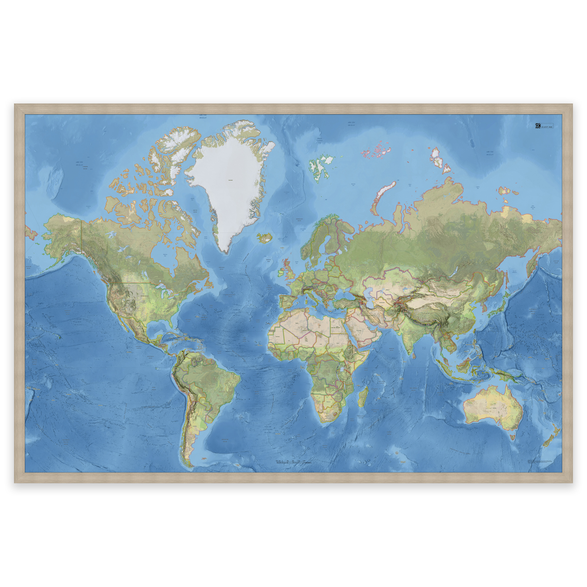
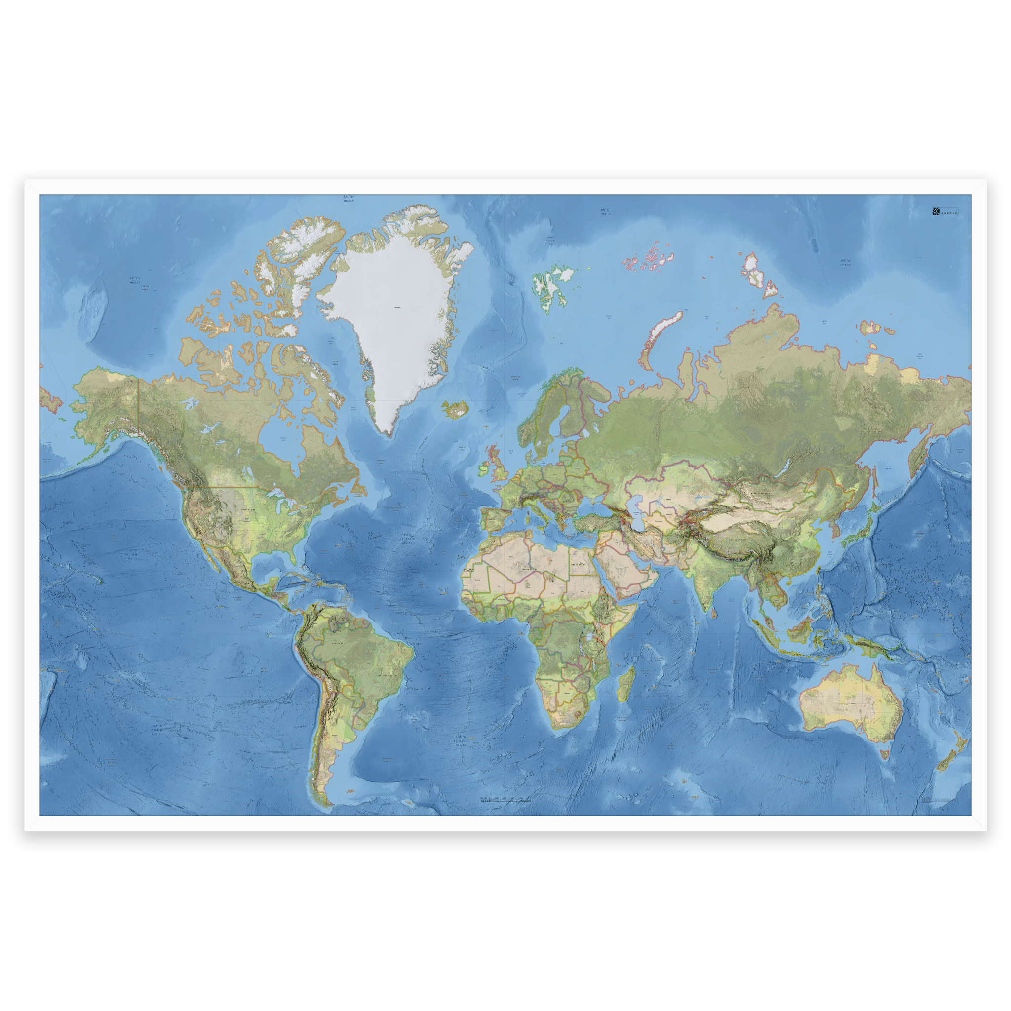
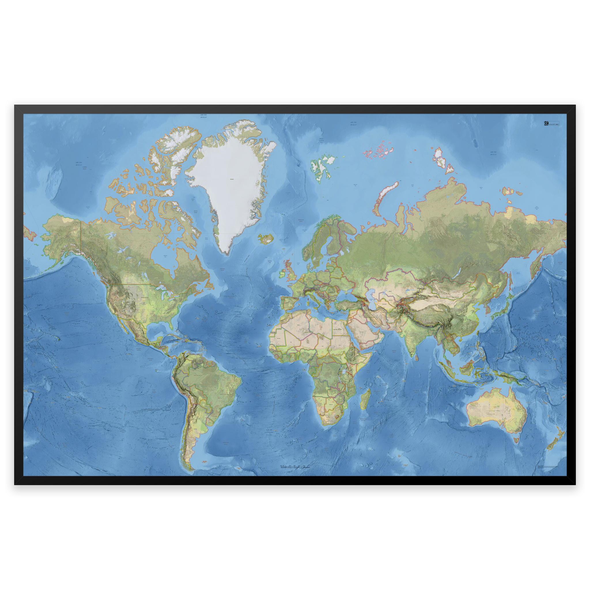
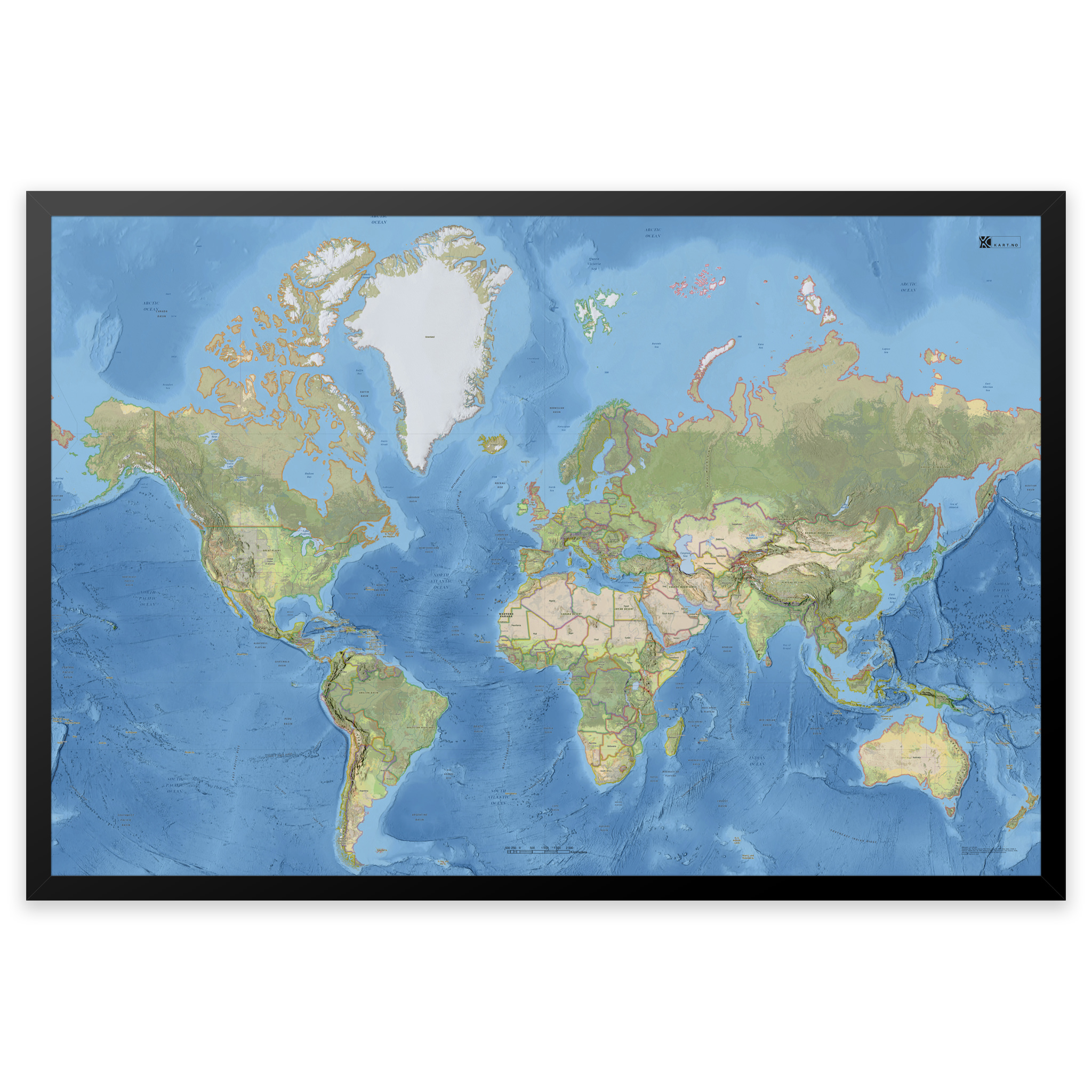
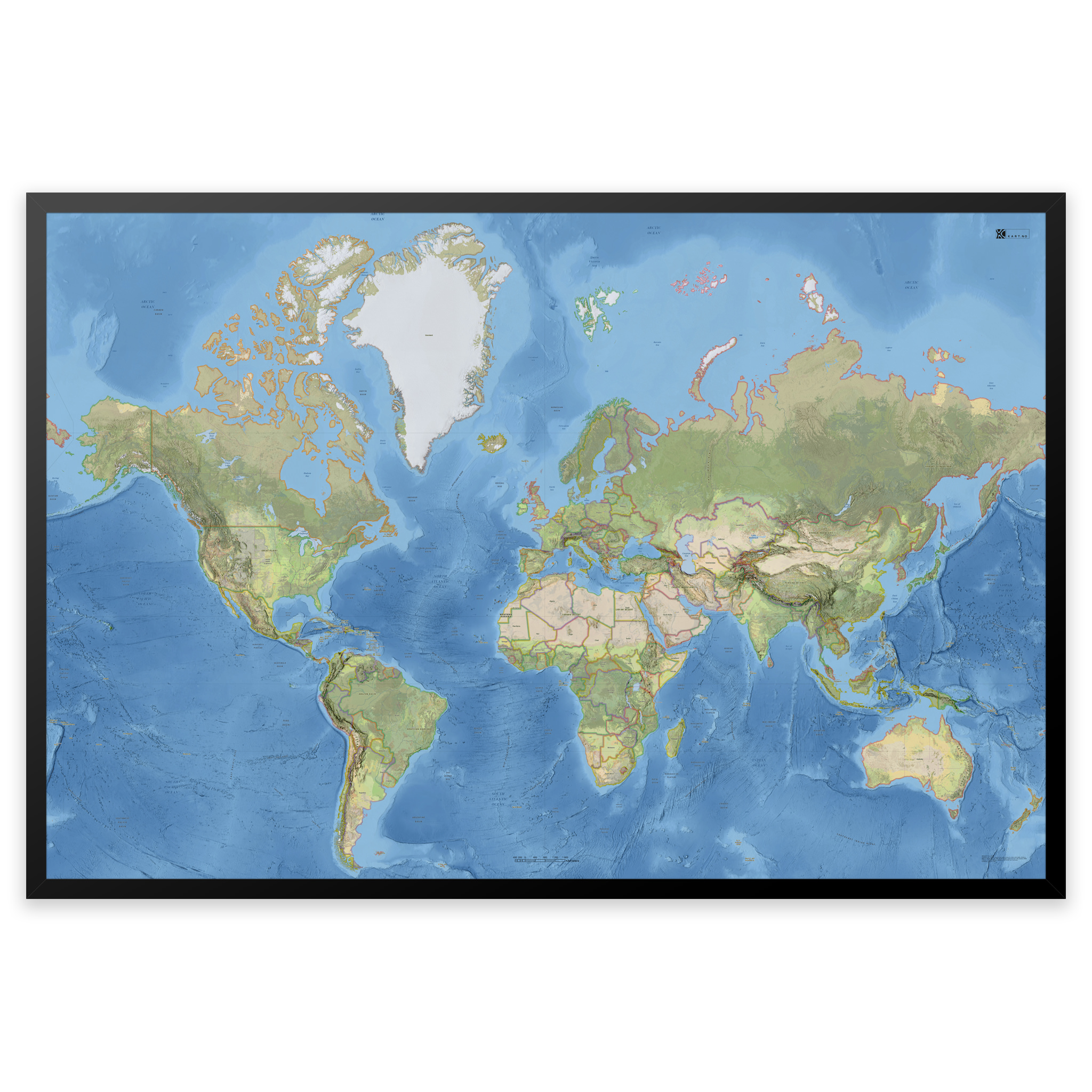
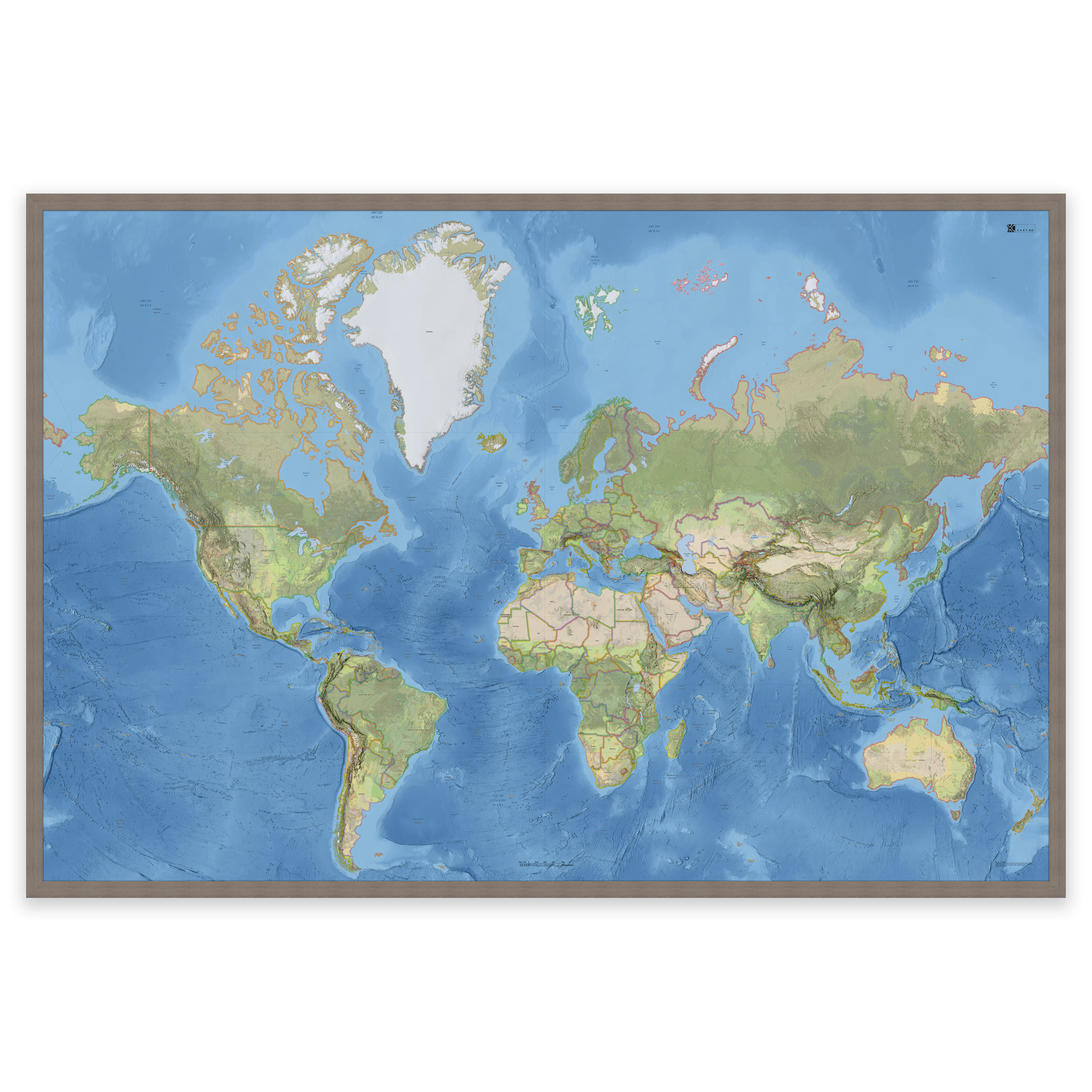
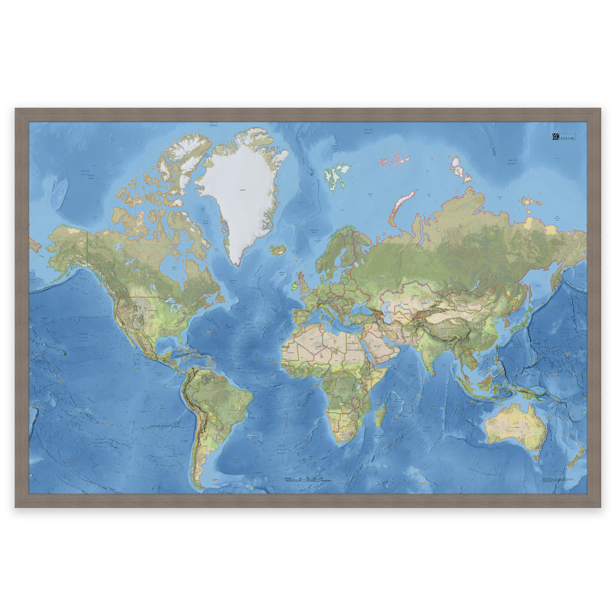
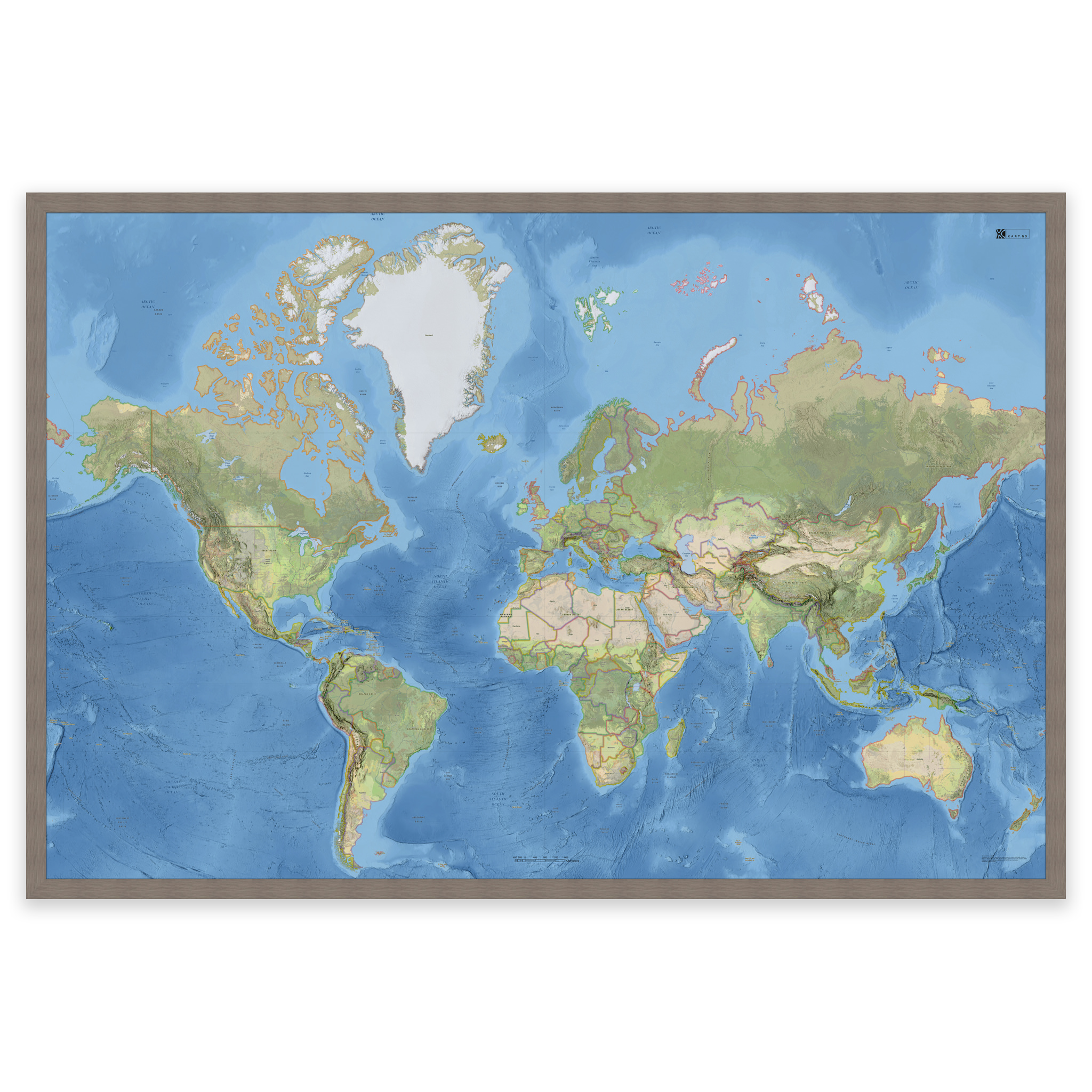
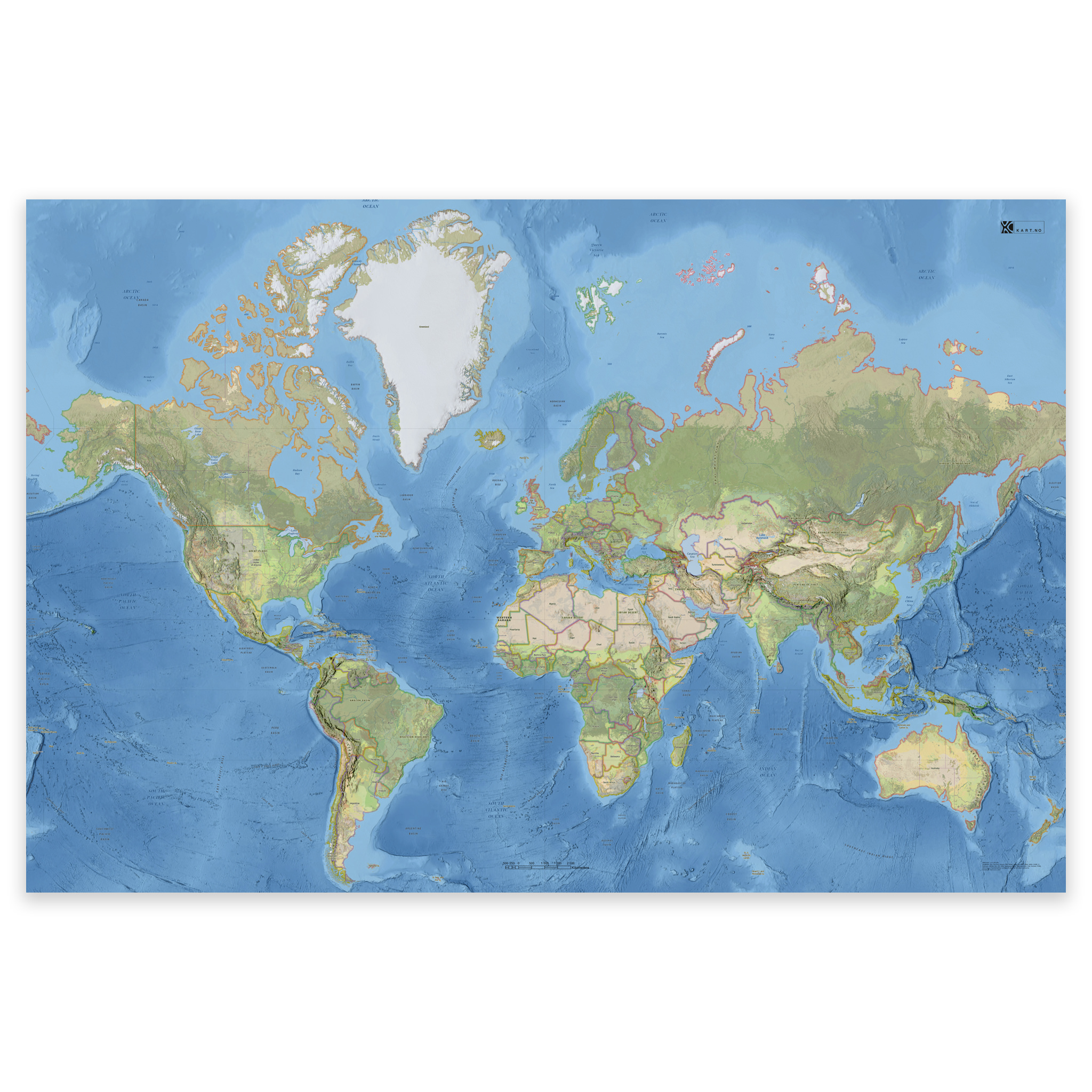
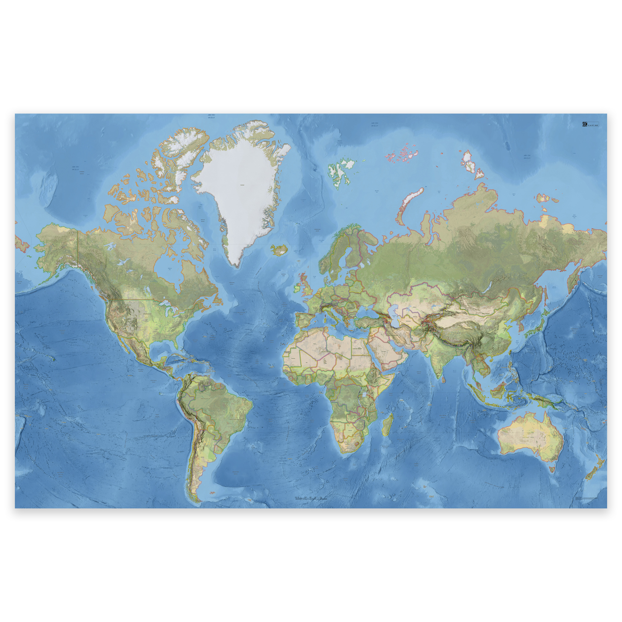
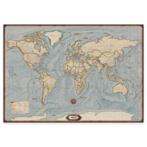
Stylish and detailed world map – available in four sizes.
The map is based on the National Geographic World Basemap and combines classic cartography with modern GIS technology. It shows physical and political boundaries, landmarks, cities and natural features in great detail.
The map is in English and all sizes include names of countries and capitals. The map projection provides a clear and easy-to-read view of the world, as you know it from modern digital map solutions.
Order as a poster, map on board or framed print on art paper – perfect for your home, office or classroom.
Printed with 12-color pigment inks for great detail, deep colors and long life – up to 400 years.
From 0,00 €
Related products
-
In stock
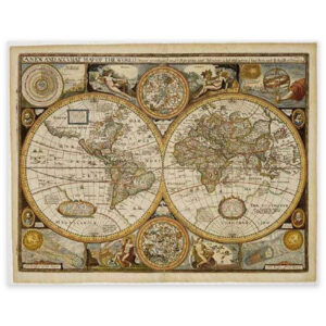
World Map – John Speed 1651 – 91 × 70 cm – Freytag & Berndt
51,64 € Add to cart -
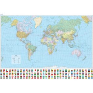
Political World Map 1:30 million – Laminated Wall Map – 140 × 99 cm
29,65 € Read more -
World Map – Political – 137 × 96 cm – Freytag & Berndt
Fra 59,07 € Select options This product has multiple variants. The options may be chosen on the product page -
World map in antique style – 137.5 × 96 cm
Fra 59,07 € Select options This product has multiple variants. The options may be chosen on the product page