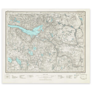


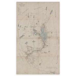
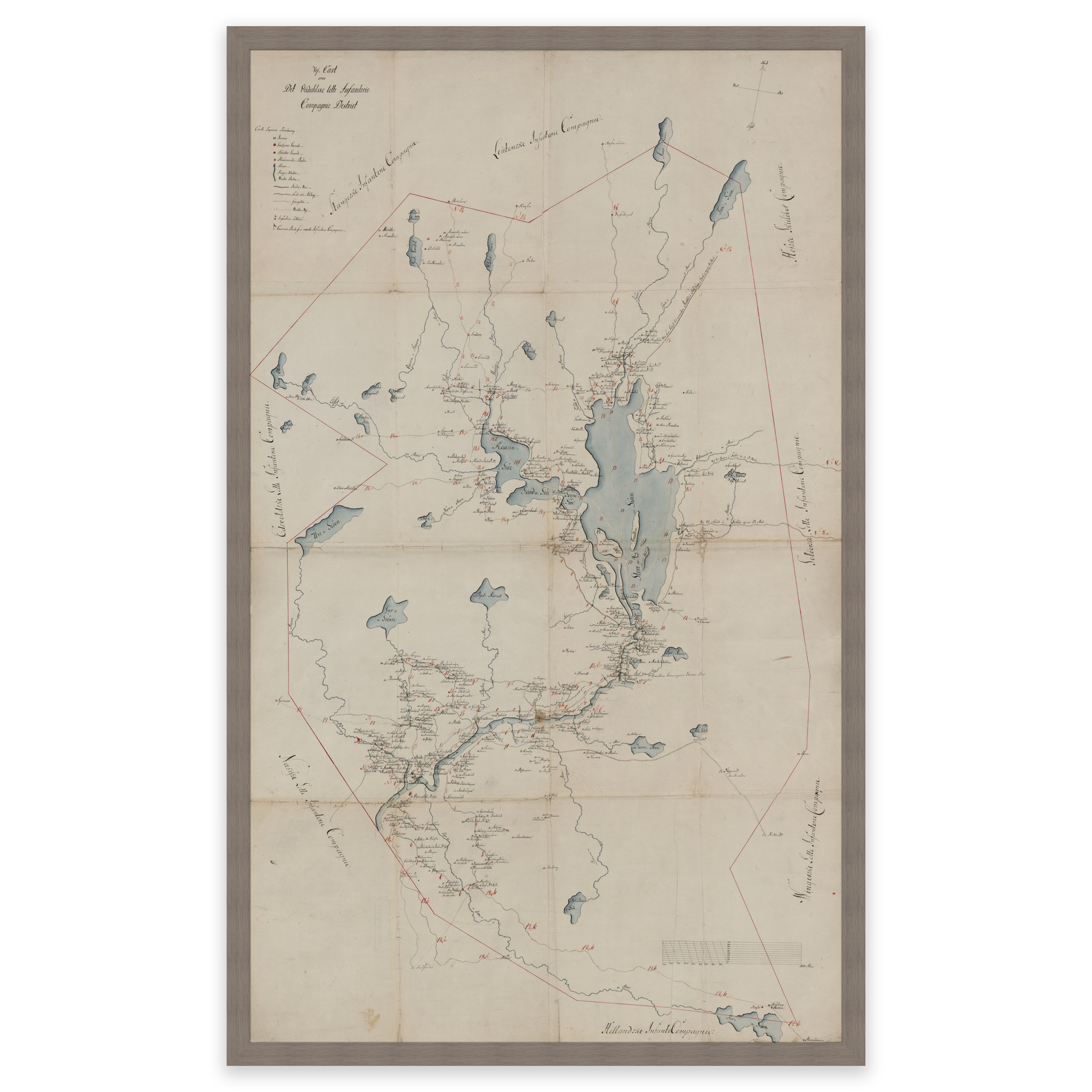
 Romerike 1800
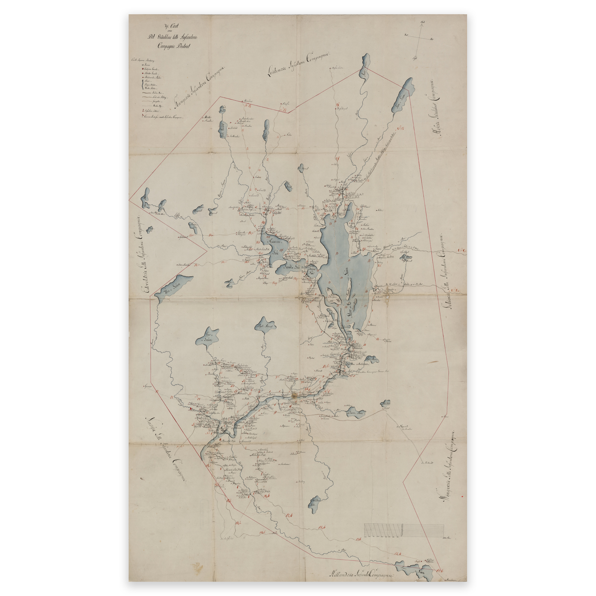
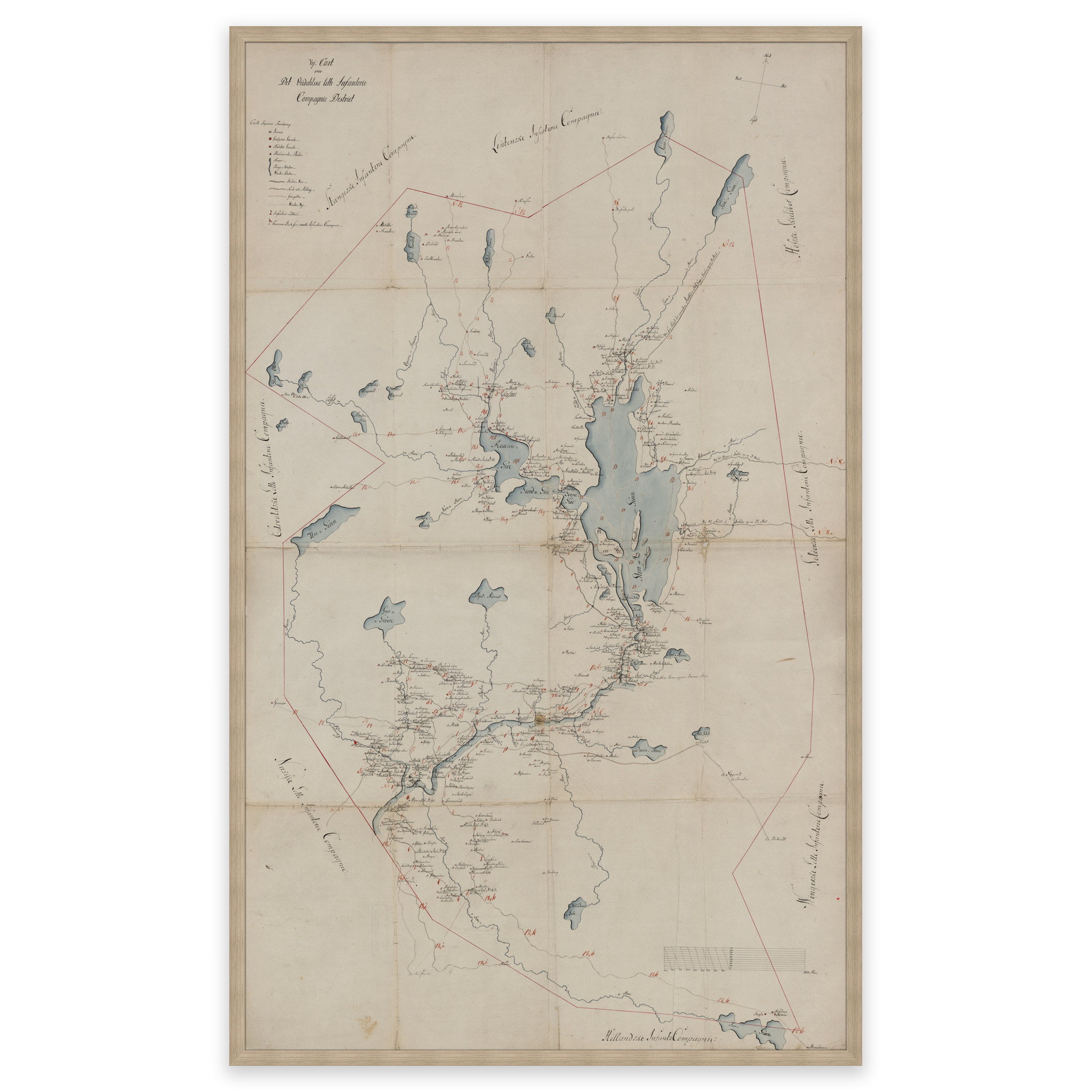
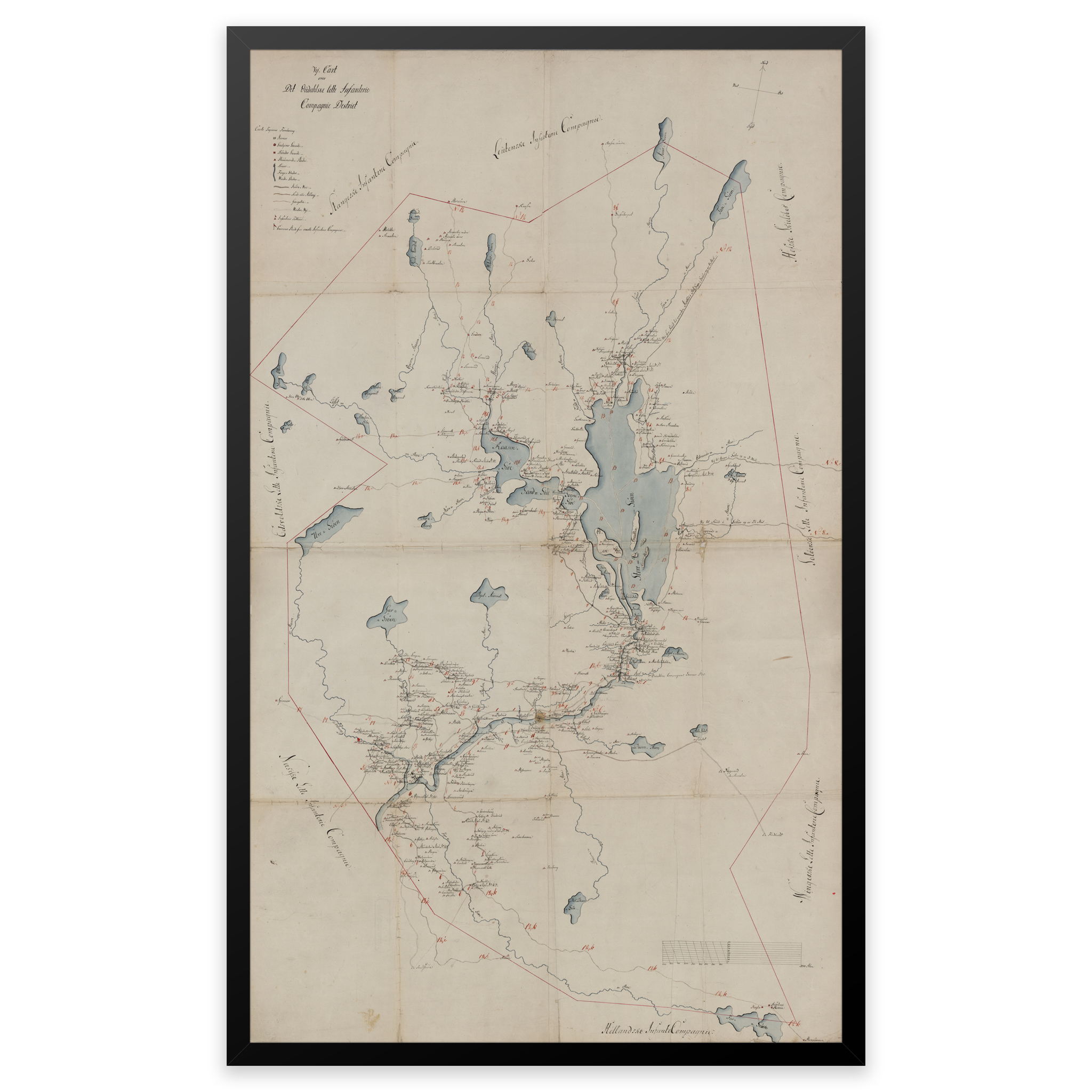

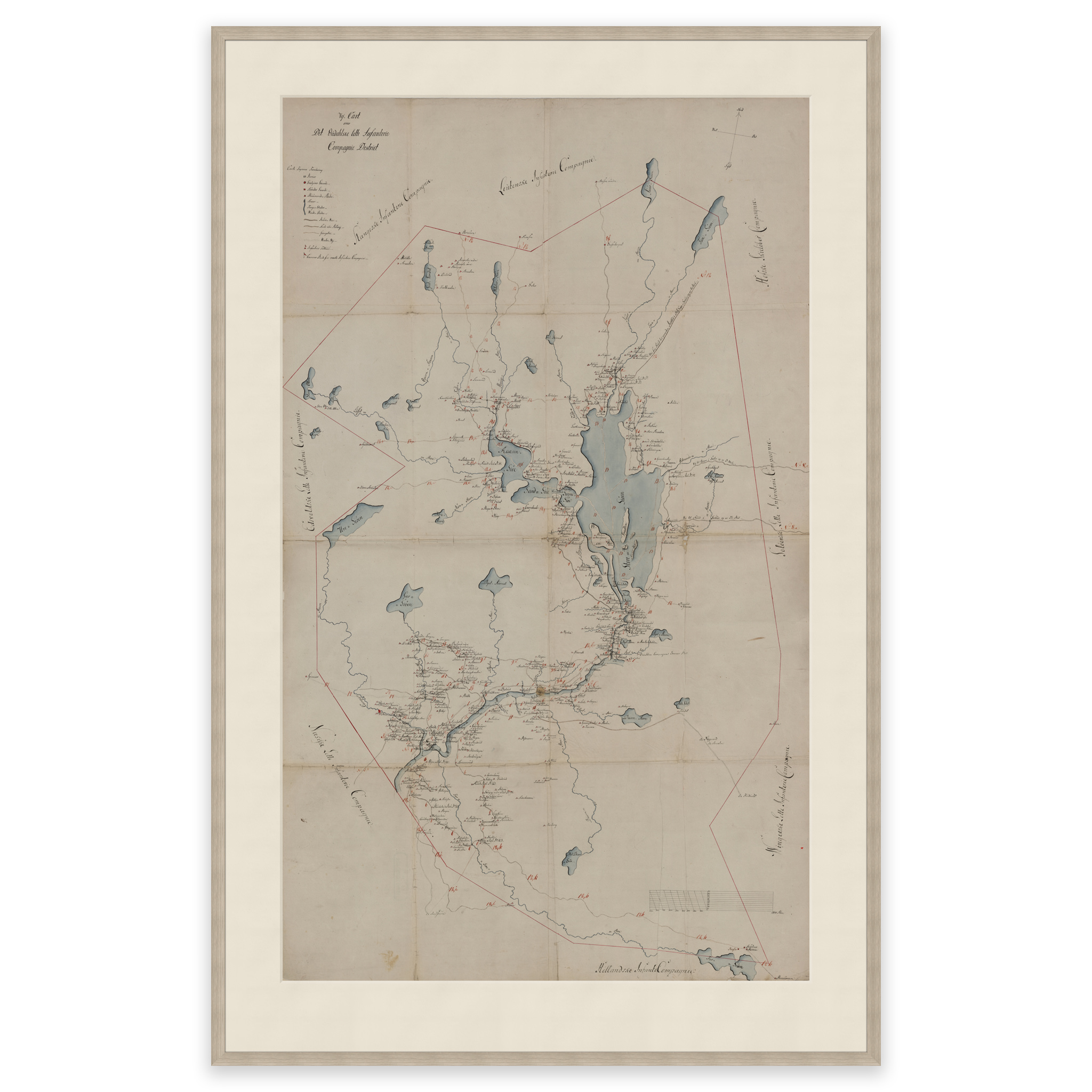
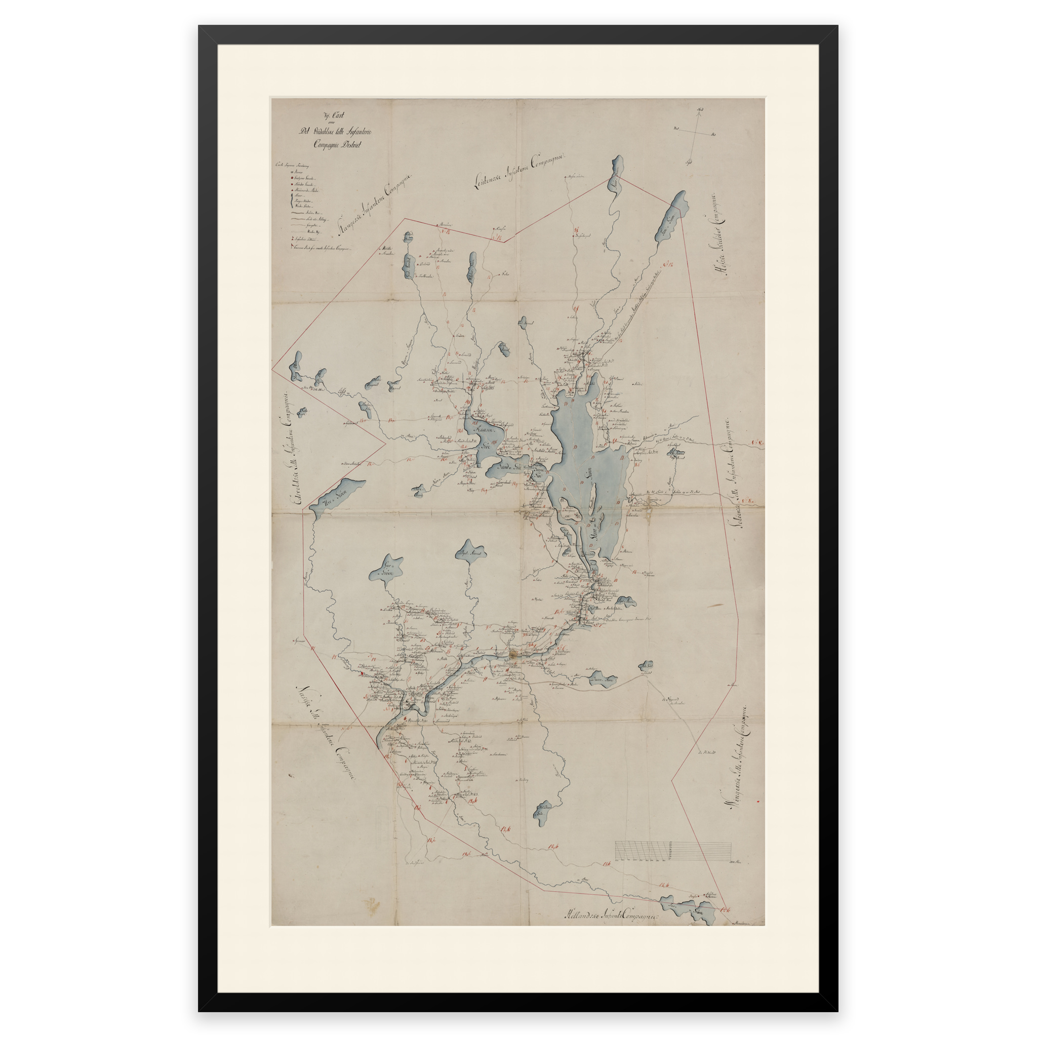
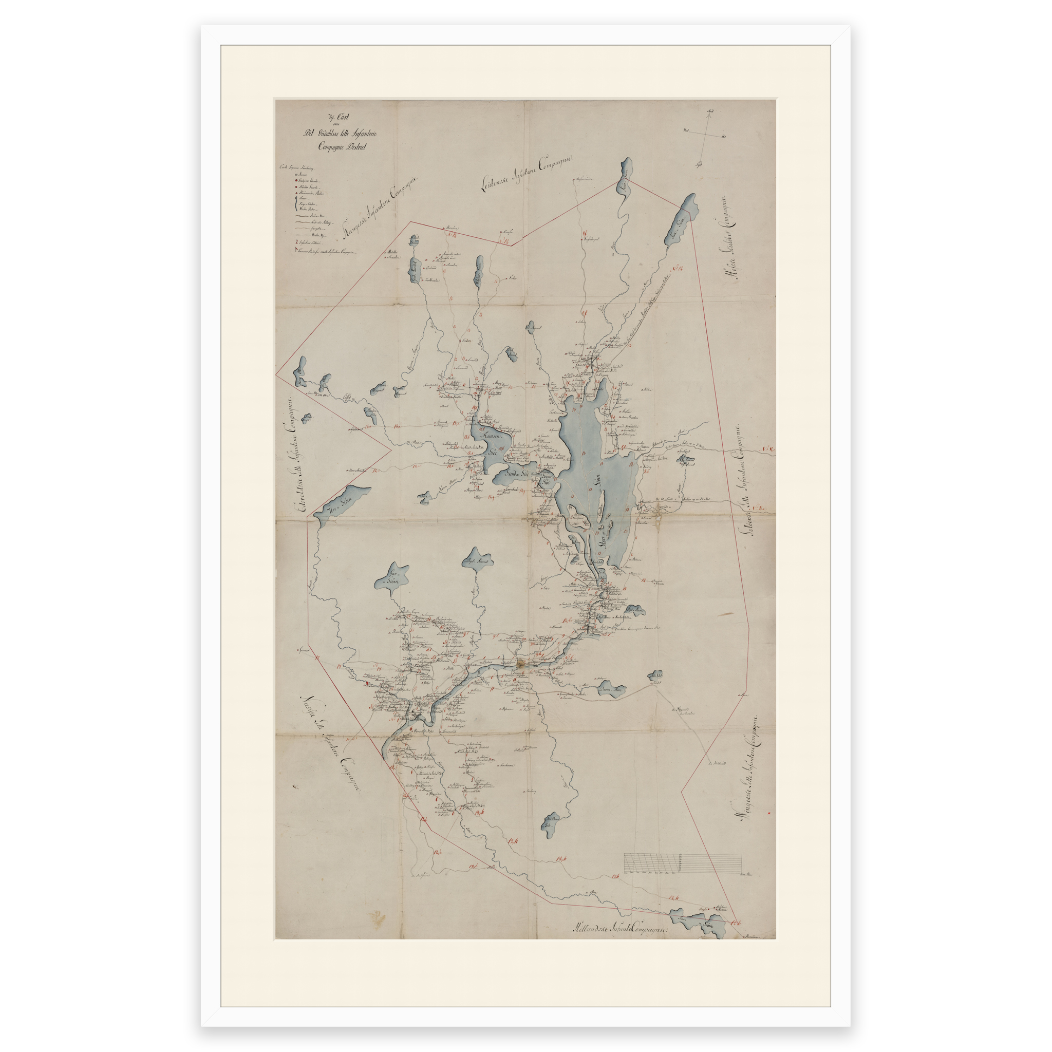
Romerike 1800
Hand-drawn map from 1800 of the area Romerike, Nord-Odal and Stange. The map is delivered in its original size of 112.3 x 85 cm. Do you want the map in a different size? Just get in touch – we’ll be happy to give you a quote for customization.