

 The coast Halten-Bodø 1839

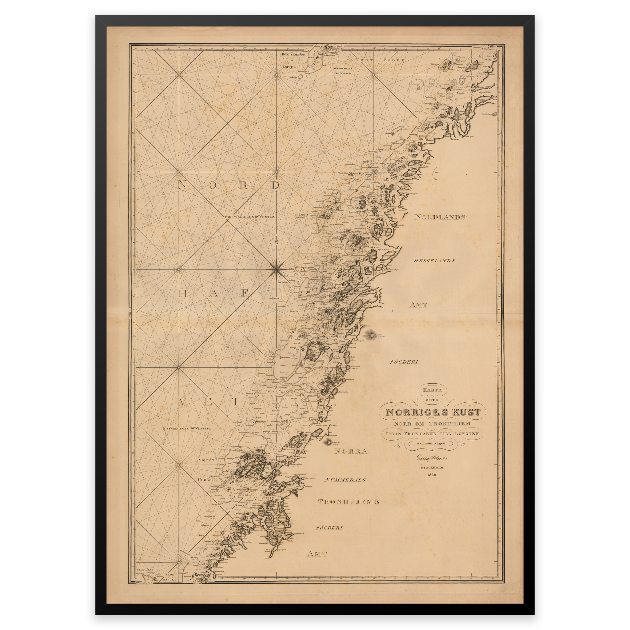


The coast Halten-Bodø 1839
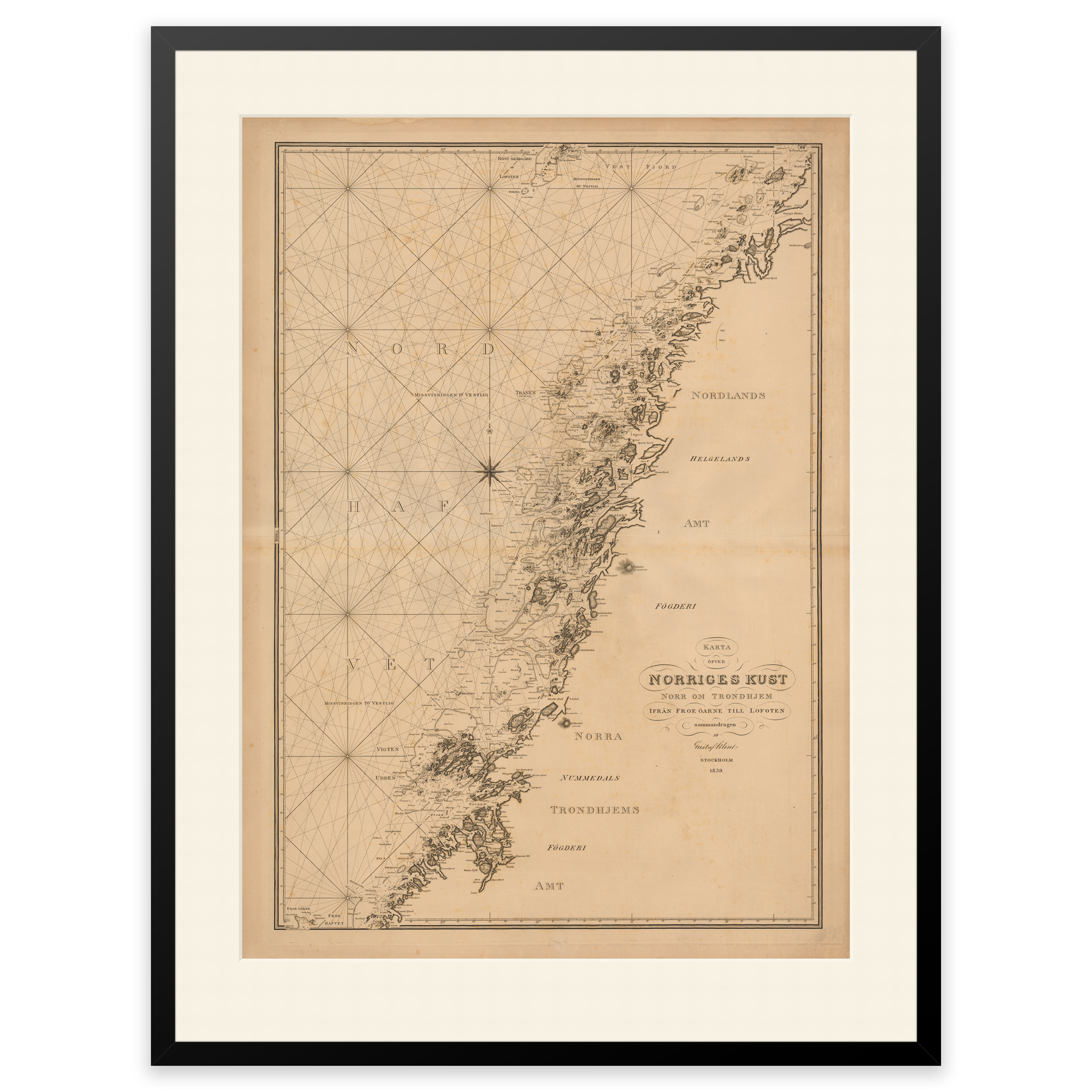
This historical nautical chart from 1839 is an engraving and covers the coast from Halten in the south to Bodø in the north. The map is delivered in its original size of 79.5 x 100.1 cm. Do you want the map in a different size? Just get in touch – we’ll be happy to give you a quote for customization.