


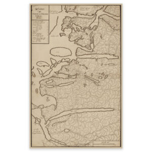
 Ryfylke 1750
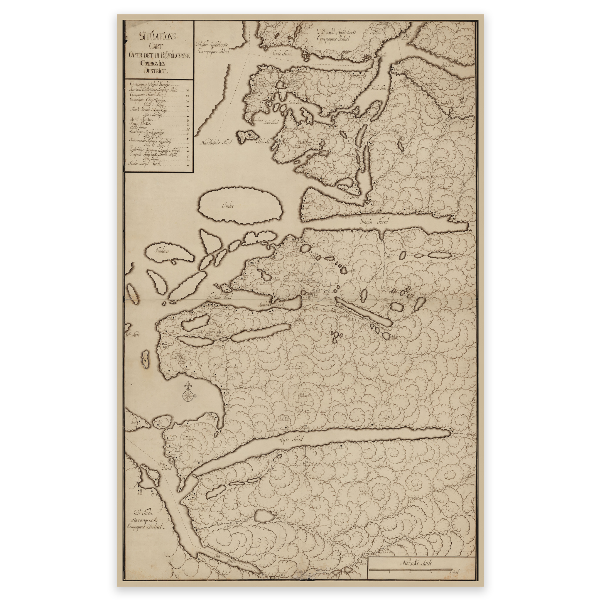
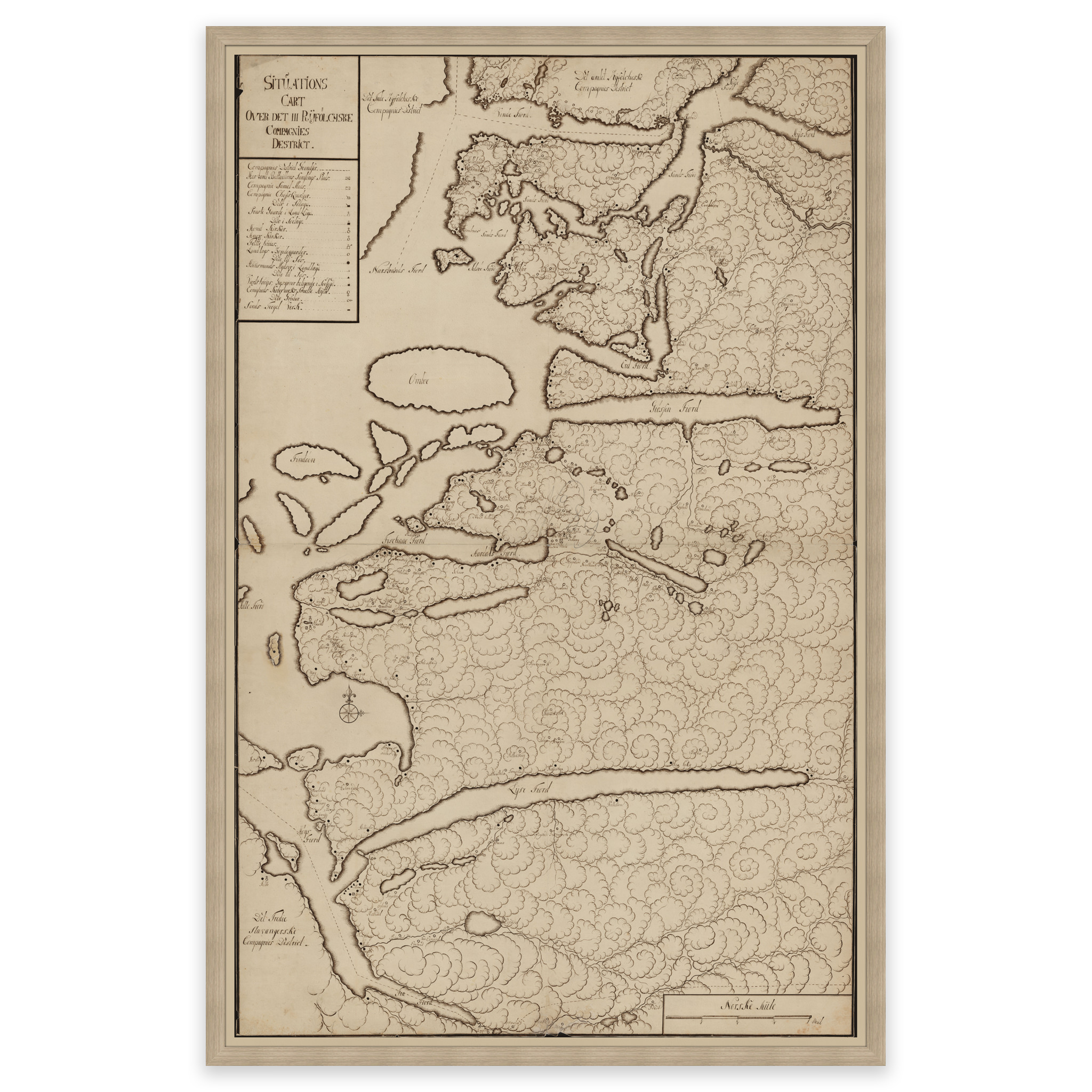
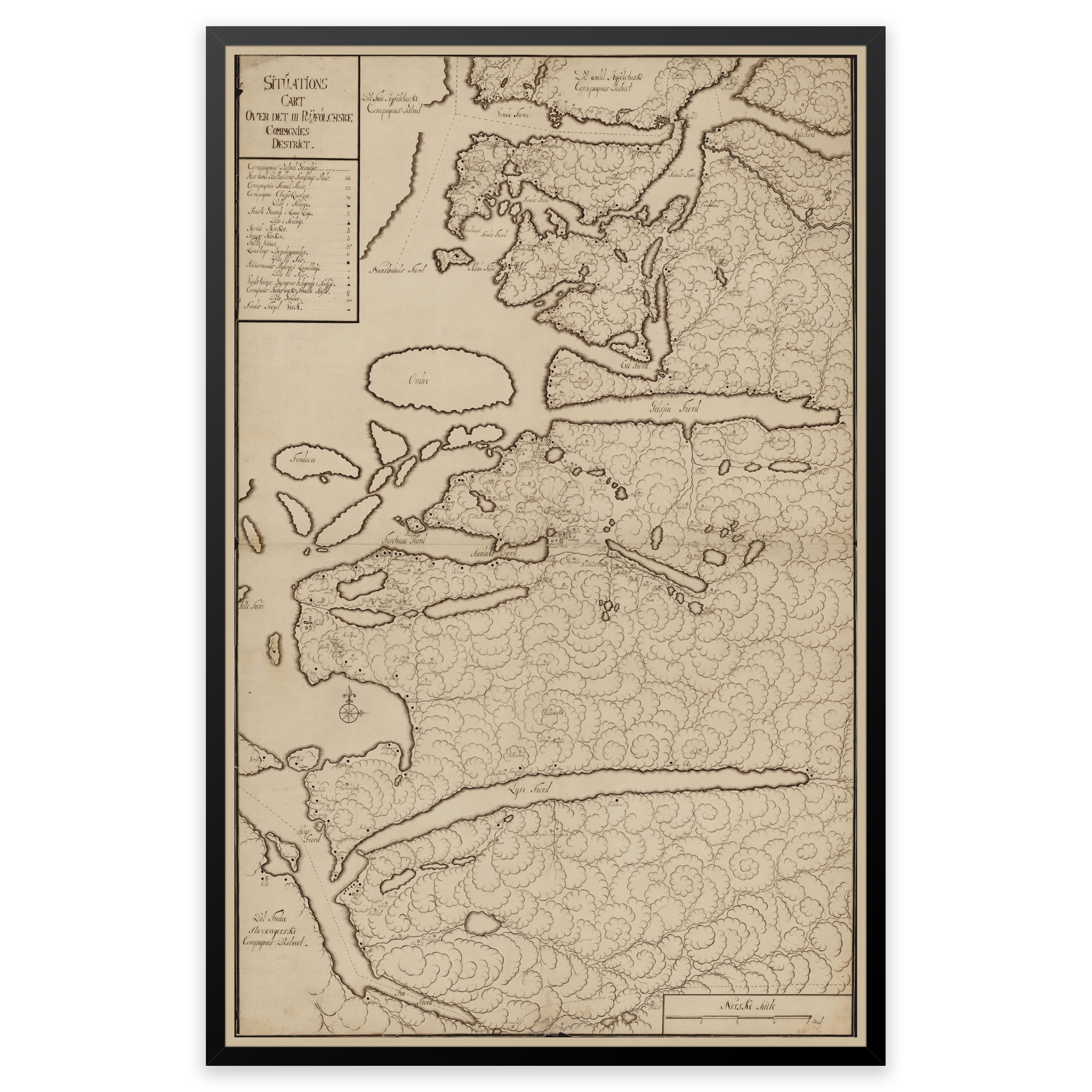
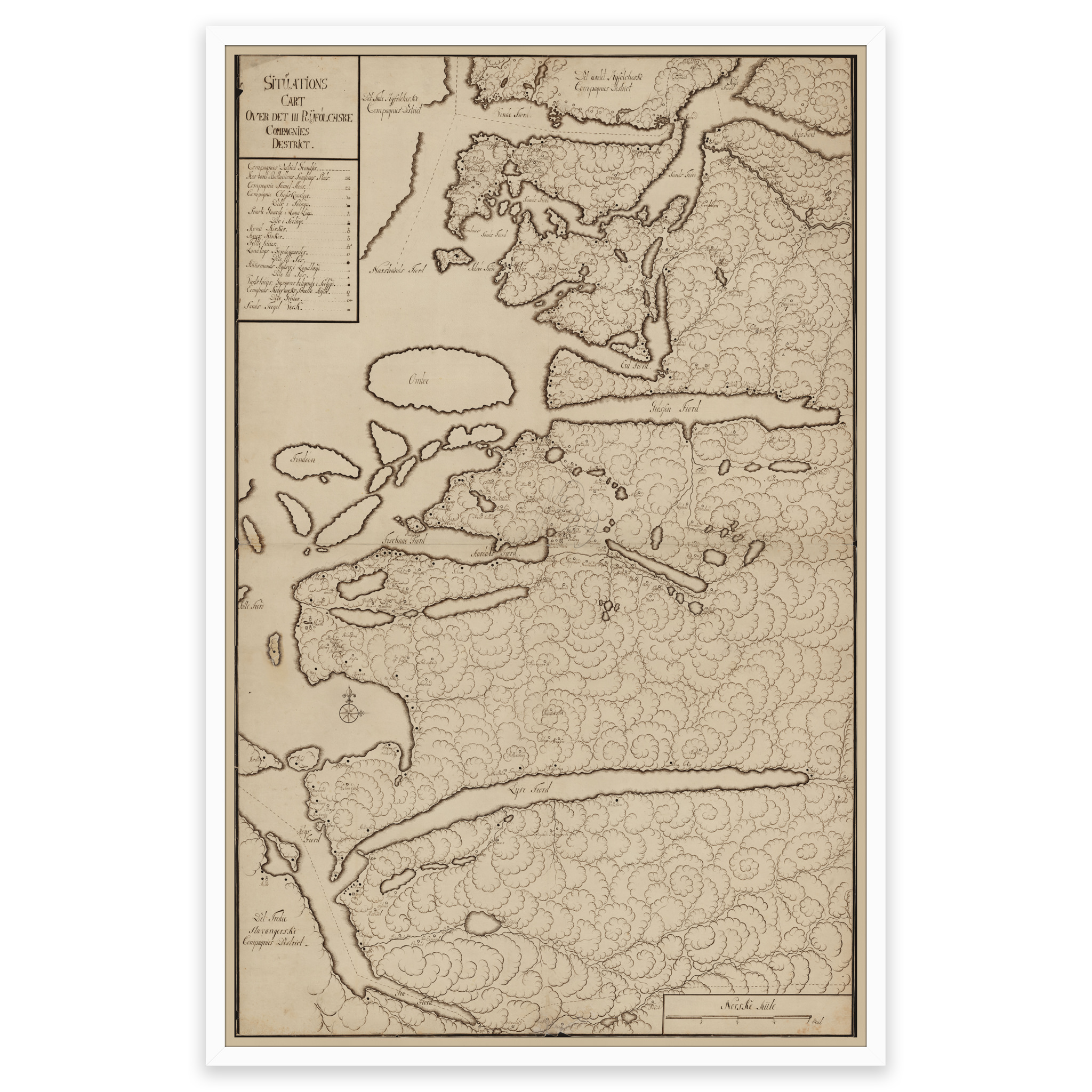
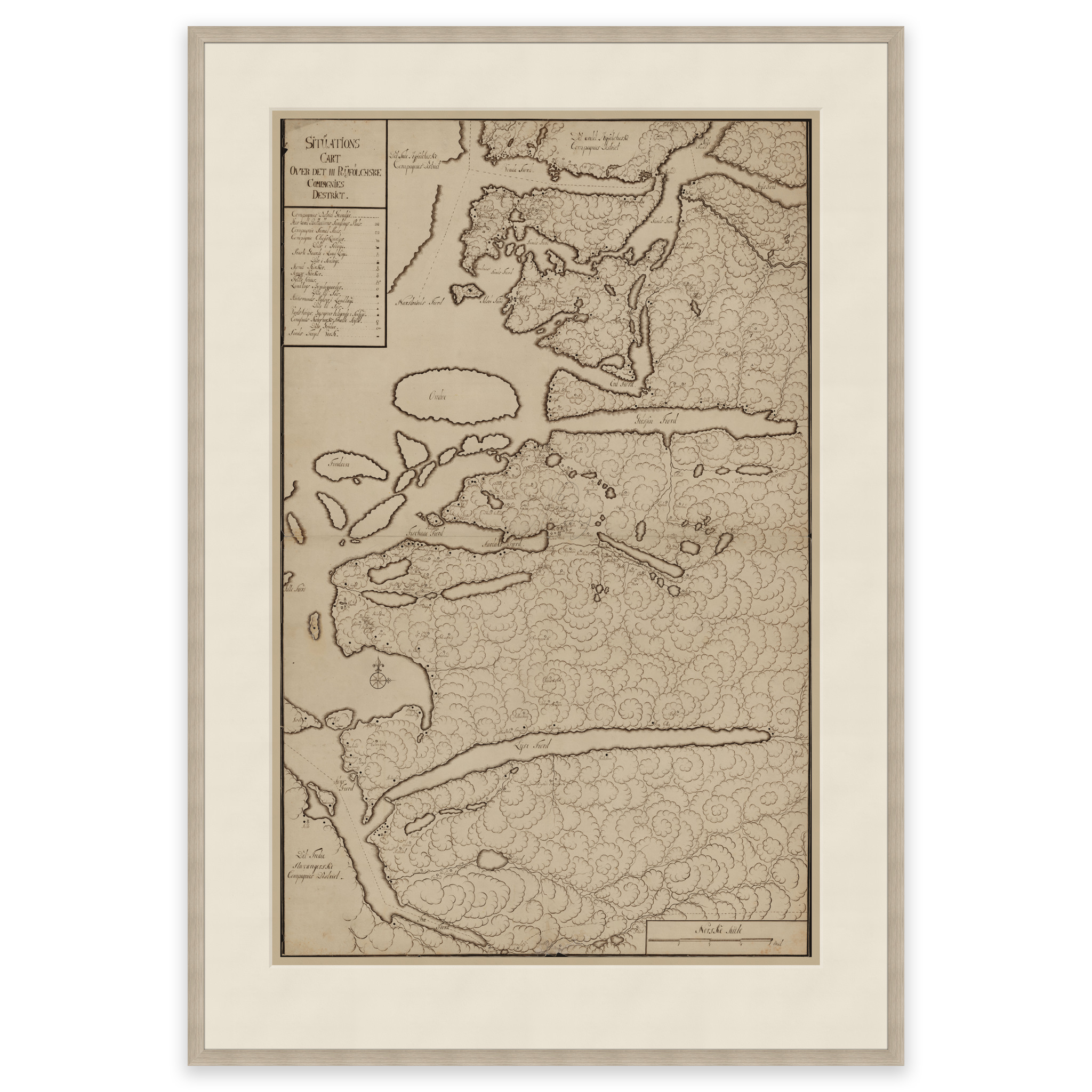

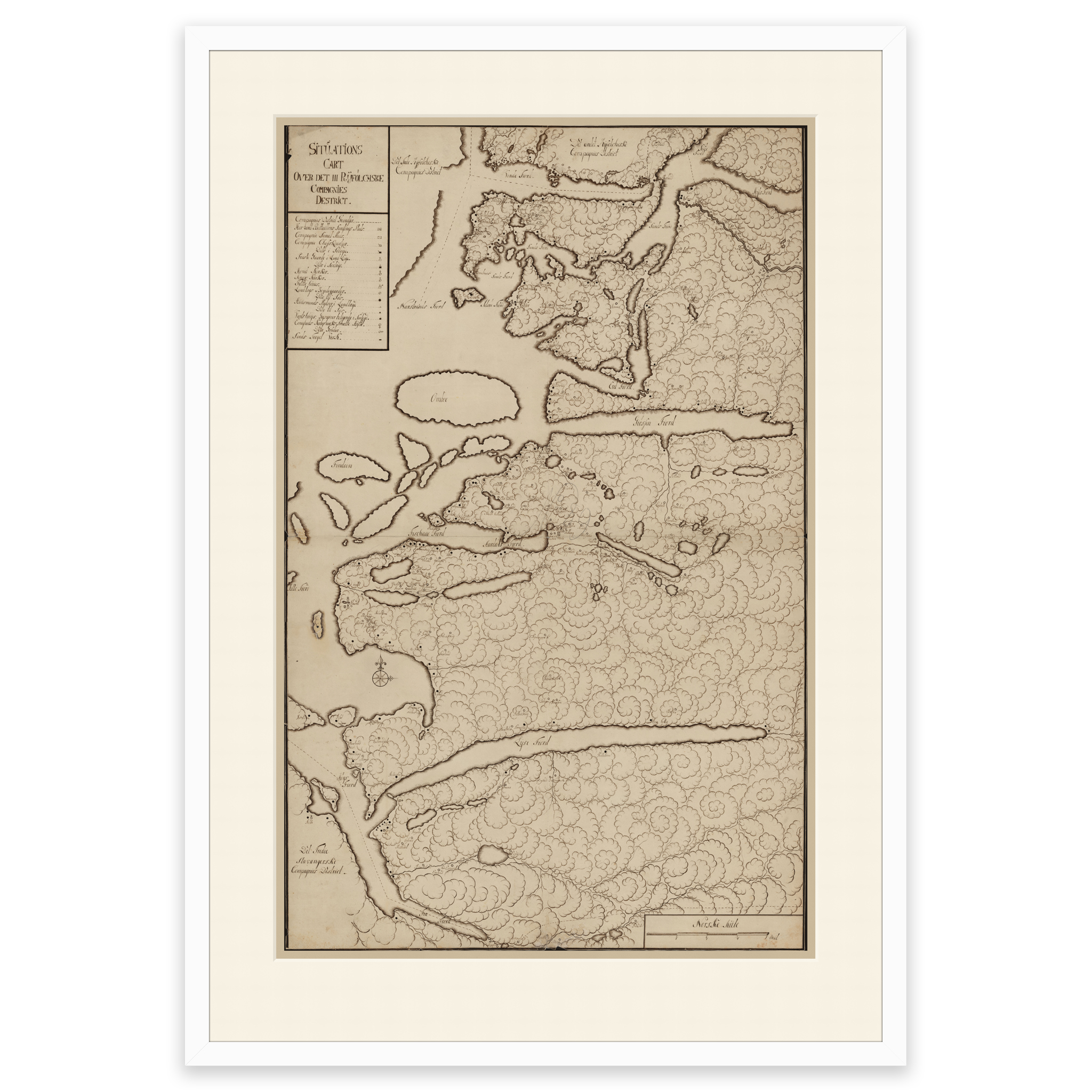
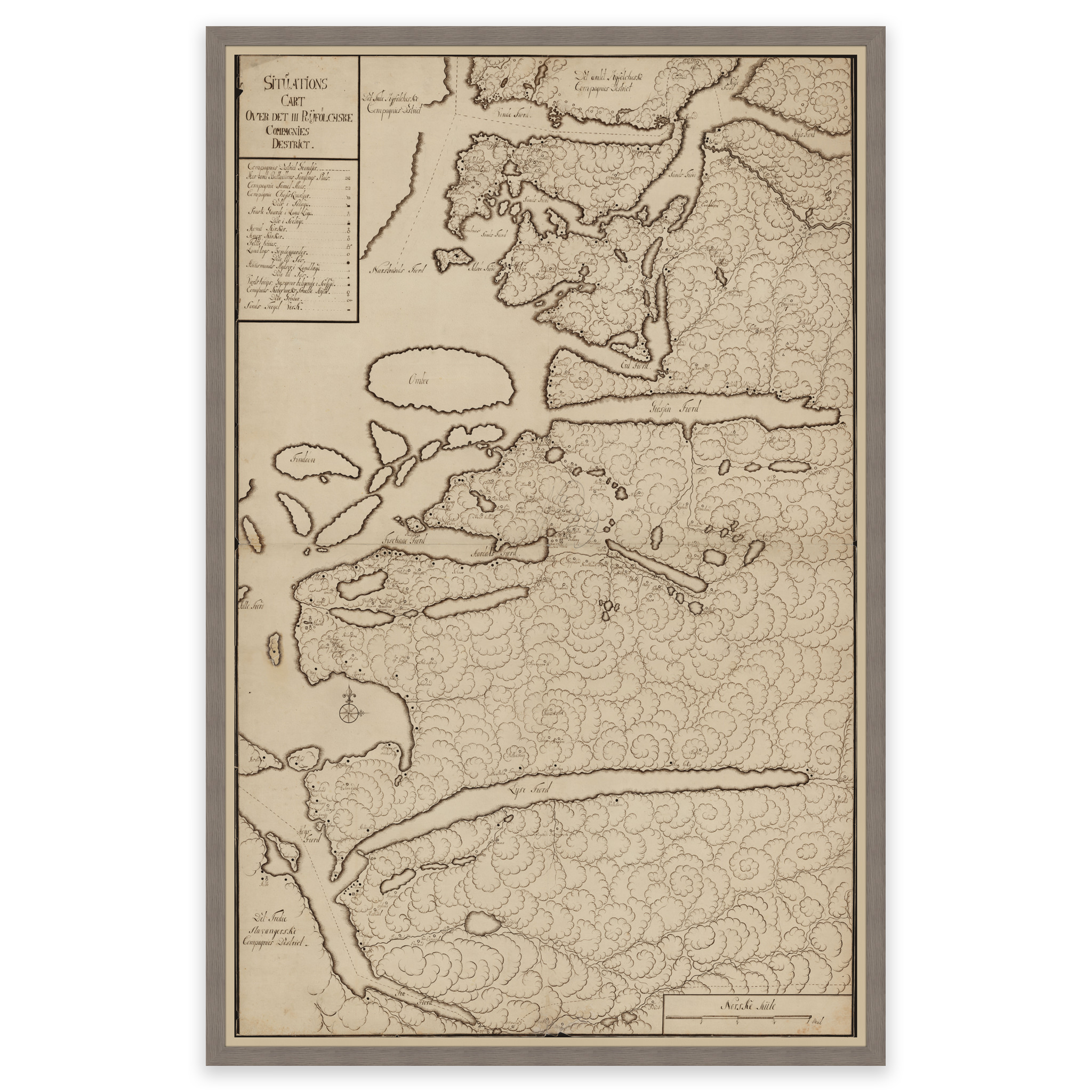
Ryfylke 1750
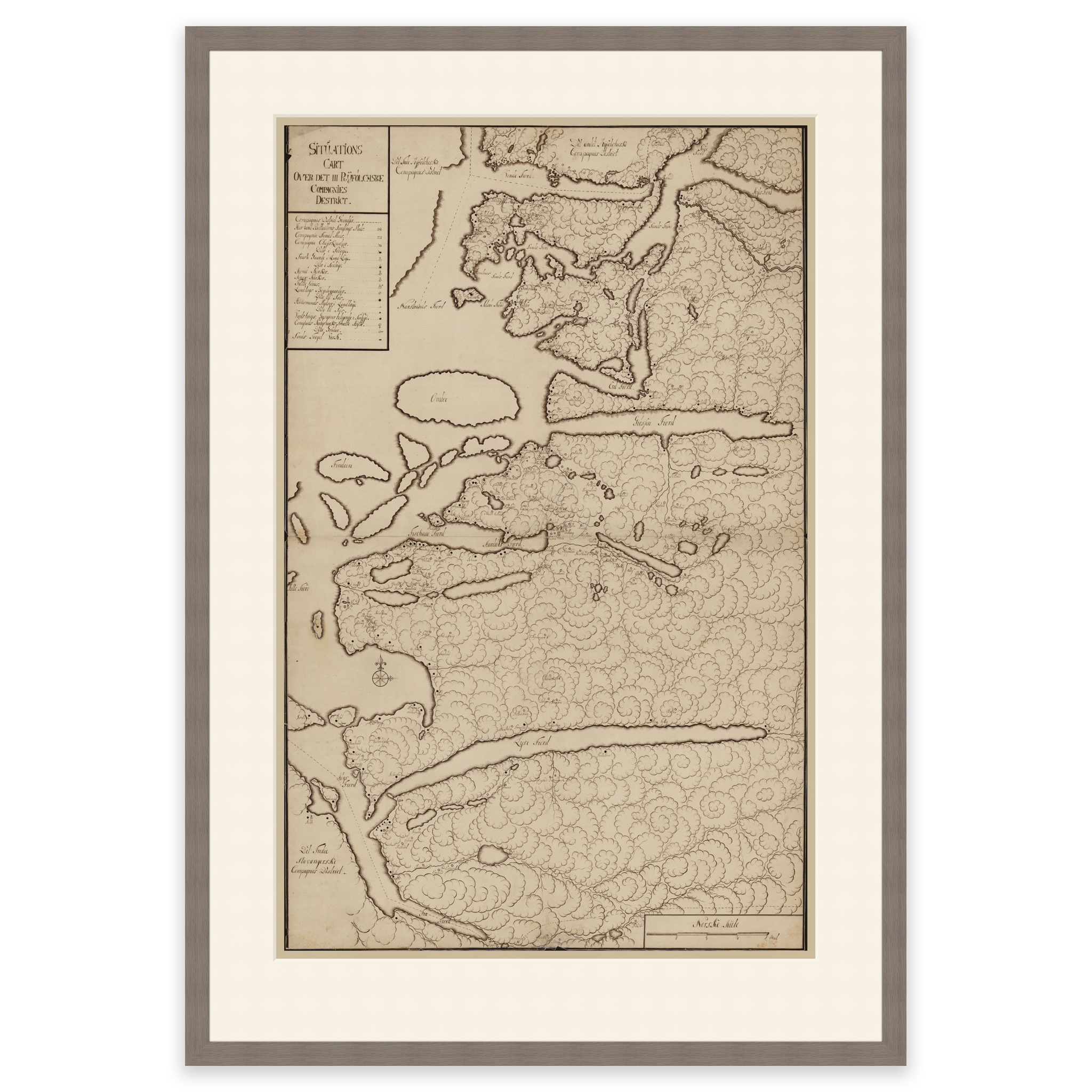
Hand-drawn map from 1750 of Ryflylke in Rogaland. The map shows the area Frafjorden, Lysefjorden, Vindafjorden and Sand. The map is delivered in its original size of 101.4 x 69.3 cm. Do you want the map in a different size? Just get in touch – we’ll be happy to give you a quote for customization.