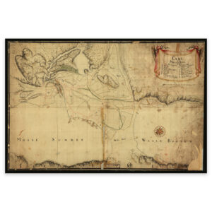

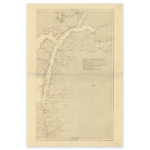
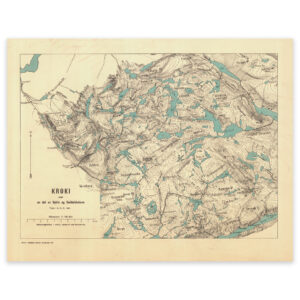
 Norwegian lighthouse 1877


Norwegian lighthouse 1877
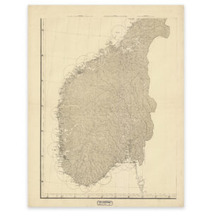
The map shows the large coastal lighthouses from Gjæslingan and south to the Swedish border. The smaller lighthouses along the shipping lane in 1877 are also shown. The map comes in its original size of 69.6 x 89.2 cm. The size with frame and passe-partout is 89.6 x 111.2 cm. Do you want the map in a different size? Just get in touch – we’ll be happy to give you a quote for customization.