


 Femunden – Trondheim 1740


Femunden – Trondheim 1740
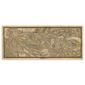
The map from 1740 illustrates the area between Lake Femunden and Trondheim. The original size of the map is 82.9 x 34.6 cm. The size with frame and passe-partout is 100.9 x 53.6 cm. Would you like the map in a different size? Just get in touch – we’ll be happy to give you a quote for customization.