
Description
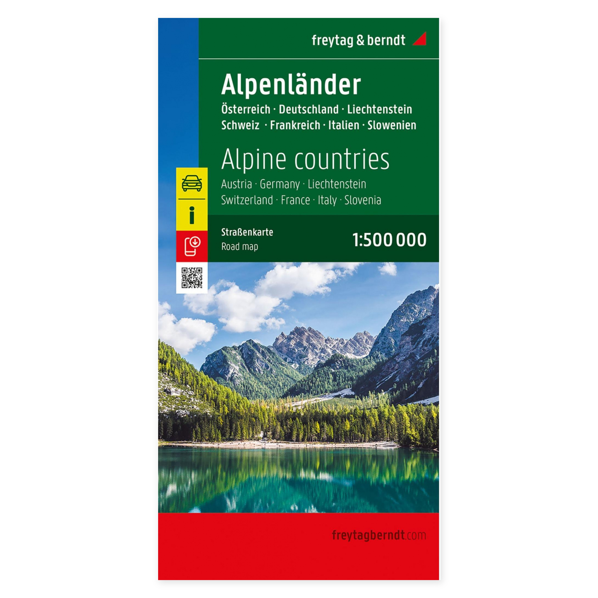
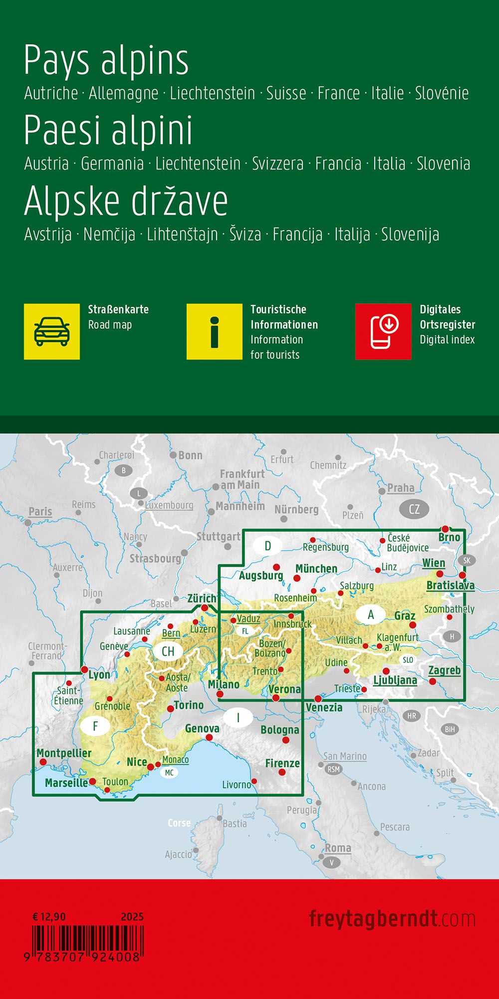
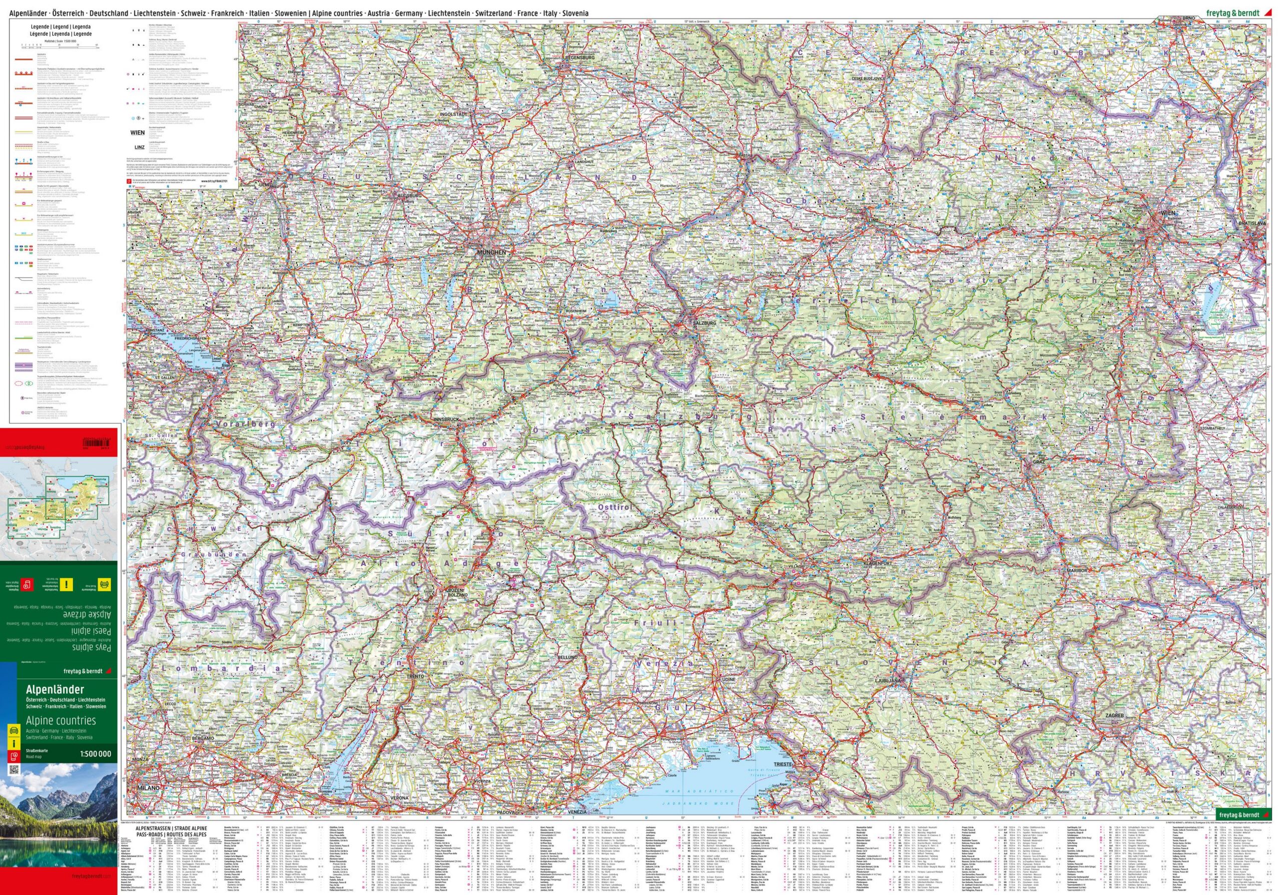
This roadmap covers the entire Alpine region and provides a comprehensive overview of the Alpine countries, including areas in Austria, Germany, Switzerland, France, Italy and Slovenia. The map is well suited for both planning and executing trips in one of Europe’s most varied and mountainous areas.
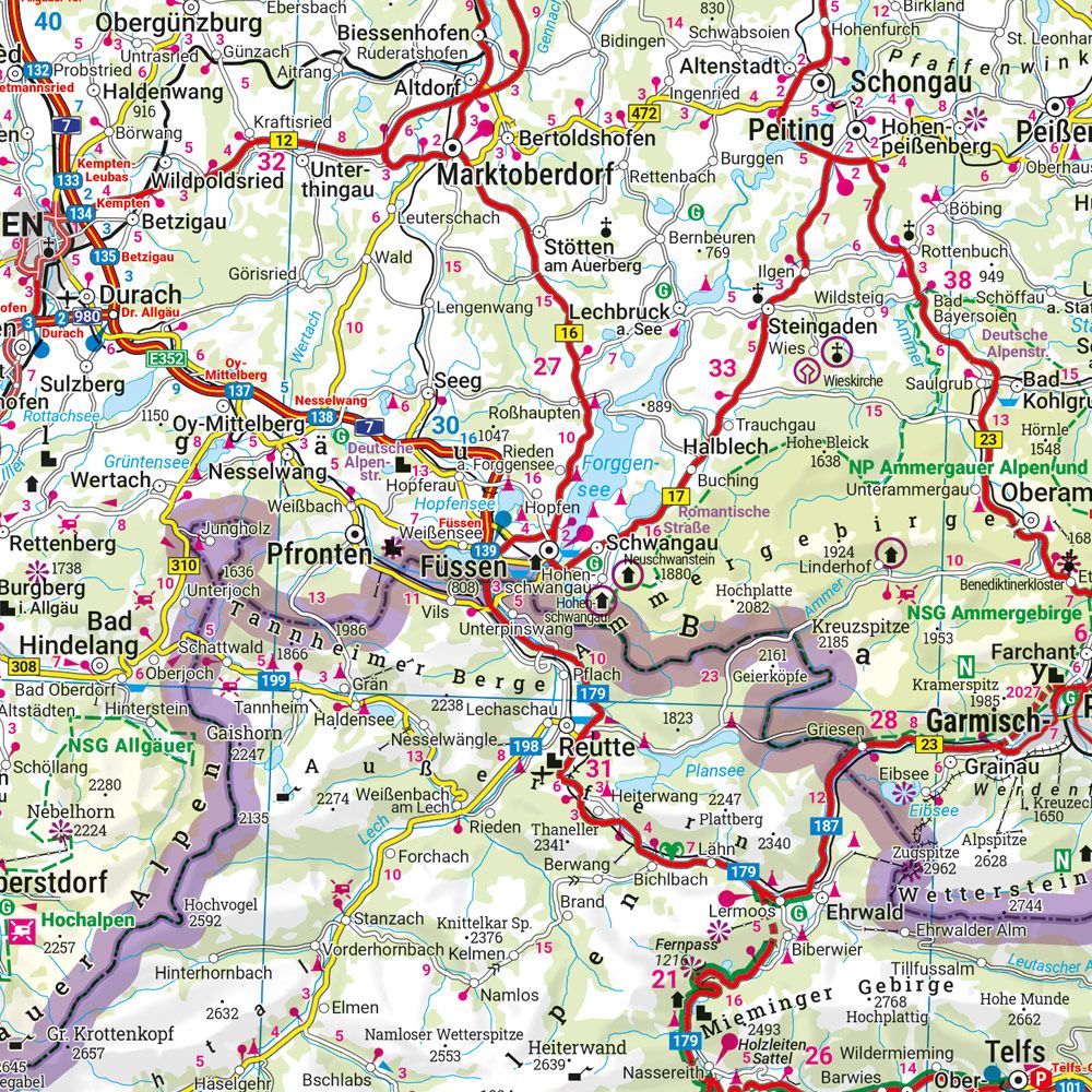
The map depicts a detailed and fine-meshed road network with main roads, mountain passes and smaller connections, making it possible to plan both efficient routes and more scenic alternatives. A number of tourist destinations and sights are marked, and distances between places are indicated, providing a good basis for travel planning. The map also includes campsites, making it particularly useful for motorhome and camping trips.
The cartography is clear and easy to read, with a good balance between overview and detail over a large geographical area. A digital place index provides easy access to place names and makes it easier to find desired destinations. The map works well both as a planning tool before the trip and as a practical aid along the way.
Release year: 2025.