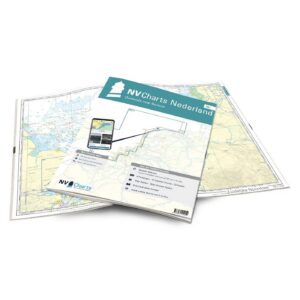
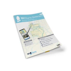
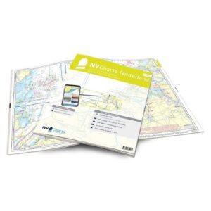
Description
Detailed nautical chart atlas for Wadden Sea and the Dutch part of the Wadden Sea, developed especially for recreational boaters and sailors. This atlas provides comprehensive coverage of the waters, harbors, tidal areas and approaches in one of Europe’s most distinctive and challenging coastal areas.
The map atlas covers the coastal areas from the Ems estuary and eastwards along the Dutch Wadden Islands, including Borkum, Schiermonnikoog, Ameland, Terschelling, Vlieland and Texel, as well as the coastal areas up to the entrances to the IJsselmeer. The area is known for large tidal differences, shifting banks and shallow waters, and the atlas is therefore particularly useful for safe navigation in the region.
The atlas contains 12 overview and waterway charts, 18 detailed charts and one crossing chart, as well as harbor plans and detailed approaches. In addition, there is a tide calendar, navigation information and bridge and height information. The charts are designed for recreational boating, with a clear layout and extra details even outside the main routes.
The charts are delivered in NV Charts’ convenient atlas format, opened in A2 and closed in A3, with a flat spine making them easy to use on board. The series is updated annually and also includes digital access to the charts through the NV Charts app with a 365-day license.
The atlas includes: passage charts, area charts, detailed charts, harbor plans, tide calendars, digital charts for apps and navigation programs, as well as an ongoing correction service during the season. The map base is based on official surveys and own surveys, with particularly good detailing also outside the main fairways.
This is a great choice for sailors and power boaters who want to explore the Wadden Sea with up-to-date and detailed charts.