Recreational nautical Charts – Netherlands
-
In stock
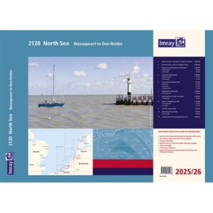
Netherlands coast – chart pack – Imray 2120
80,20 € Add to cart -
Low stock
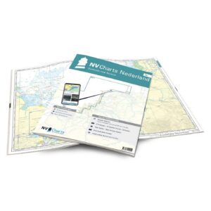
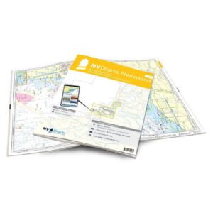
NV Charts NL1 Netherlands – Waterkaart Borkum til Oostende
80,20 € Add to cart -
Made to order
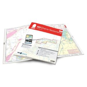
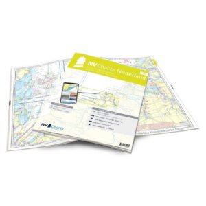
NV Charts NL2 Netherlands – Water map Wadden Sea
80,20 € Add to cart -
Low stock
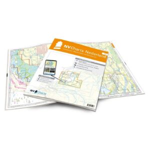
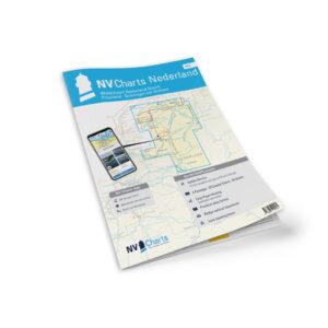
NV Charts NL3 Netherlands – Water map IJsselmeer & Randmeren
80,20 € Add to cart -
Low stock
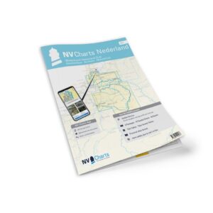
NV Charts NL4 Netherlands – Water map Rhine & Meuse Delta
80,20 € Add to cart -
Low stock
NV Charts NL5 Netherlands – Watermap Eastern & Western Scheldt
80,20 € Add to cart -
Low stock
NV Charts NL6 Netherlands – Water map Netherlands North
80,20 € Add to cart -
In stock
NV Charts NL7 Netherlands – Water map Netherlands South
80,20 € Add to cart