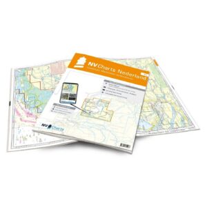
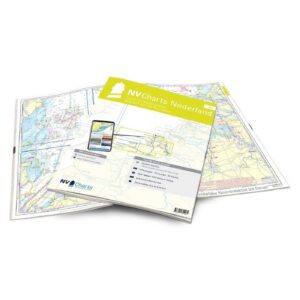
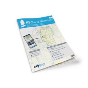
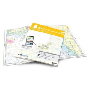
Description
Detailed nautical chart atlas for the coastline from Borkum to Ostend, developed especially for leisure boats and sailors. This atlas covers central parts of the Dutch North Sea coast and is particularly suitable for crossings, coastal sailing and transit sailing.
The map atlas covers the coastal waters from the German border areas and westwards along the Netherlands to the Belgian coast, with coverage of important offshore routes, port approaches and busy sailing areas. The area includes entrances to Terschelling, Vlissingen, IJmuiden, Amsterdam and Ostend. This makes the atlas very useful both for coastal navigation and as a connection map for further sailing towards Great Britain or the English Channel.
The atlas contains 4 crossing charts, 13 area charts and 13 detailed charts, as well as a tidal calendar, harbor plans and digital chart access via the NV Charts app. The charts provide detailed information on shipping lanes, port approaches, traffic separation zones, wind farms, oil installations and other important navigational information.
The coverage makes the atlas particularly suitable for longer voyages and crossings, while important ports and ports of refuge are included if weather or conditions make it necessary to seek port along the way.
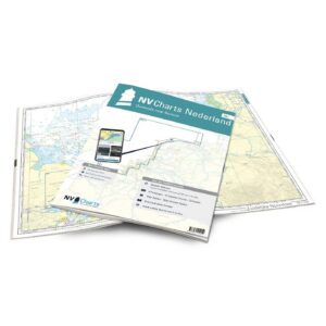
The charts are delivered in NV Charts’ practical atlas format, opened in A2 and closed in A3, with a flat spine that makes them easy to use on board. The atlas comes in a protective plastic cover and includes digital access to the charts with a 365-day license.
The map series is updated annually and includes ongoing correction services throughout the season. The map base is based on official surveys and own investigations, with detailed coverage also outside the main trails.
This is a great choice for sailors and power boaters who want an up-to-date and detailed map atlas of the Dutch North Sea coast and crossings in the area.