
Description
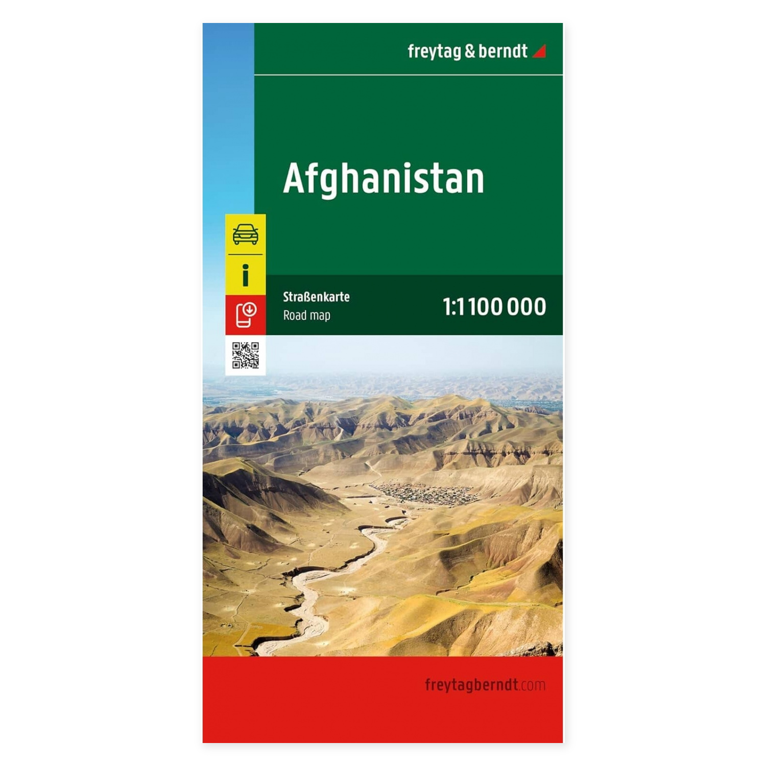
Detailed and clear roadmap of Afghanistan from freytag & berndt, designed for geographical overview, travel planning and studies of the country’s infrastructure and landscape.
The map shows main roads, regional roads and local connections, with clearly marked road numbers and distances between cities. In addition, petrol stations, airports, railways and other important infrastructure are marked on the map.
The terrain is depicted with shaded relief and elevations that provide a good understanding of Afghanistan’s dramatic landscapes and mountainous areas. Administrative boundaries of provinces are also included.
The map also contains geographical and tourist-related points such as historical sites, monuments, viewpoints and national parks. Some hotels and campsites are also marked where information is available.
The scale of 1:1,100,000 provides a good balance between detail and an overview of larger parts of the country.
The map is printed in a multilingual edition with text in English, German, French and other languages.
Scale: 1:1,100,000
Format unfolded: approx. 25.5 × 13 cm folded
Publication year: 2026