
Description
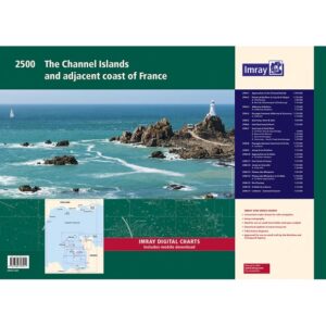
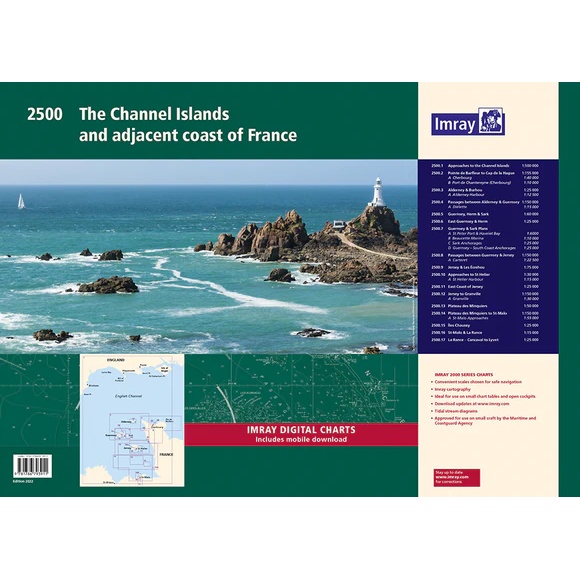
Imray 2500 is a comprehensive chart package for sailing around the Channel Islands and the nearby northern French coast. Delivered in a practical A2 format in a sturdy plastic folder, the chart pack is designed specifically for leisure boats, cruisers and smaller vessels.
This updated edition includes the latest available data from the UKHO combined with additional material from Imray’s own network of sailors and cartographers. The chart package covers the entire area from Saint-Vaast-la-Hougue and Cherbourg in the east to Guernsey, Jersey, Sark and Saint-Malo in the west and south.
The map package contains complete navigation charts for passage planning, approaches, harbors, anchorages and tidal information. Several detailed harbor plans and special maps make the atlas very suitable for coastal navigation in the area.
The map pack contains the following maps:
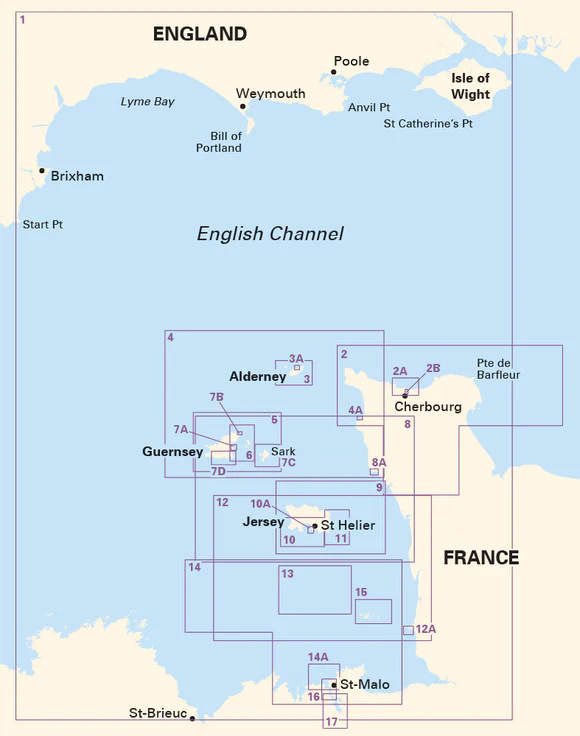
2500.1 Approaches to the Channel Islands – 1:500 000
2500.2 Pointe de Barfleur to Cap de la Hague – 1:155 000, with plans for Cherbourg and Port de Chantereyne
2500.3 Alderney & Burhou – 1:25 000, with plan of Alderney Harbour
2500.4 Passages Between Alderney & Guernsey – 1:150 000, with plan of Diélette
2500.5 Guernsey, Herm & Sark – 1:60 000
2500.6 East Guernsey & Herm – 1:25 000
2500.7 Guernsey & Sark Plans – several port and anchorage plans
2500.8 Passages between Guernsey & Jersey – 1:150 000, with plan for Carteret
2500.9 Jersey & Les Écrehou – 1:75 000
2500.10 Approaches to St Helier – 1:30 000, with plan for St Helier Harbour
2500.11 East Coast of Jersey – 1:25 000
2500.12 Jersey to Granville – 1:150 000, with plan for Granville
2500.13 Plateau des Minquiers – 1:50 000
2500.14 Plateau des Minquiers to St-Malo – 1:150 000, with plan for approach to Saint-Malo
2500.15 Chausey Islands – 1:25 000
2500.16 St-Malo & La Rance – 1:15 000
2500.17 La Rance – Cancaval to Lyvet – 1:25 000
The map package also includes a voucher for digital Imray maps in the Imray Navigator app.
Release year: 2022
Updated to: September 2022
Format: A2, double-sided maps in plastic folder