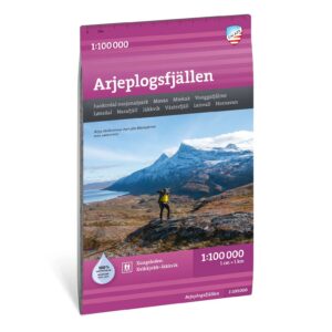
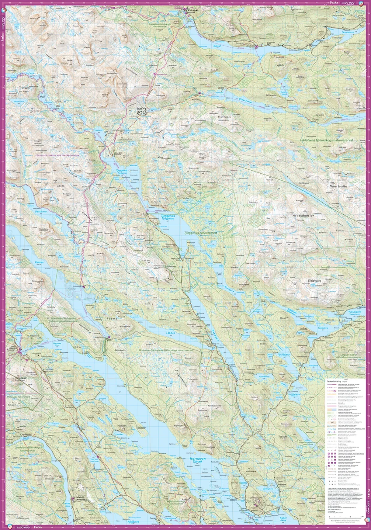
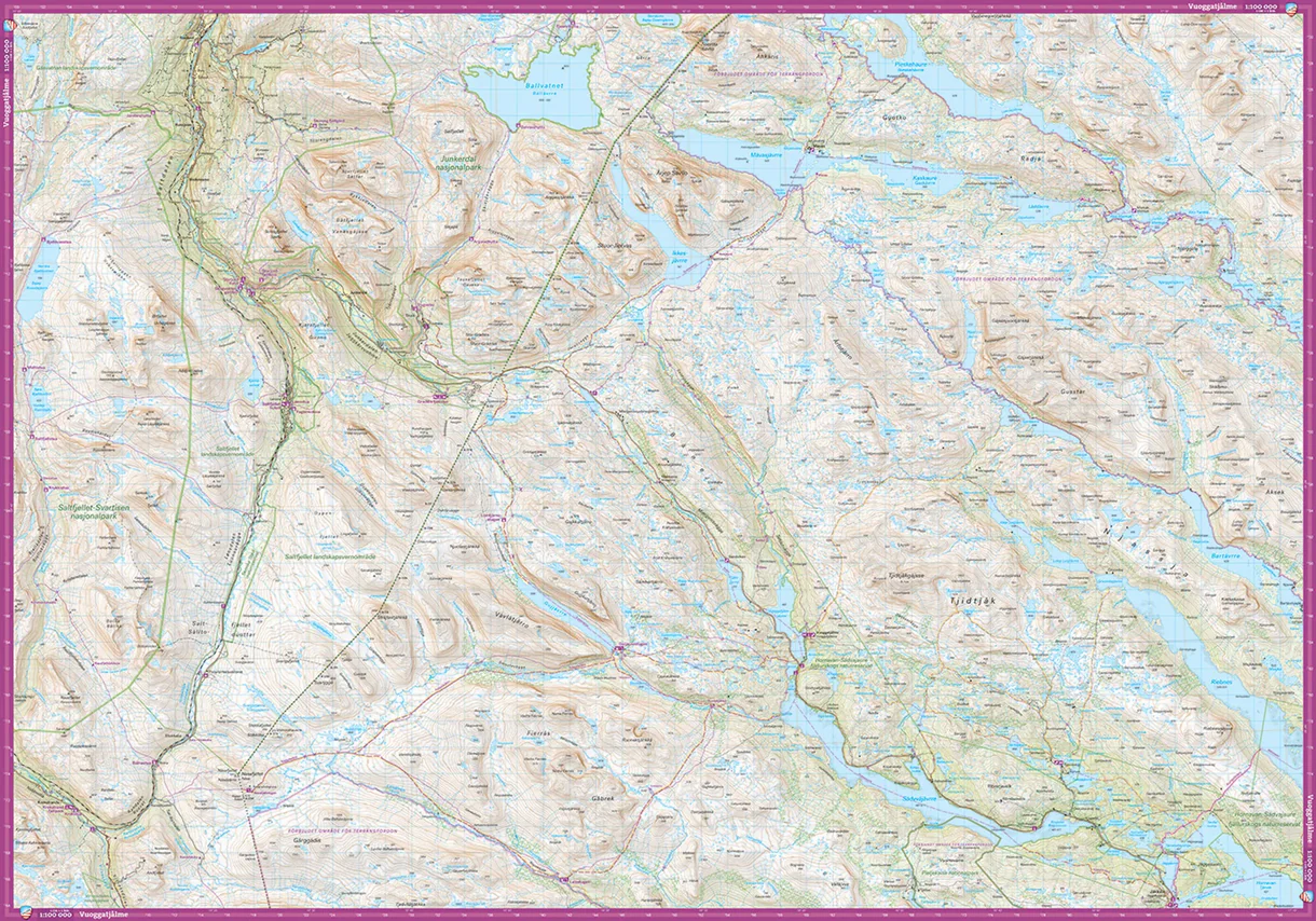
Description
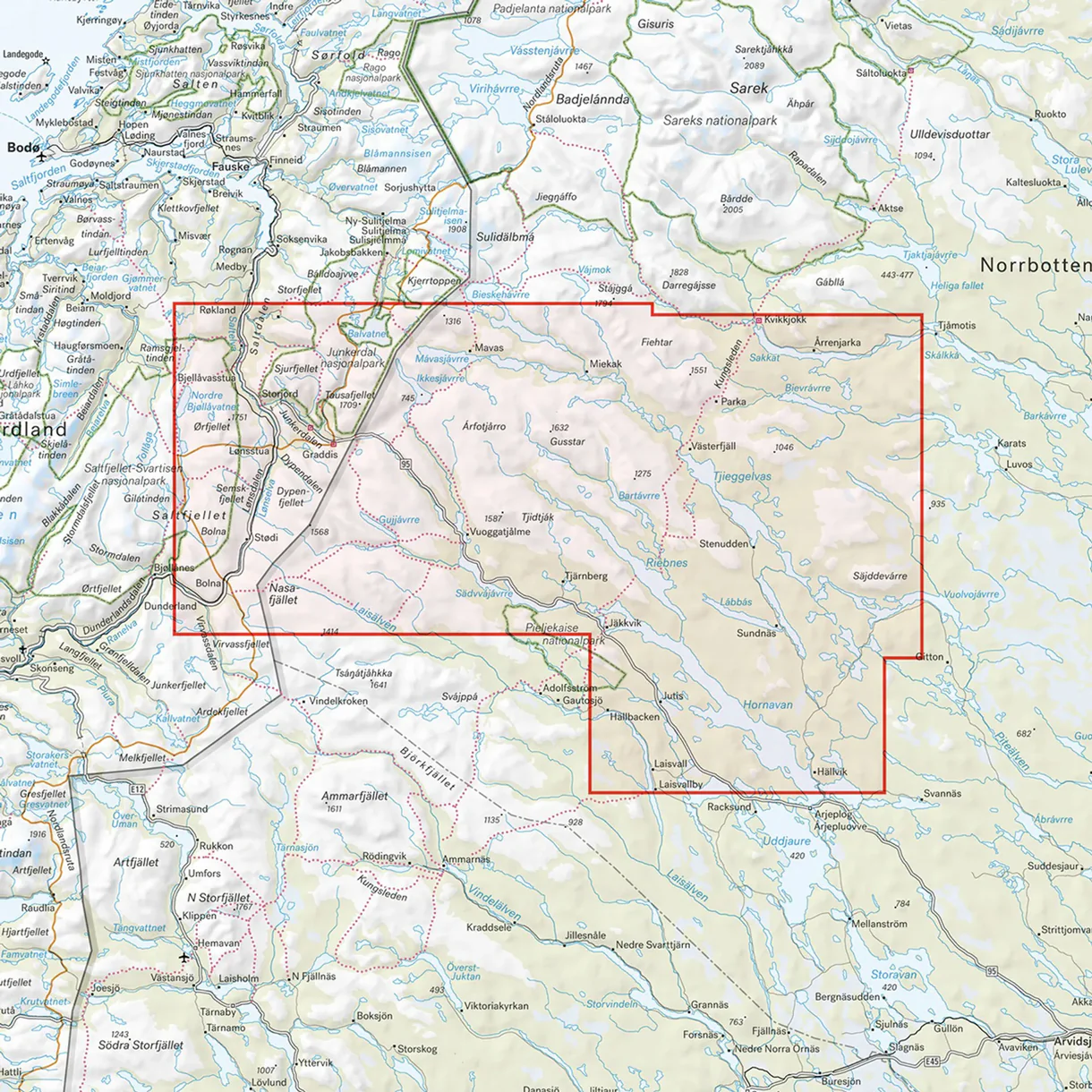
Arjeplogsfjällen hiking map 1:100,000 covers a large mountain and wilderness area in Swedish Lapland, close to the Norwegian border. The map is perfect for those going on longer hikes, trekking or exploring the nature in the area around Arjeplog.
The map shows marked trails, cabins, terrain information, water and other important information for planning and carrying out trips in the mountains. With a scale of 1:100,000, you get a good overview of large areas, making the map particularly suitable for longer trips and expeditions.
Calazo’s mountain maps are designed for active use in the outdoors and printed on durable and water-resistant Tyvek material. The map can withstand moisture, folding and harsh conditions far better than ordinary paper maps.
The map was last revised in 2024.