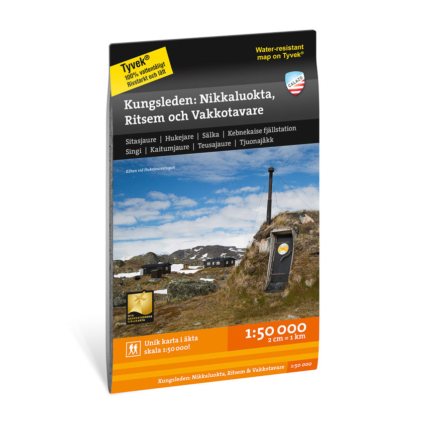
Description
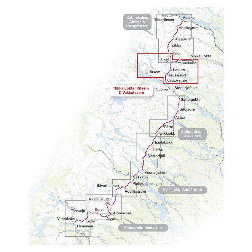
This hiking map covers the section of the King’s Trail between Sälkastugorna and Vakkotavare, as well as the connection to Nikkaluokta via Kebnekaise mountain station. The map also includes the Nordkalott Trail via Hukejaurestugan to Sitasjaure and Ritsem.
The map is suitable for longer hikes in the area around Kebnekaise and central parts of Kungsleden. It can be combined with the map Kungsleden: Kebnekaise, Abisko & Riksgränsen 1:50,000 if you plan to hike the entire stretch between Abisko and Vakkotavare/Ritsem.
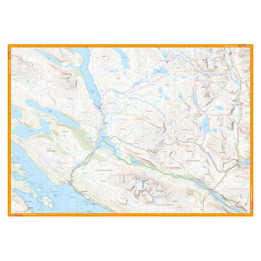
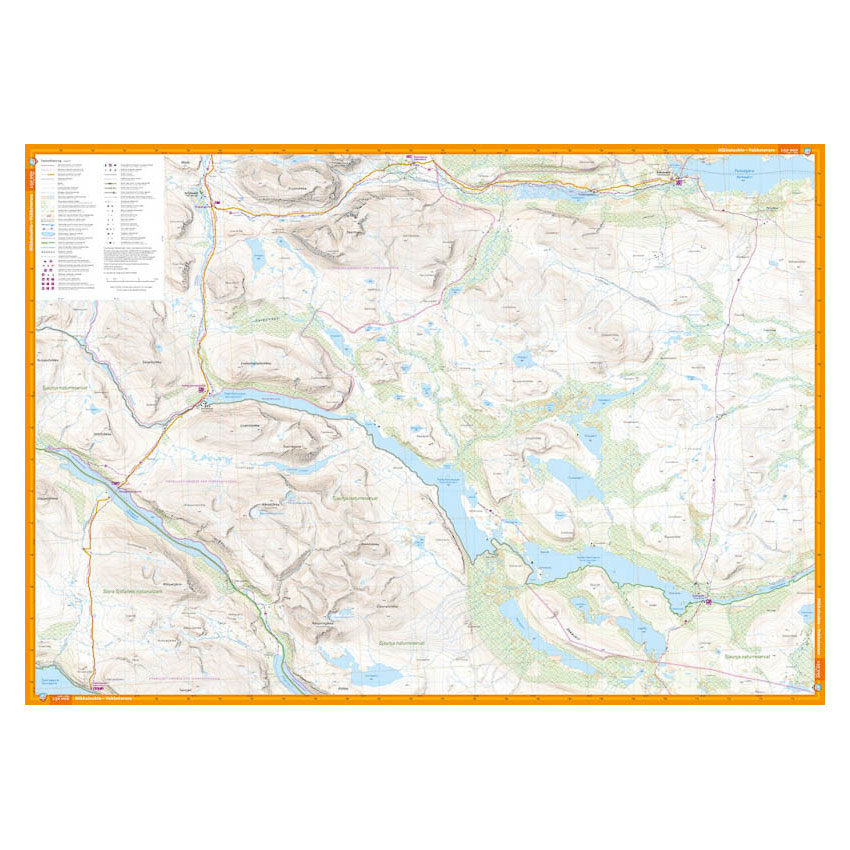
The map is at a scale of 1:50,000, which is the most commonly used scale for longer mountain hikes. At this scale, 2 cm on the map corresponds to 1 km in the terrain, which provides a good balance between overview and detail.
The map is printed on durable and water-repellent material (Tyvek), which can withstand active use in demanding conditions.
Calazo Förlag is a Swedish publishing house specializing in maps and books for outdoor life in the Nordic region.
Here you can see the area the map covers:
The map is released in 2025.