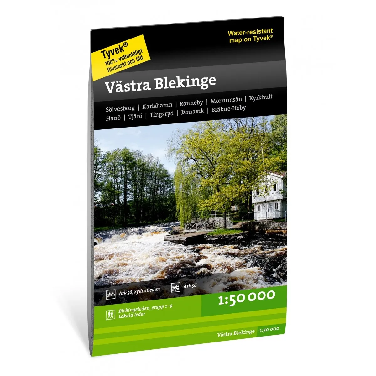
Description
Blekinge västra hiking map 1:50,000 covers the western part of Blekinge in southern Sweden – an area known for its beautiful coastal nature, archipelago, forests and great opportunities for outdoor activities.
The map is ideal for those who want to walk, cycle, paddle or explore nature in Blekinge. It shows marked hiking trails, cycling routes, nature reserves, water, terrain information and other useful information for planning trips and adventures outdoors.
With a scale of 1:50,000, you get a detailed map that is suitable for both day trips and longer hikes. The map covers an area with an exciting mix of coastal landscapes, lakes and woodlands.
Calazos hiking maps are designed for active outdoor use and are printed on durable and water-resistant Tyvek material. The map can withstand rain, moisture and hard use better than ordinary paper maps.