Description
Detailed mountain map of the King’s Trail between Kvikkjokk and Adolfström at a scale of 1:50,000.
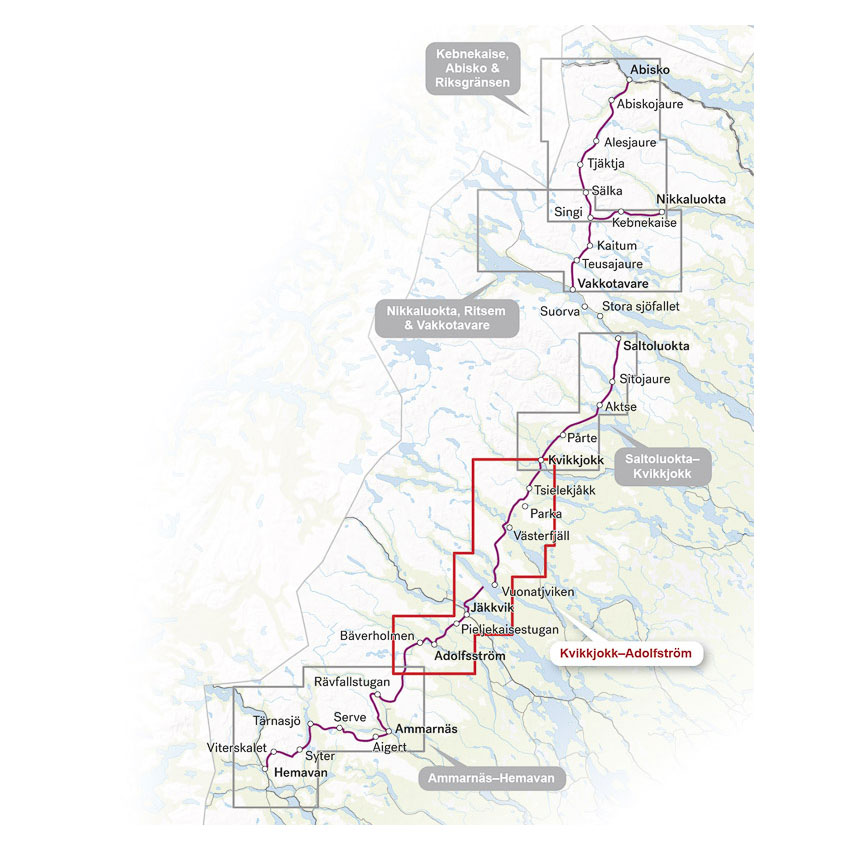
This map covers the stretch from Kvikkjokk in the north to Adolfström in the south, and continues where the map of Ammarnäs and Hemavan ends. The map is part of Calazo’s series covering the entire Kungsleden – from Abisko in the north to Hemavan in the south.
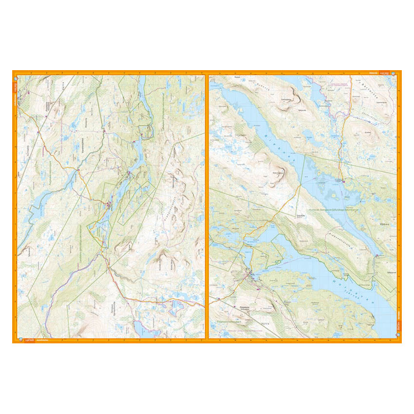
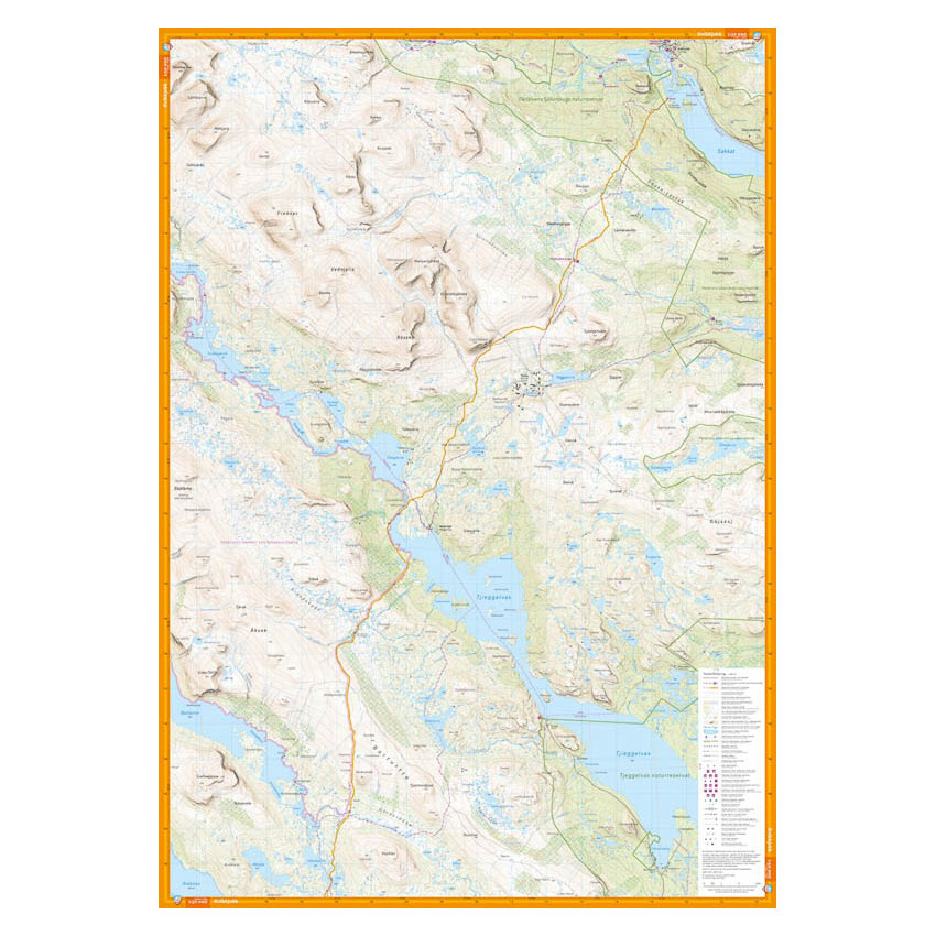
The map belongs to what Calazo refers to as the new generation of mountain maps, with a richness of detail that surpasses previous maps of the same area. The terrain layer is based on airborne laser scanning, which provides far more precise terrain shapes and elevations.
With an equidistance of 10 meters, contours, steep slopes, watercourses and terrain shapes appear more clearly than on traditional mountain maps. Paths, wetlands, buildings, rocky areas and hard-to-reach vegetation are also rendered with high accuracy.
The map is printed on Tyvek®, a synthetic material that is completely water-resistant and highly durable. It can withstand moisture, rain and hard use in the mountains, and won’t tear in the boards or lose color with use.
An ideal map if you’re hiking the Kungsleden trail through central Lapland and want a modern and robust hiking map with a high level of detail.
Here you can see the area the map covers:
Released in 2025.