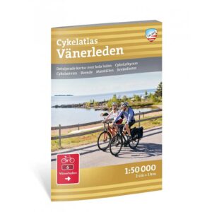
Description
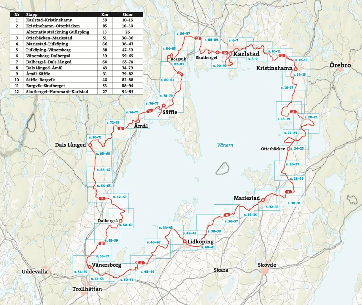
The Vänerleden cycling atlas 1:50,000 is designed for those who want to experience one of Sweden’s great cycling routes around Lake Vänern.
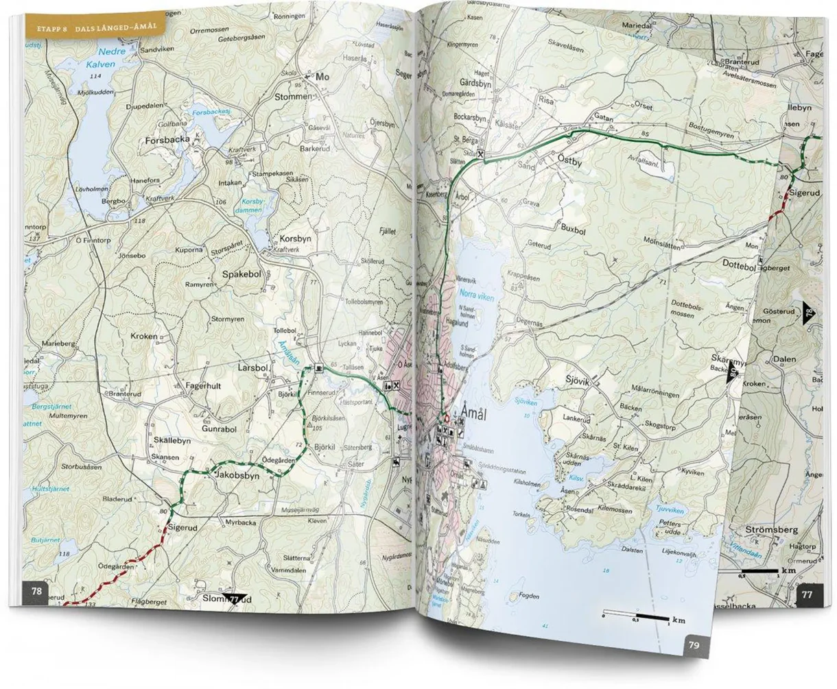
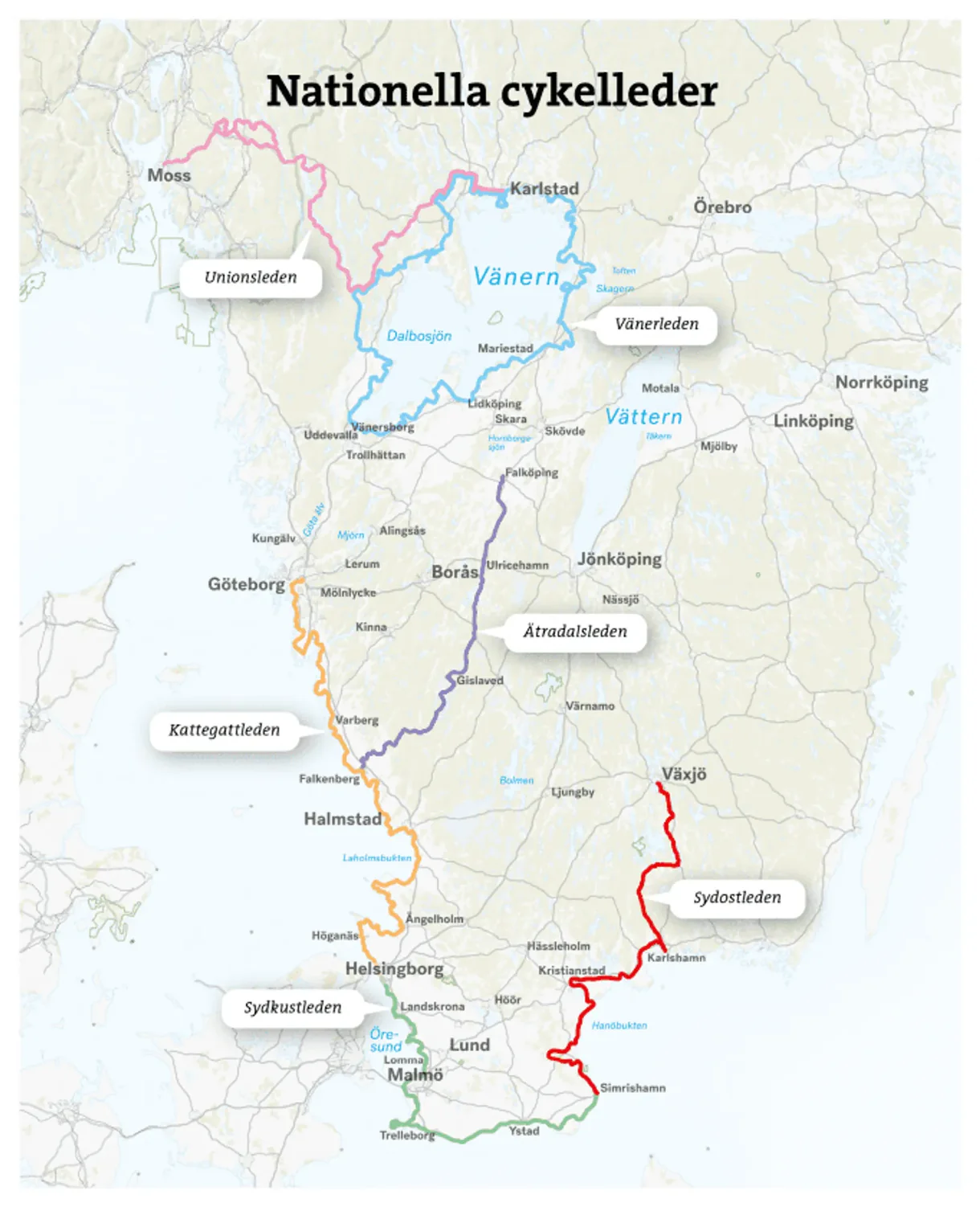
The map follows Vänerleden through a varied landscape with lake views, forests, cultural landscapes, historic sites and pleasant towns along Sweden’s largest lake. The route is suitable both for longer cycling vacations and for those who want to explore individual stages.
The atlas provides a good overview of the cycling route, roads, towns, nature areas and practical information that makes it easier to plan your trip. The map helps you find your way, divide up the day’s stages and discover interesting stops along Lake Vänern.
With a scale of 1:50,000, you get a detailed map base that is ideal for use on the bike. The format makes the map practical both for planning and as a companion on your journey.
Calazos maps are designed for active outdoor use and printed on durable and water-resistant Tyvek material. The map withstands rain, moisture and repeated folding far better than ordinary paper maps – perfect for use on bike rides.
The map was last revised in 2023.