
Description
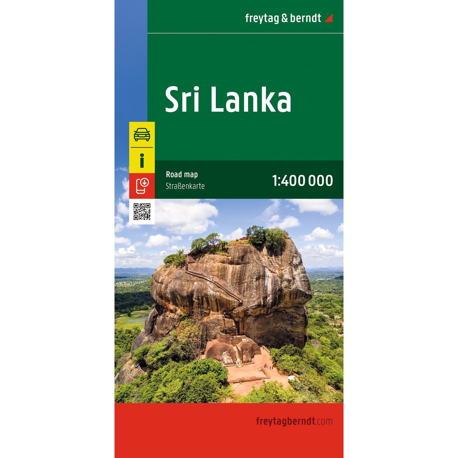
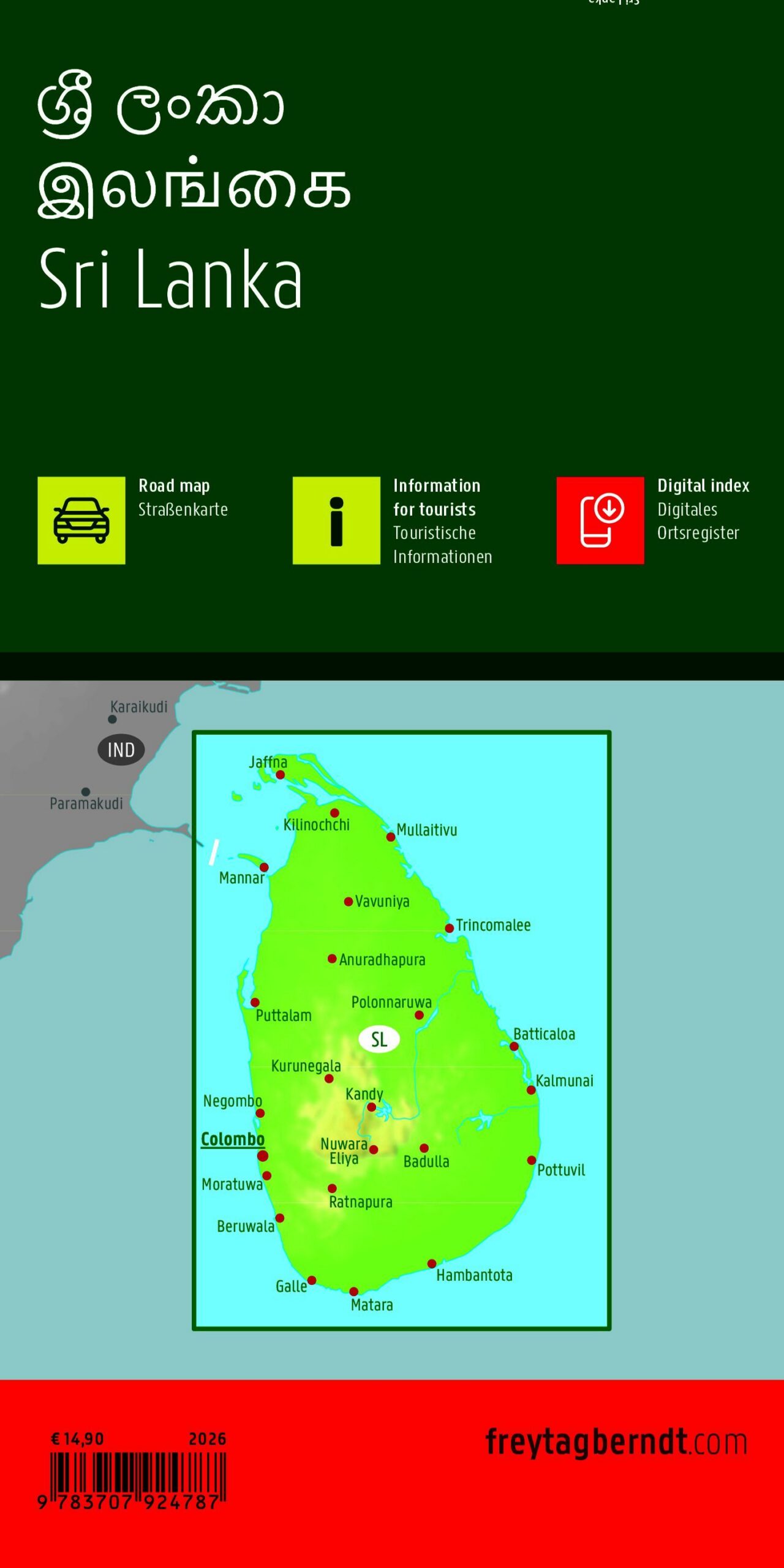
Sri Lanka – Road and Travel Map is a detailed map of Sri Lanka at a scale of 1:500, 000, designed for travel planning, road trips, and exploring the country. The map provides a clear overview of the road network, cities, and regions, combined with useful tourist information.
The map shows major roads, distances between locations, geographical details, and points of interest. Shaded relief provides a clearer understanding of the landscape and elevation differences, which is particularly useful in areas with mountains and varied terrain.
The map includes a number of additional map sections and city maps, including those of Colombo, Kandy, Galle, Jaffna, Negombo, Anuradhapura, Polonnaruwa, Hikkaduwa, and Unawatuna, as well as separate temple maps for selected historical areas.
The map is published by Freytag & Berndt, one of Europe’s leading map publishers specializing in travel, road, and recreational maps. This is a fold-out map in a convenient format, easy to take with you on your trip.
The map was published in 2026.