
Description
The landscape and the journey
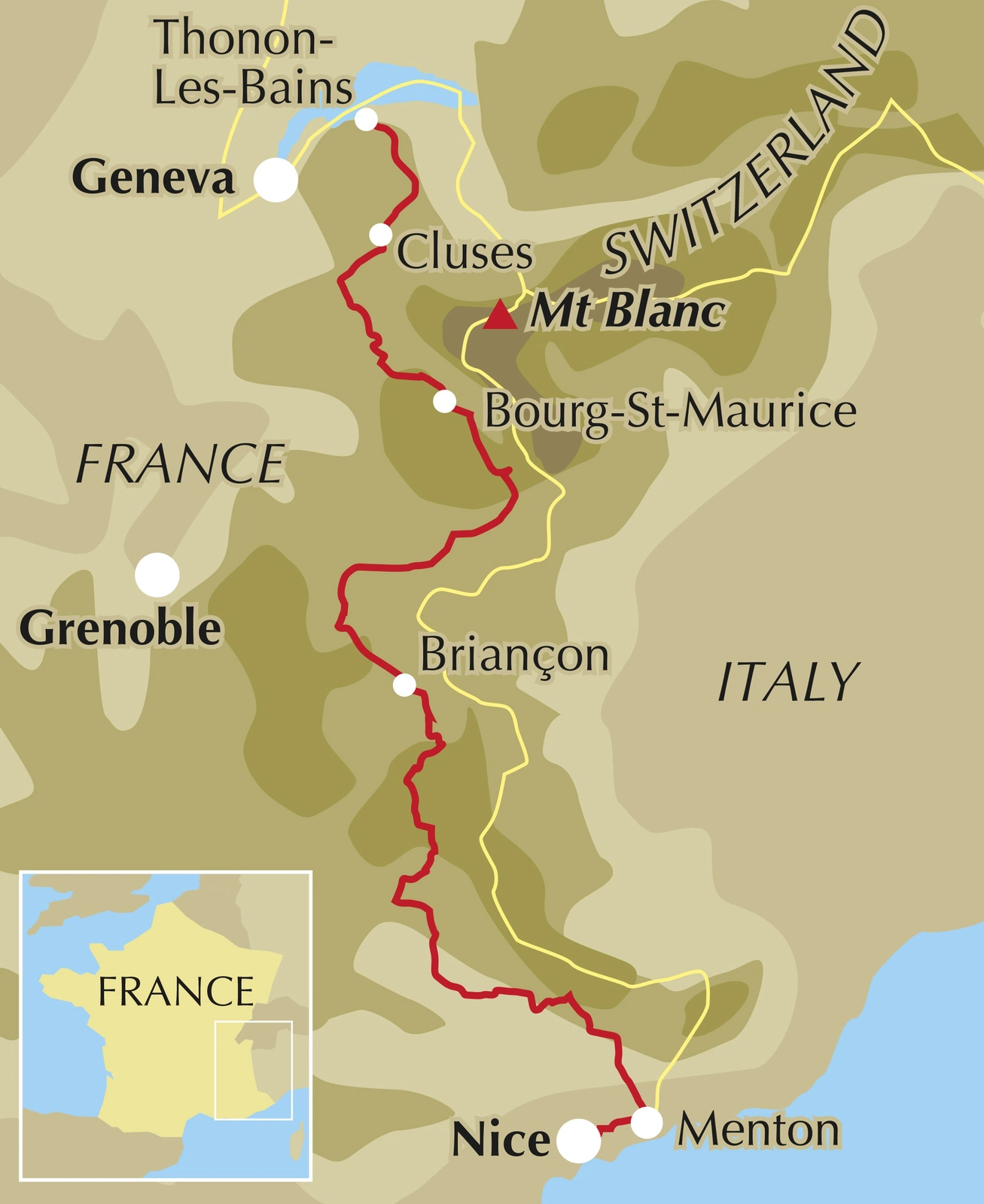
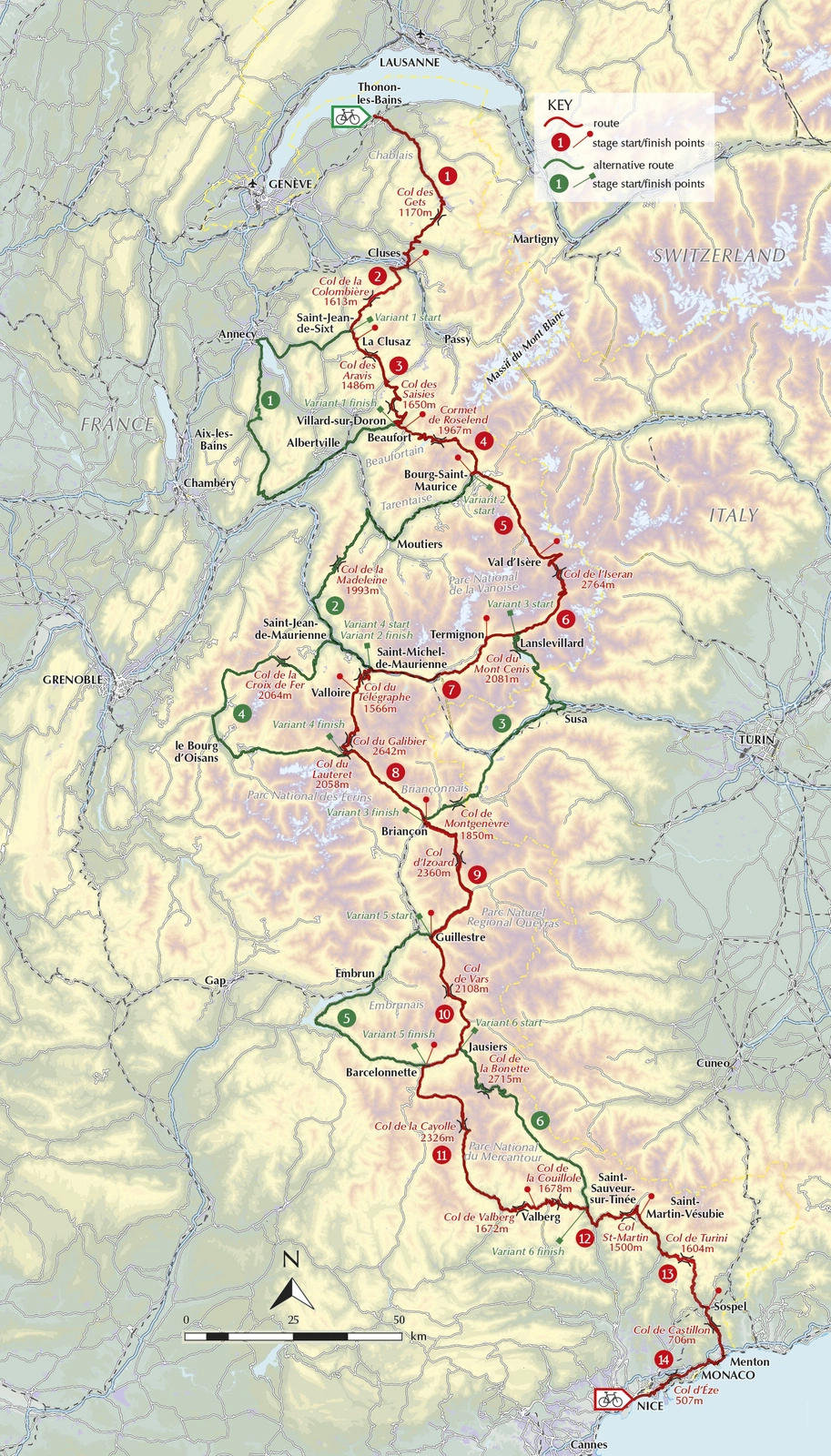
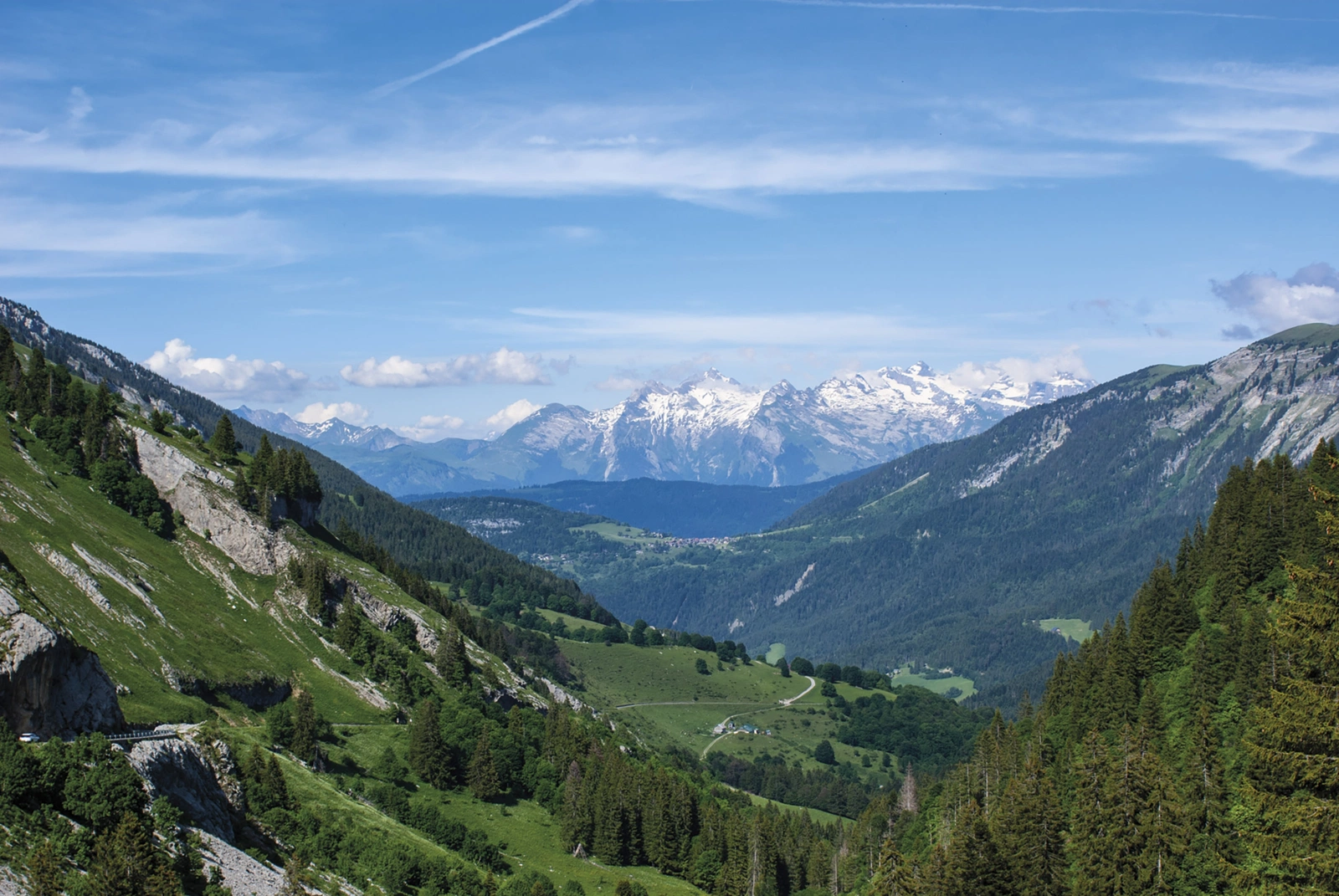
The Route des Grandes Alpes links Lake Geneva with the Mediterranean through some of France’s best-known passes. From Thonon-les-Bains to Nice, the Vanoise, Écrins and Mercantour form the backdrop. Climbing is central to this journey, and the guide helps you distribute the major mountain days.
Routes and itinerary options
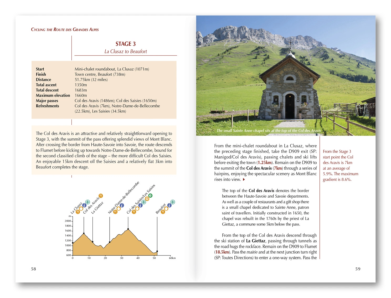
The 14 stages range from approximately 31 to 75 kilometres, taking in climbs such as Iseran, Galibier, Izoard, Cayolle and Turini. Six variants offer other possibilities. Bourg-Saint-Maurice, Val d’Isère and Briançon provide natural stops for an itinerary of roughly one to two weeks, adapted to fitness, luggage and ascent.
Maps and practical planning
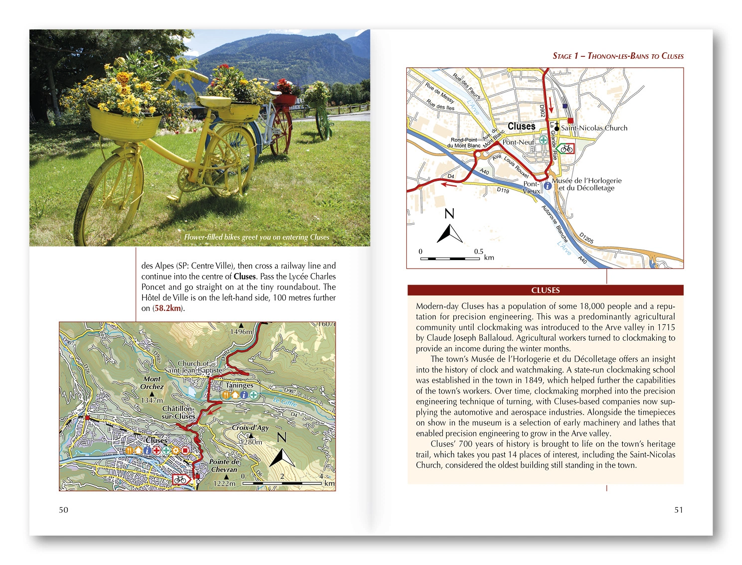
1:150,000 maps and elevation profiles support daily planning. GPX files are available from Cicerone for the main route and variants. Advice covers bike choice, preparation, accommodation, food, transport and e-bike use and charging, helping you connect practical arrangements with realistic stages between the passes.
Choosing the right trip
The route is entirely on roads, but sustained climbs and long descents make it demanding. Mountain-road experience, good fitness and suitable gearing matter. Check pass openings and current weather, and allow flexibility for conditions and your energy levels.
About this edition
English-language guidebook by Giles Belbin. First edition, published in 2022. 200 pages. ISBN 9781786310545.